Faroe Islands: Eysturoy.
The weather held for us once again, and even nicer than yesterday, warm and with mostly blue skies, and nary a drop of rain, as we spent the day visiting and and covering quite a bit of neighboring Eysturoy island, connecting to it from Streymoy island by way of the Eysturoyartunnilin (the Eysturoy Tunnel). The tunnel opened in 2020, and runs beneath Skálafjørður, the fjord between the two islands. It was a hell of an expensive toll, around $27 each way. I checked online to see if there was another way to connect, but my search said only by ferry – which turned out to be dead wrong. Of course, I should have known it was wrong and checked further (never fully trust an online search), as it would simply be way too expensive for people traveling from one island to another to pay that amount regularly, even with the reduced prices that come with an annual subscription, and there must have been a way to get across before the tunnel was built just a few years ago, besides the ferry. There is, and it is the Streymin Bridge, which has no cost, which we took back at the end of our day.
The tunnel is about seven miles long, and interestingly has a roundabout in it, where the tunnel branches in three directions. We were not aware of that, so the roundabout sort of came out of the blue for us and was quite a surprise. It is pretty amazing to see a full-sized roundabout in a tunnel, and I’m glad to have experienced it – but not for $27 one way. After all, a tunnel is a tunnel, even if it does have a roundabout. You’ve seen one, you’ve seen ’em all.
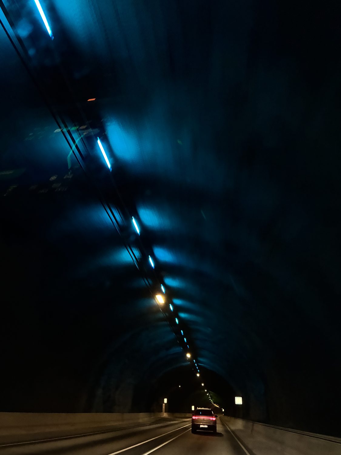
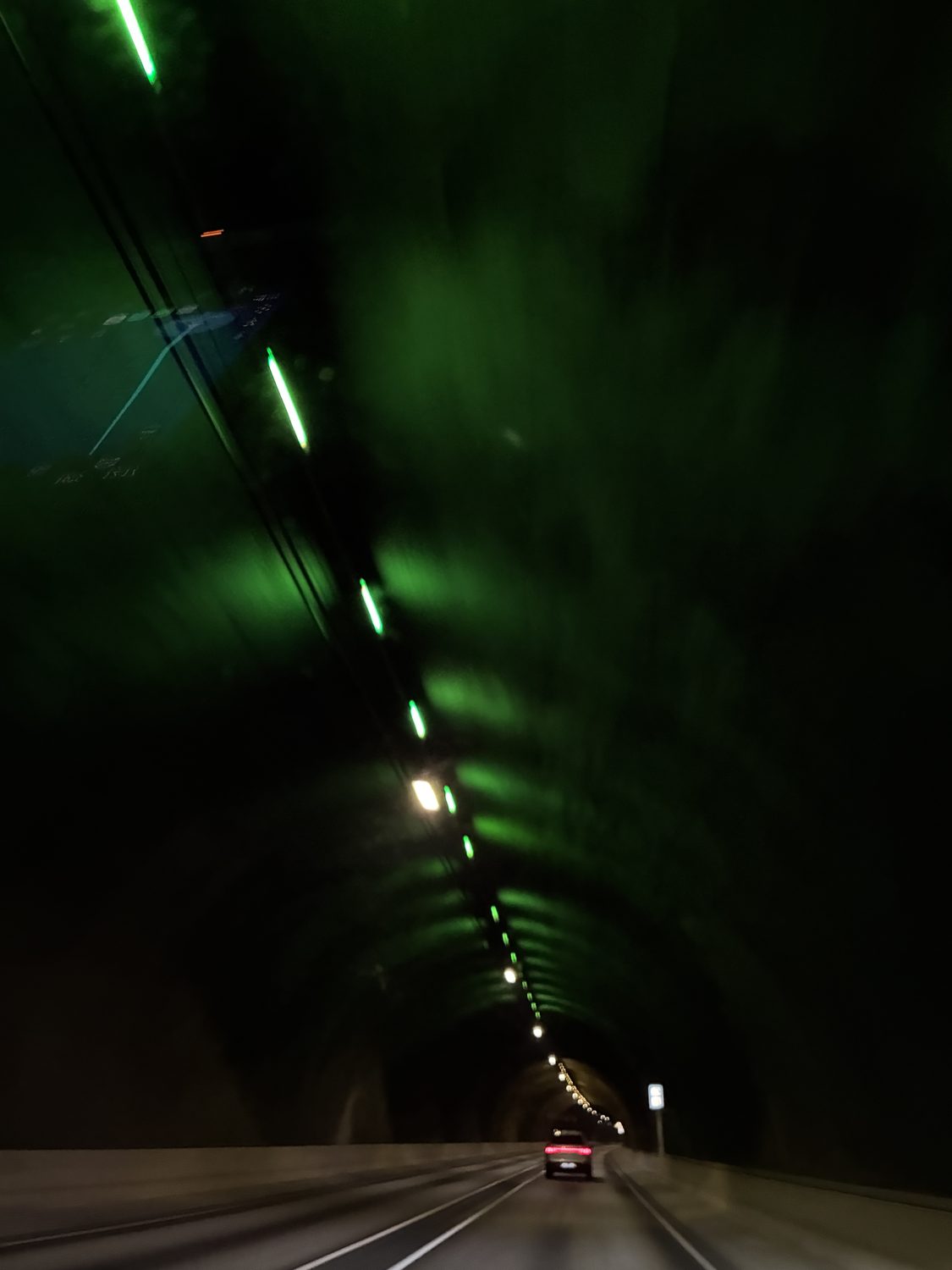
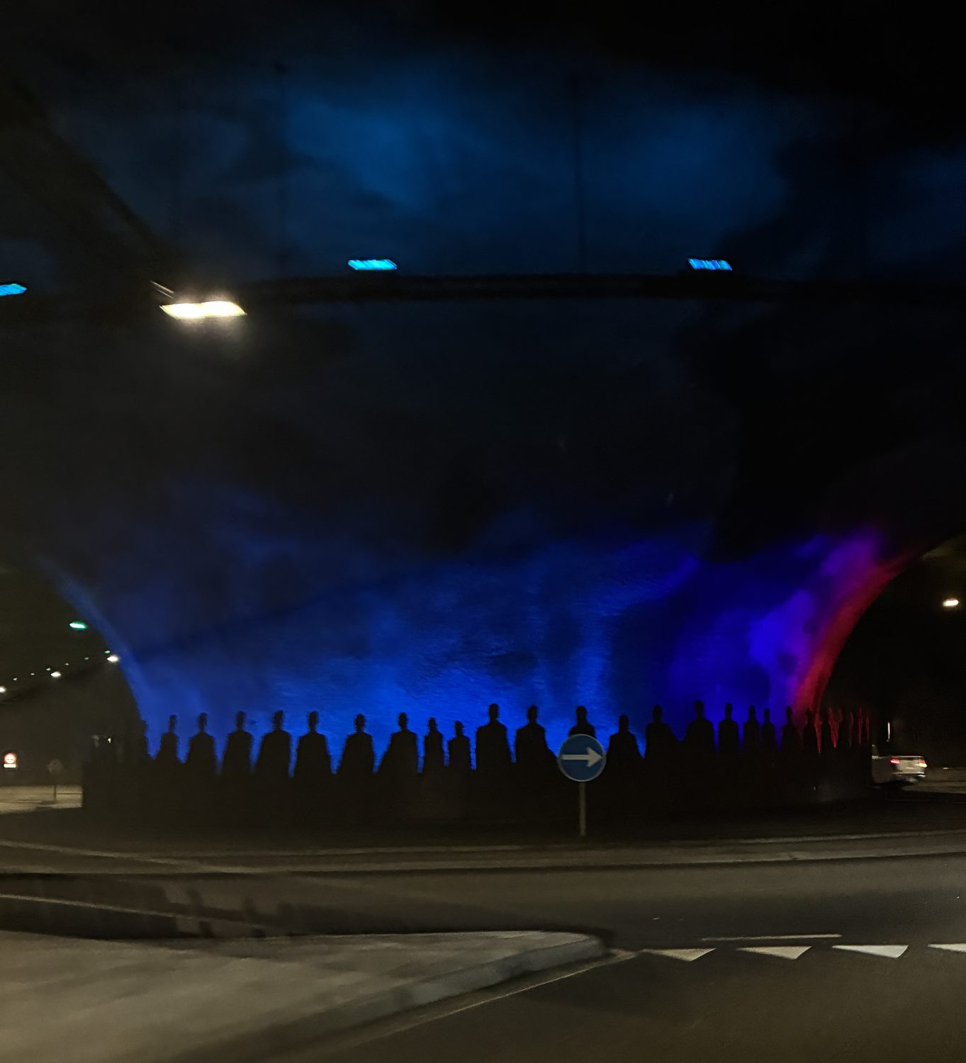
At any rate, now we were on Eysturoy heading for our first stop in Runavik, the third largest town in the Faroes, although it is hardly large. It sits along Skálafjørður, the fjord we passed under in the tunnel, which flows into the Sundini sound as it stretches north between the islands, and from there the North Atlantic, which surrounds the Faroe Islands, connected by the many sounds and fjords of the Islands. Runavik stretched along the shoreline, with mountains behind the town and running along both sides of the shoreline. We were not especially impressed with the town, which is both small and really a working and functional town rather than either an interesting city or a tourist village. There is a port there, with a very large ocean liner docked there and lots of boat passengers wandering the streets, planning guided tours into the surrounding area. Frankly, we just couldn’t see why this was the place for a stop on the cruise, as it just isn’t that interesting.
Actually, by now, both Elana and I were wondering if three days would be too much for us in the Faroes, given how unvarying the landscape is, despite its beauty. We figured we’d be more-or-less repeating yesterday’s tour of Streymoy, except on Eysturoy today, and the same on another island tomorrow. Despite Elana’s long standing wish to visit the Faroes (which is actually why we came), she was thinking maybe two days would be adequate, as was I.
We were wrong! I was also wrong about the lack of picturesque, quaint, and charming villages scenes. The island is not the same as Streymoy, although of course shares essential similarities, and as the day developed we not only saw many awe inspiring and gob smacking mountain and water landscapes, but we also saw and visited some really lovely small and charming villages. Two days is not enough (but three might be just right).

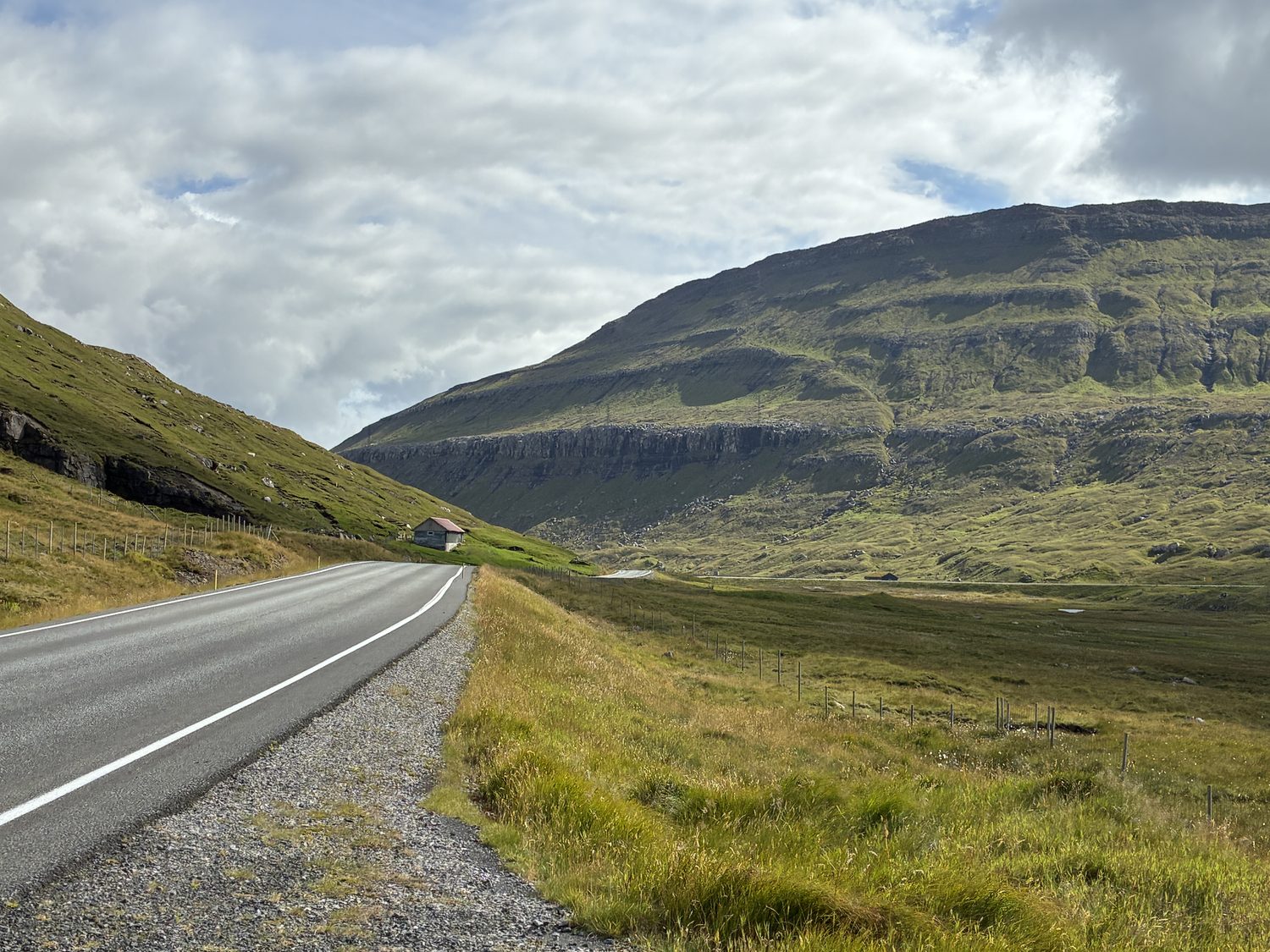
But, as we left Runavik we were still feeling we’d be seeing more of the same as we headed to Funningur, only about 17 miles north and 30 minutes away, although it soon started to dawn upon us that we were wrong as one spectacular landscape after another came into view. More big wow moments unfolded in front of us as we headed toward the northernmost point on the island, passing from the Sundini sound to our west, through the central and mountainous countryside, and then along the Funningur Fjord (Funningsfjørður) on the northeastern side of the island. It was spectacular.
Soon, the small – and quaint – village of Funnigar came into view around the curving mountain roads, and with it the beautiful and deep blue of the Funningur Fjord.
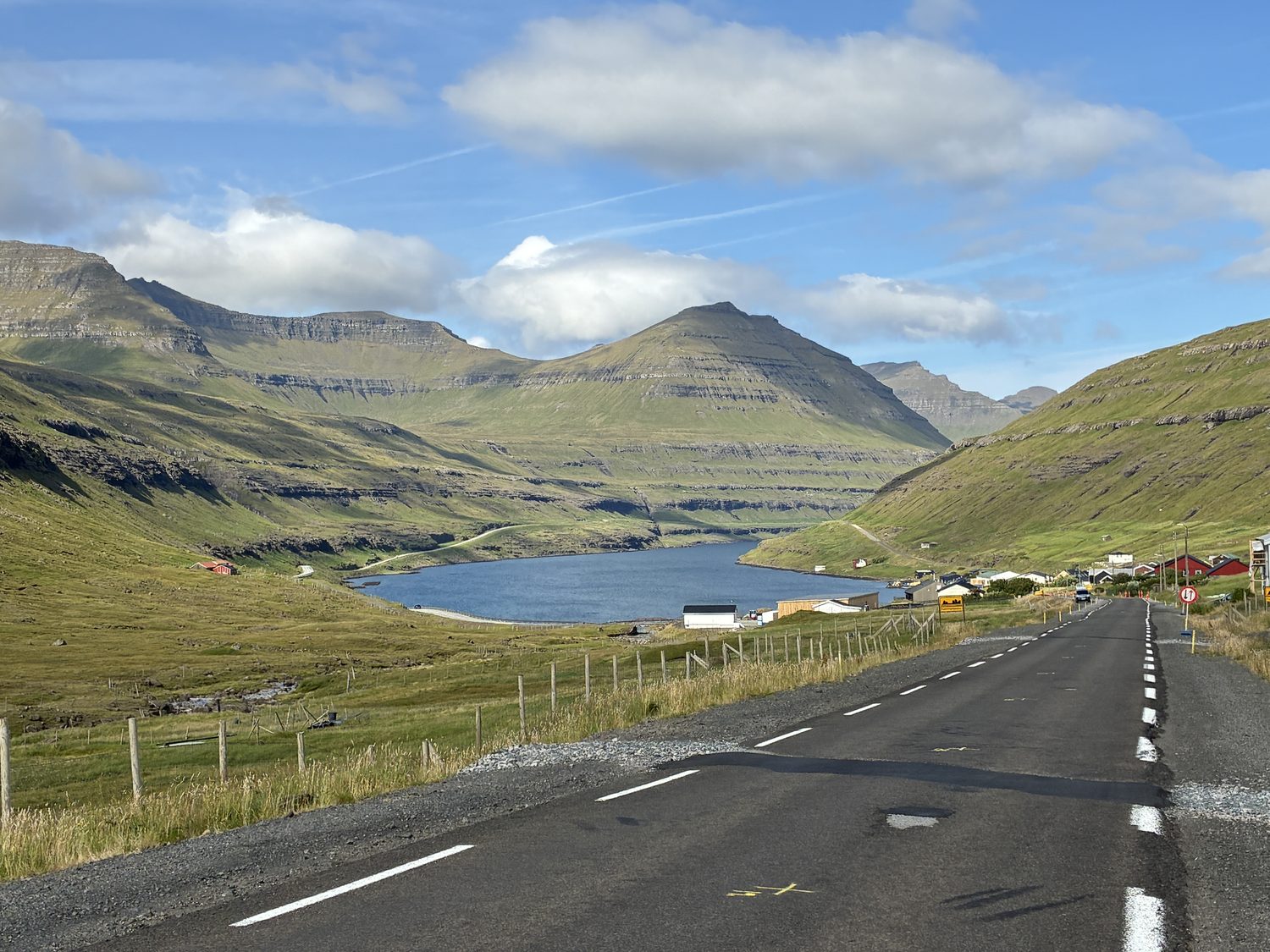
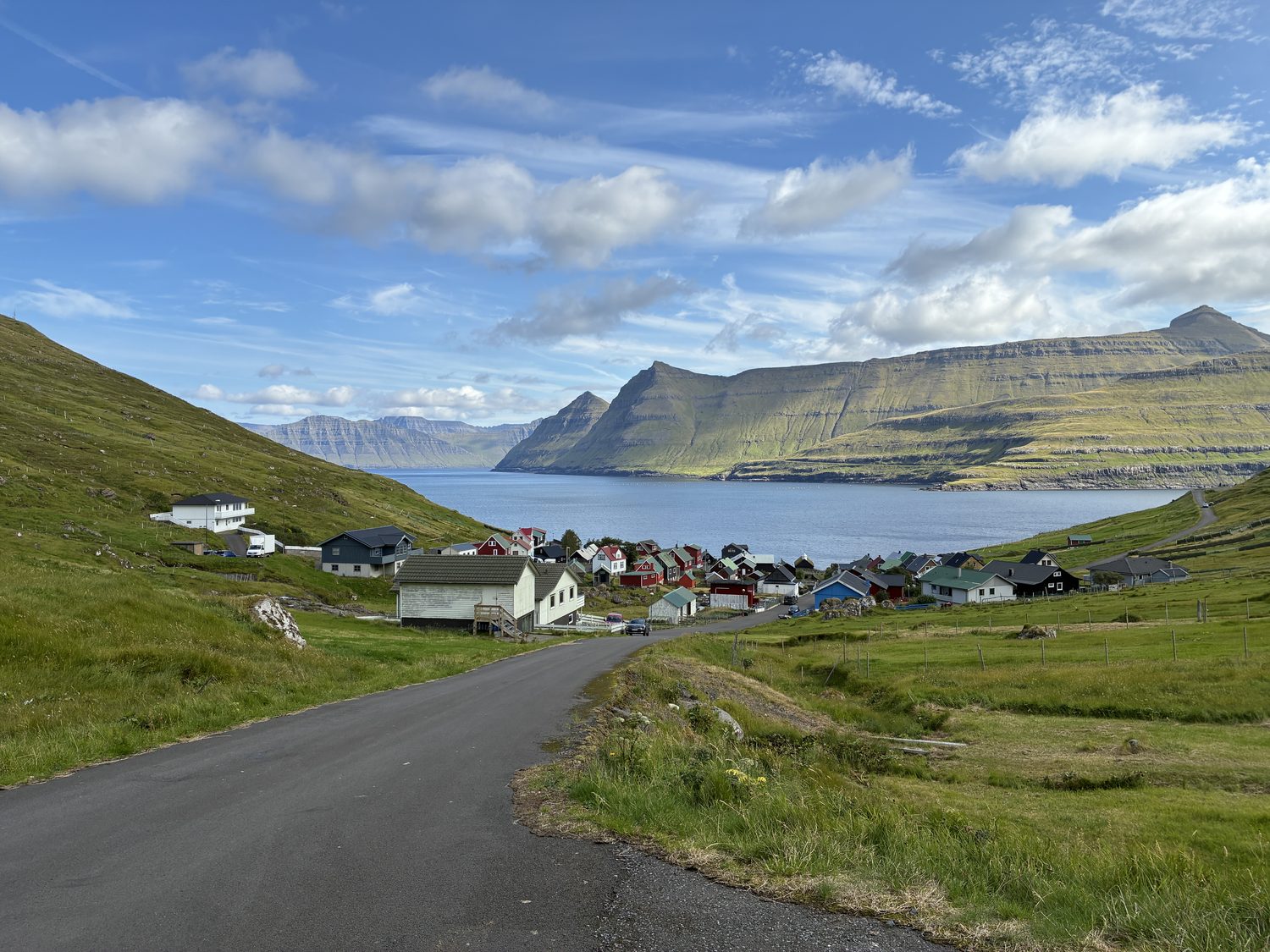
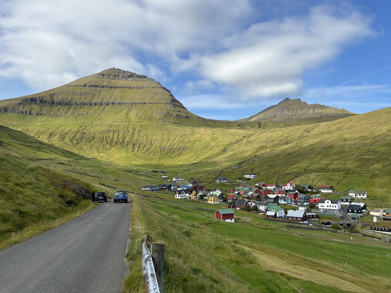
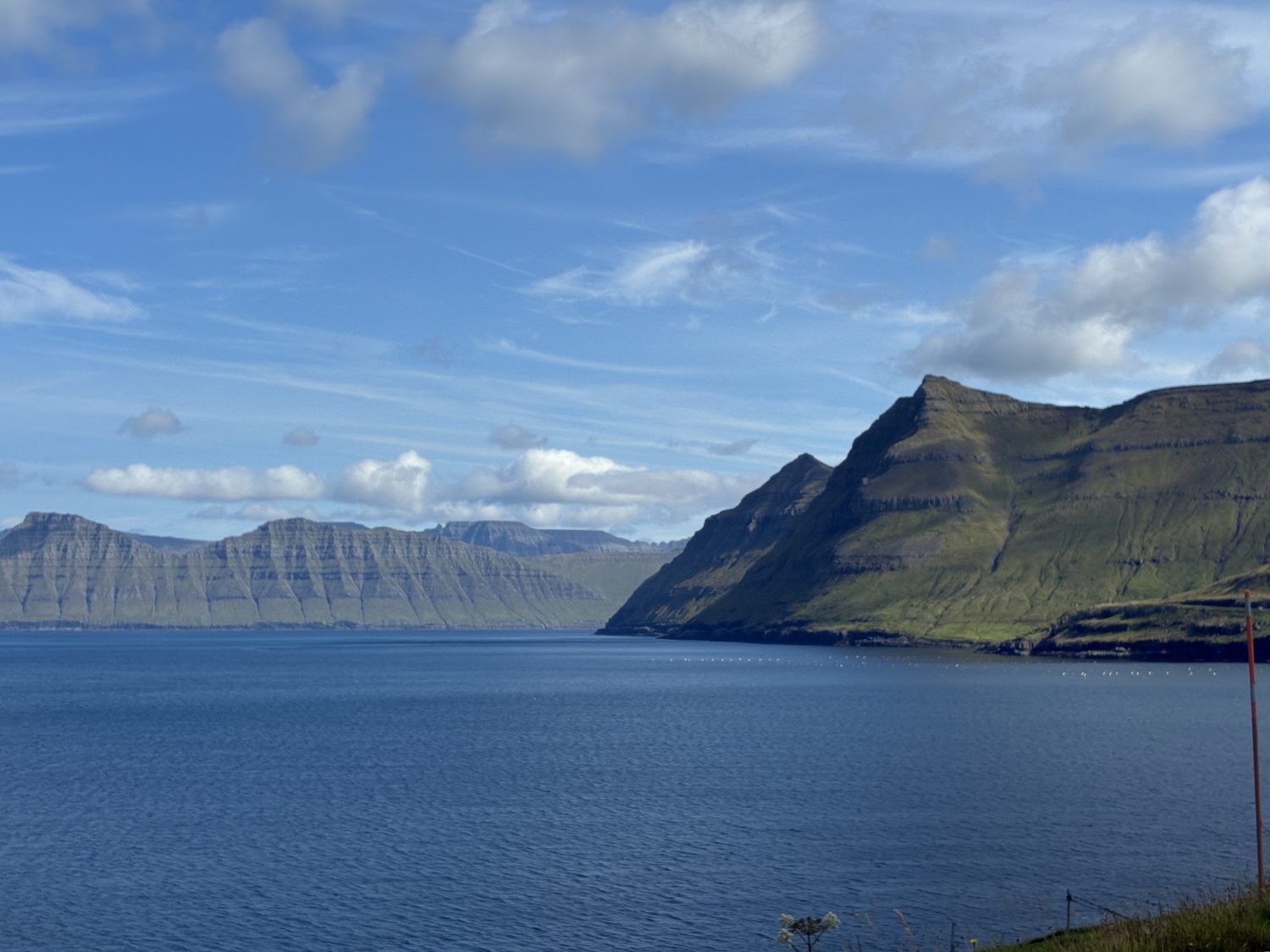
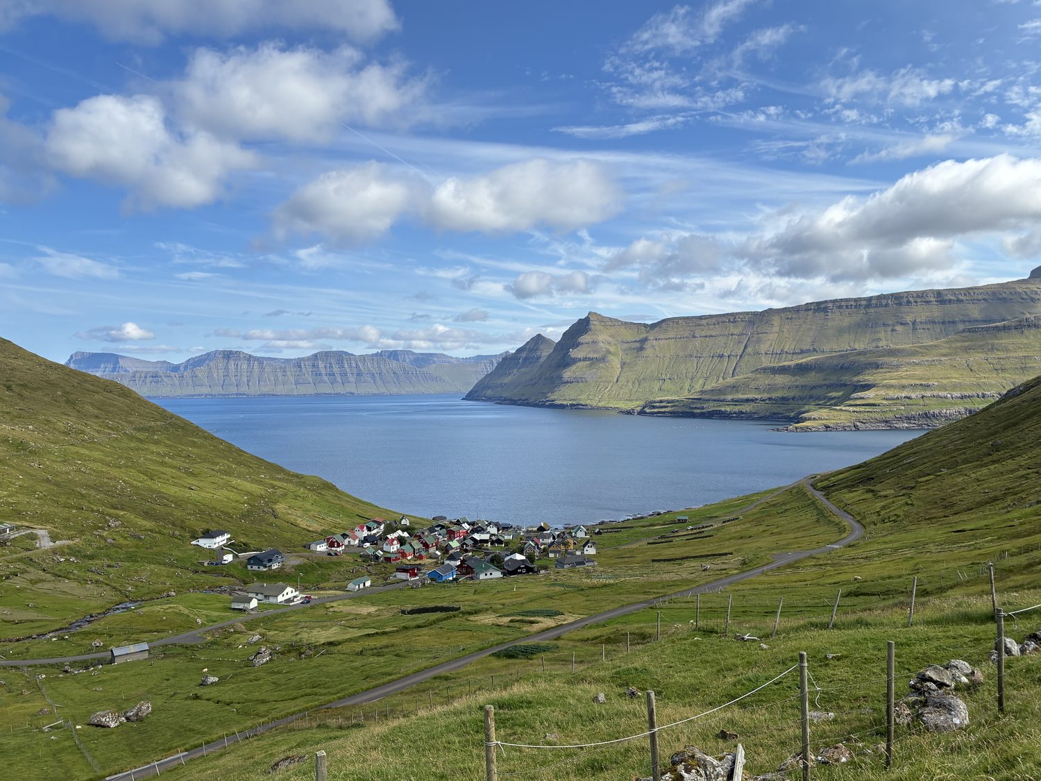
Passing through the village, we continued our drive north into the steep mountains above the village and the fjord it sits on, with the road winding higher and higher, with increasingly magnificent views of the valley and fjord below., It kept getting better and better.
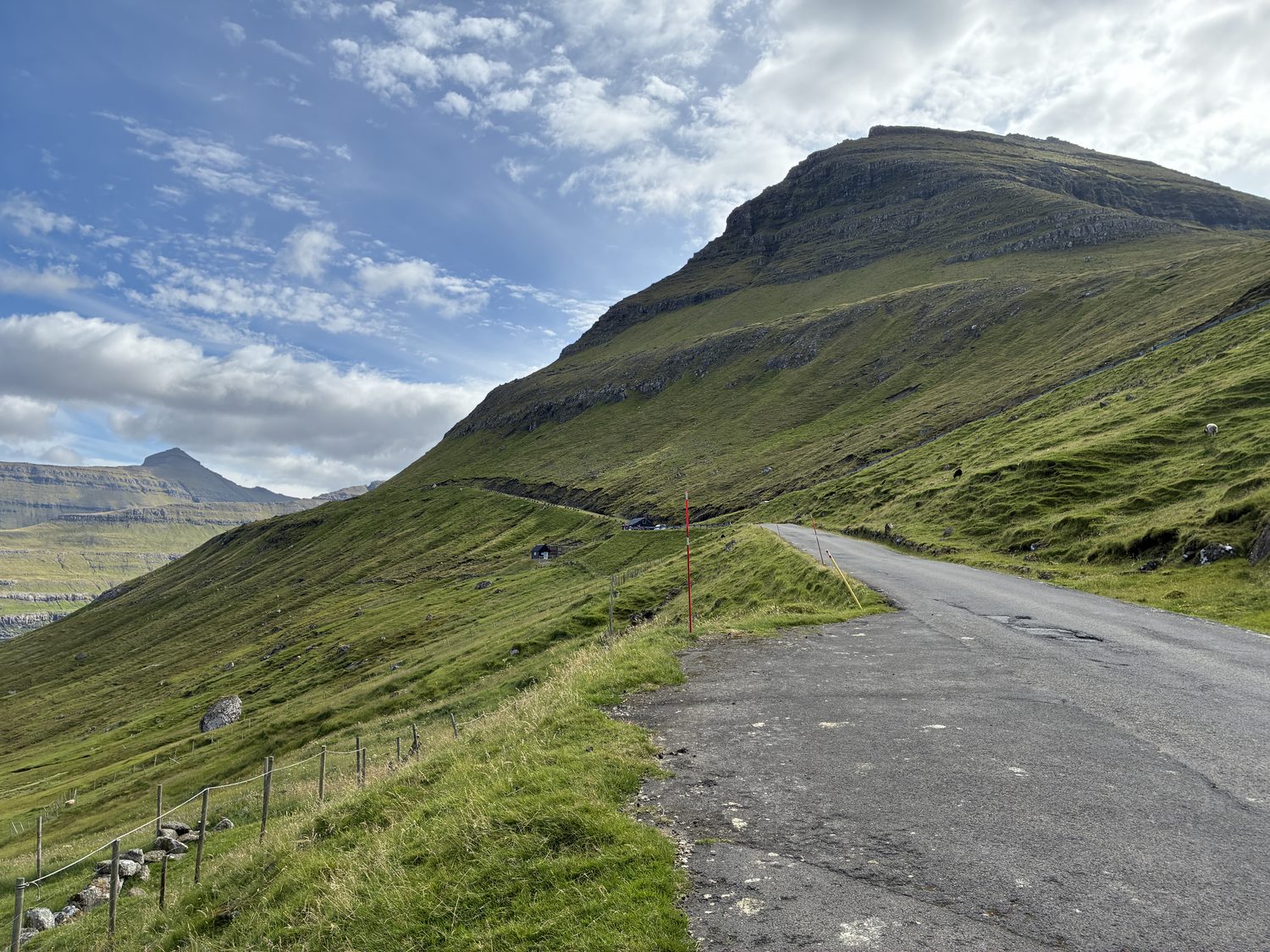
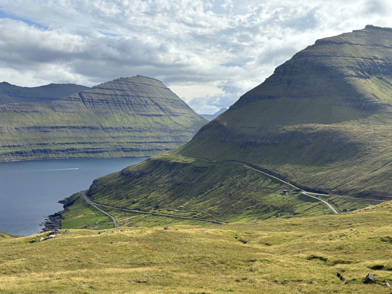
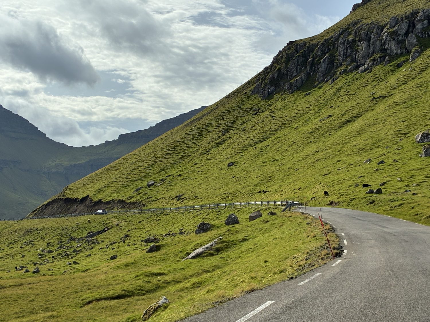
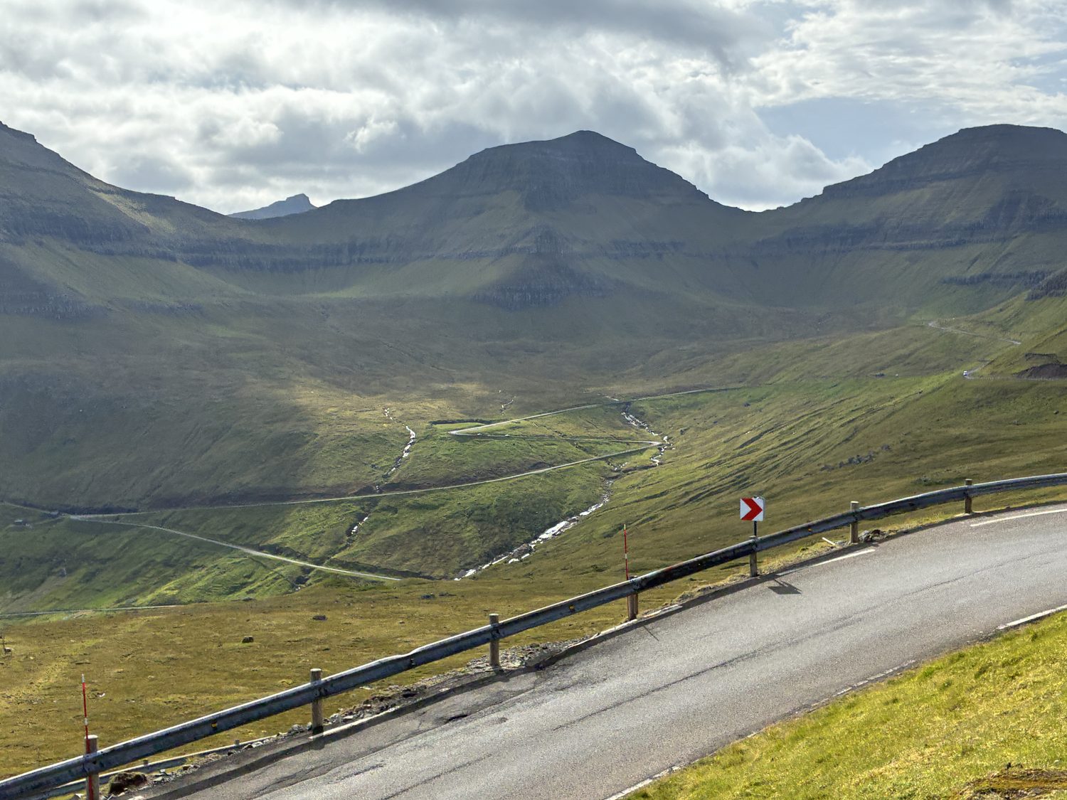
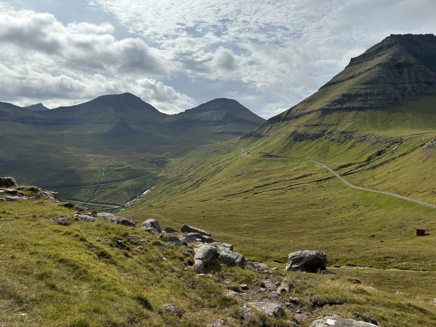
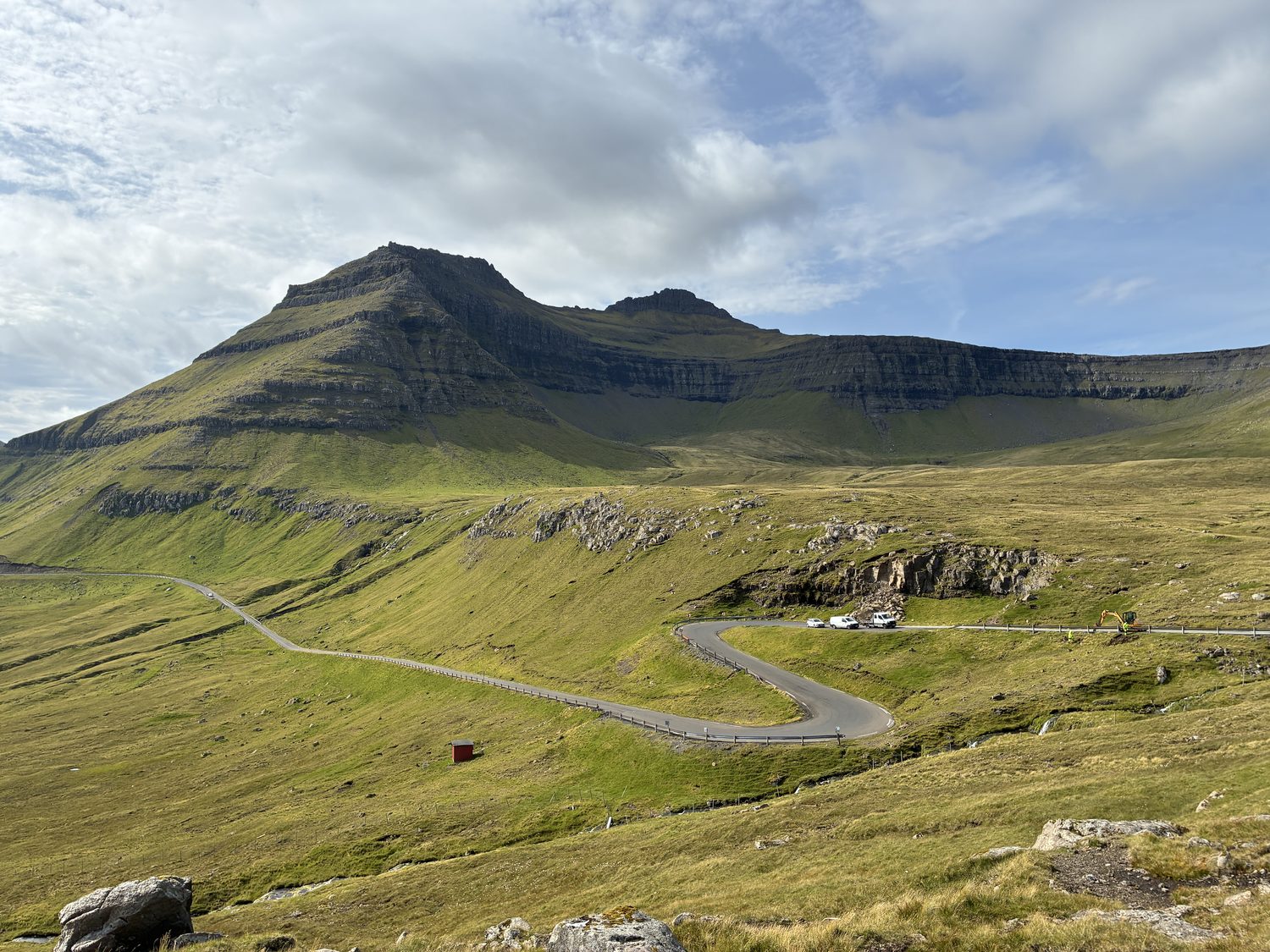
We came to a small parking area for the Gongutrø hiking route, a fairly straightforward hike across the mountain grassland, leading to the Hvíthamar viewpoint in the Gjáarfjall mountains, about 1100 feet above the valley, hills, and Funningur Fjord below. It was fabulous, and got even more fabulous, as I continued to take the fairly stiff hike up to the rocky prominence about 400 feet higher up the mountain, where spectacular views awaited me (as I knew they would).
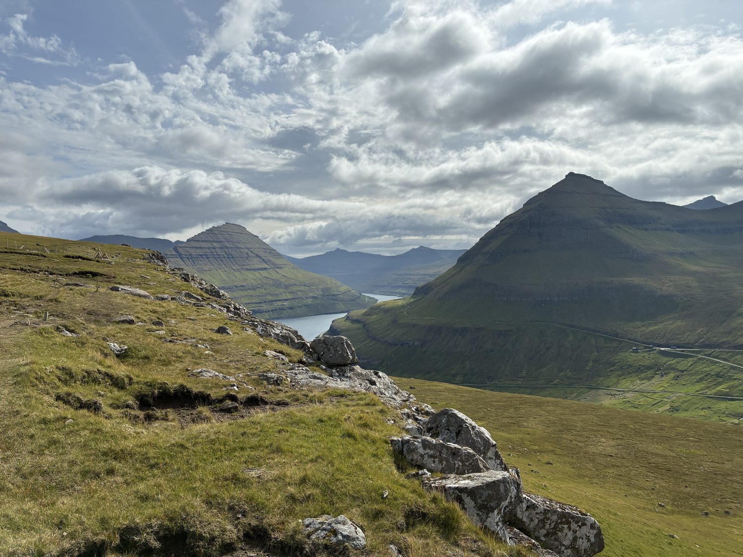
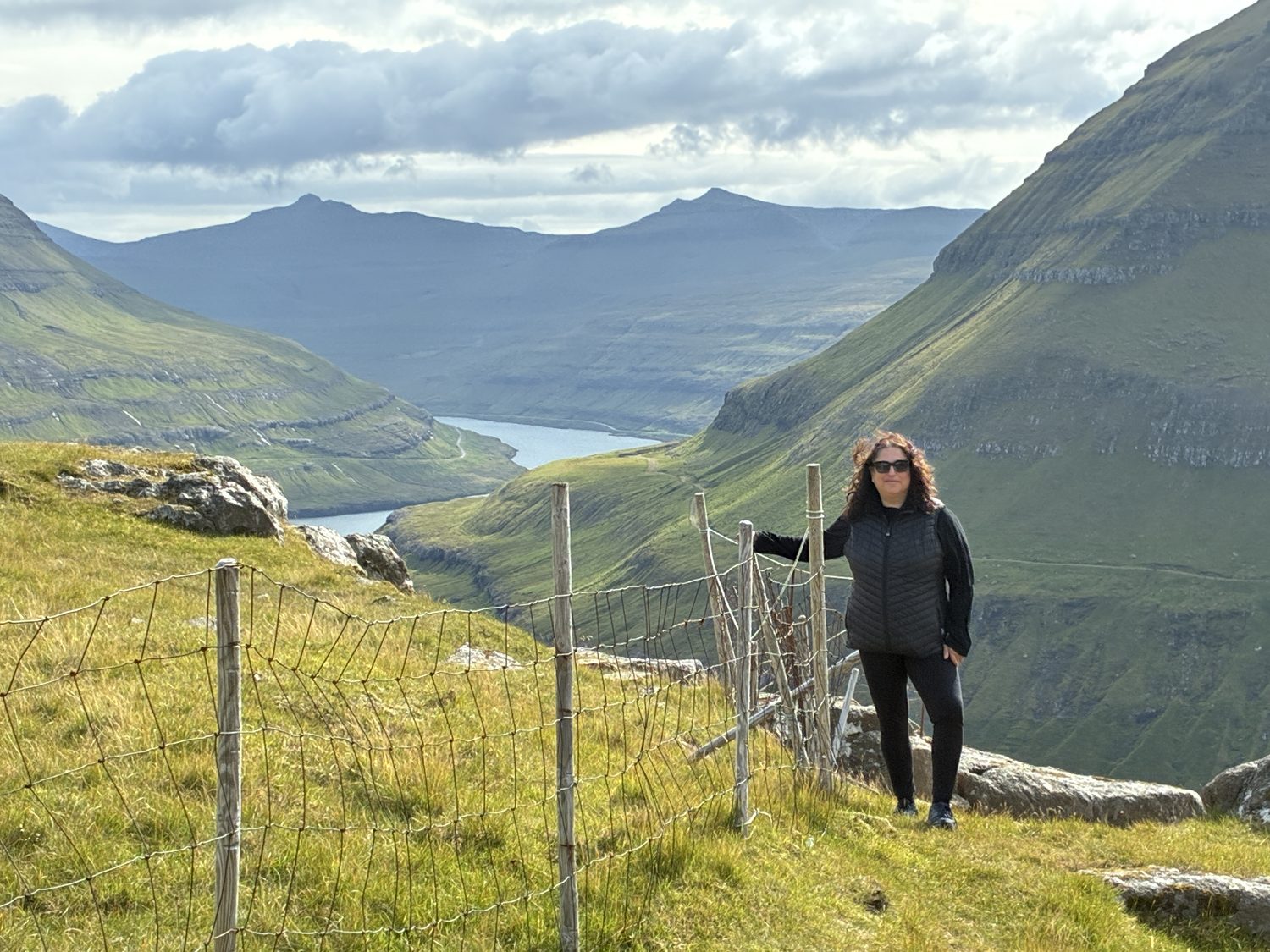
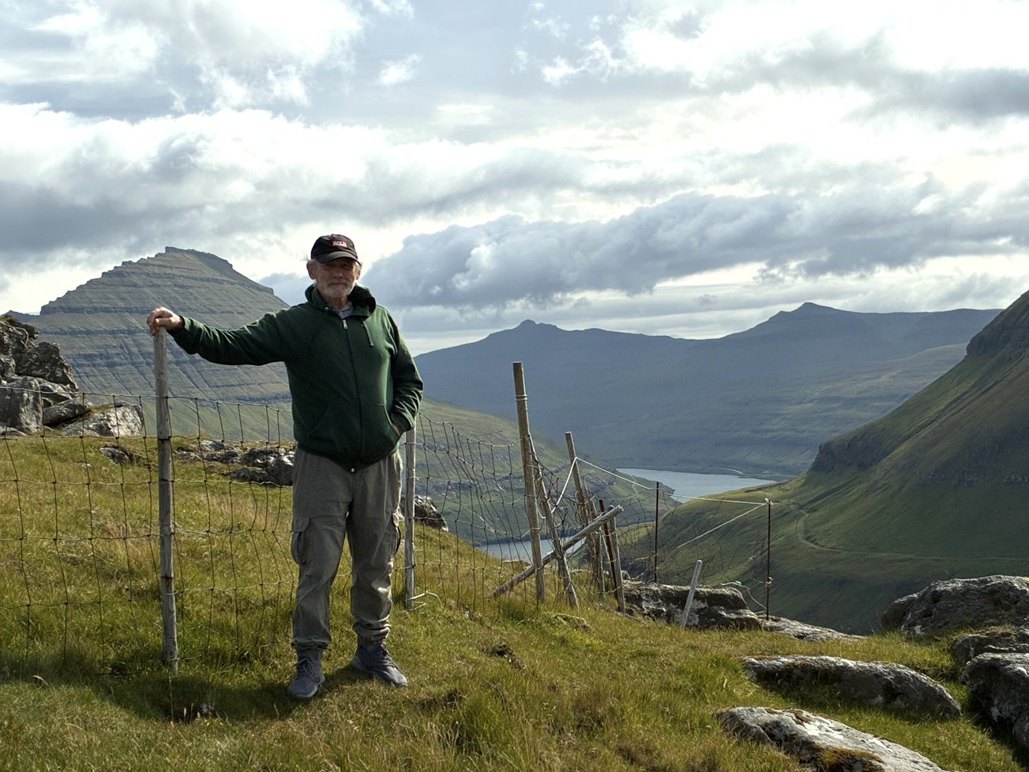
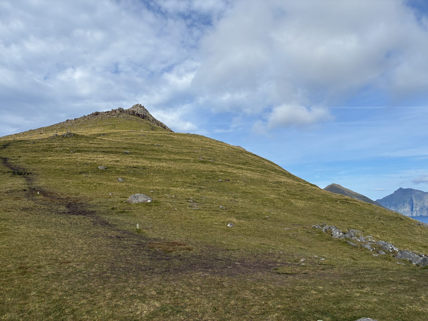
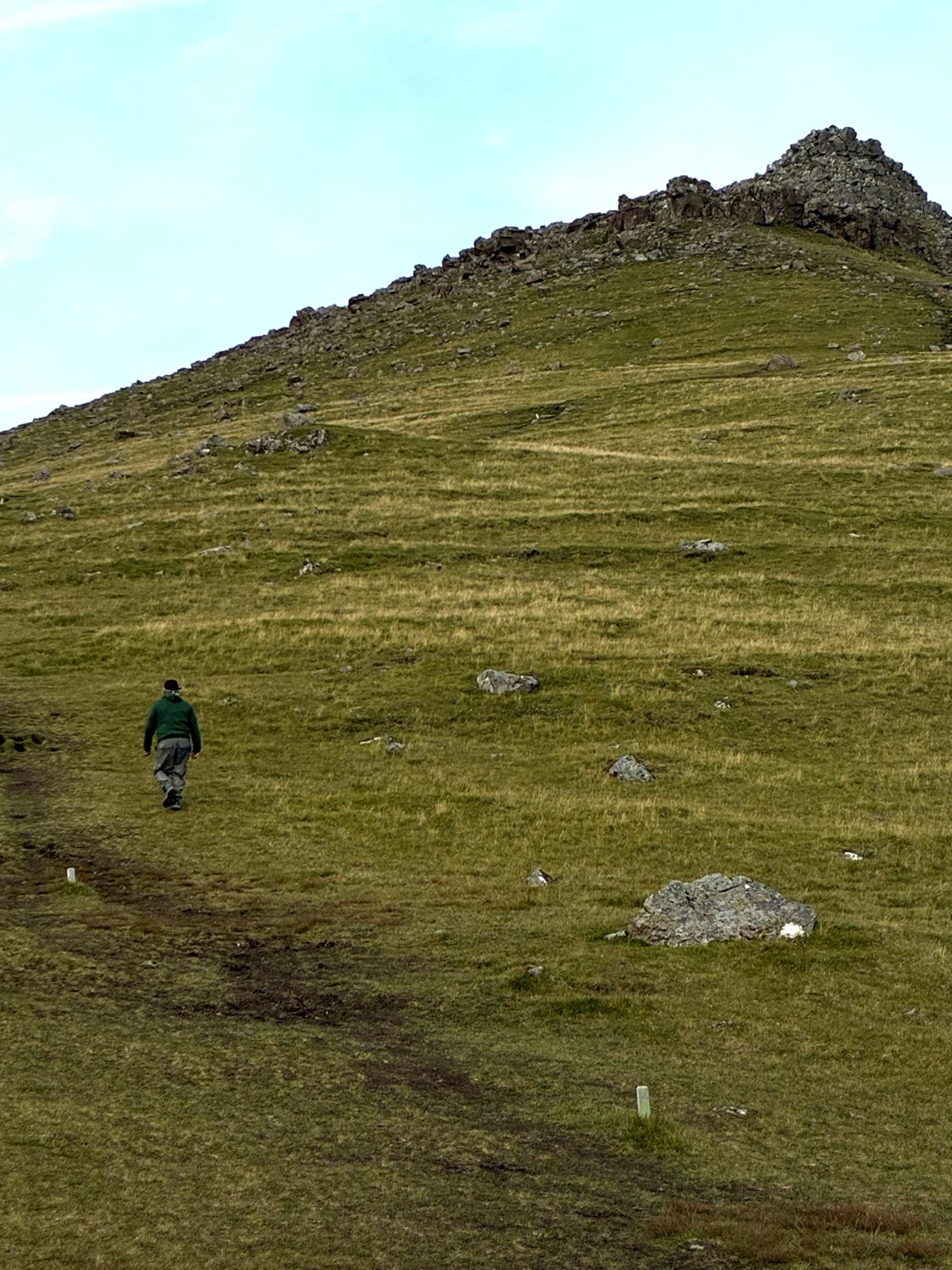
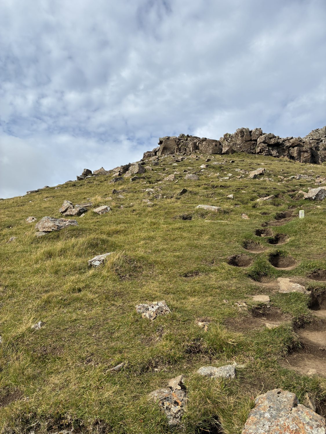
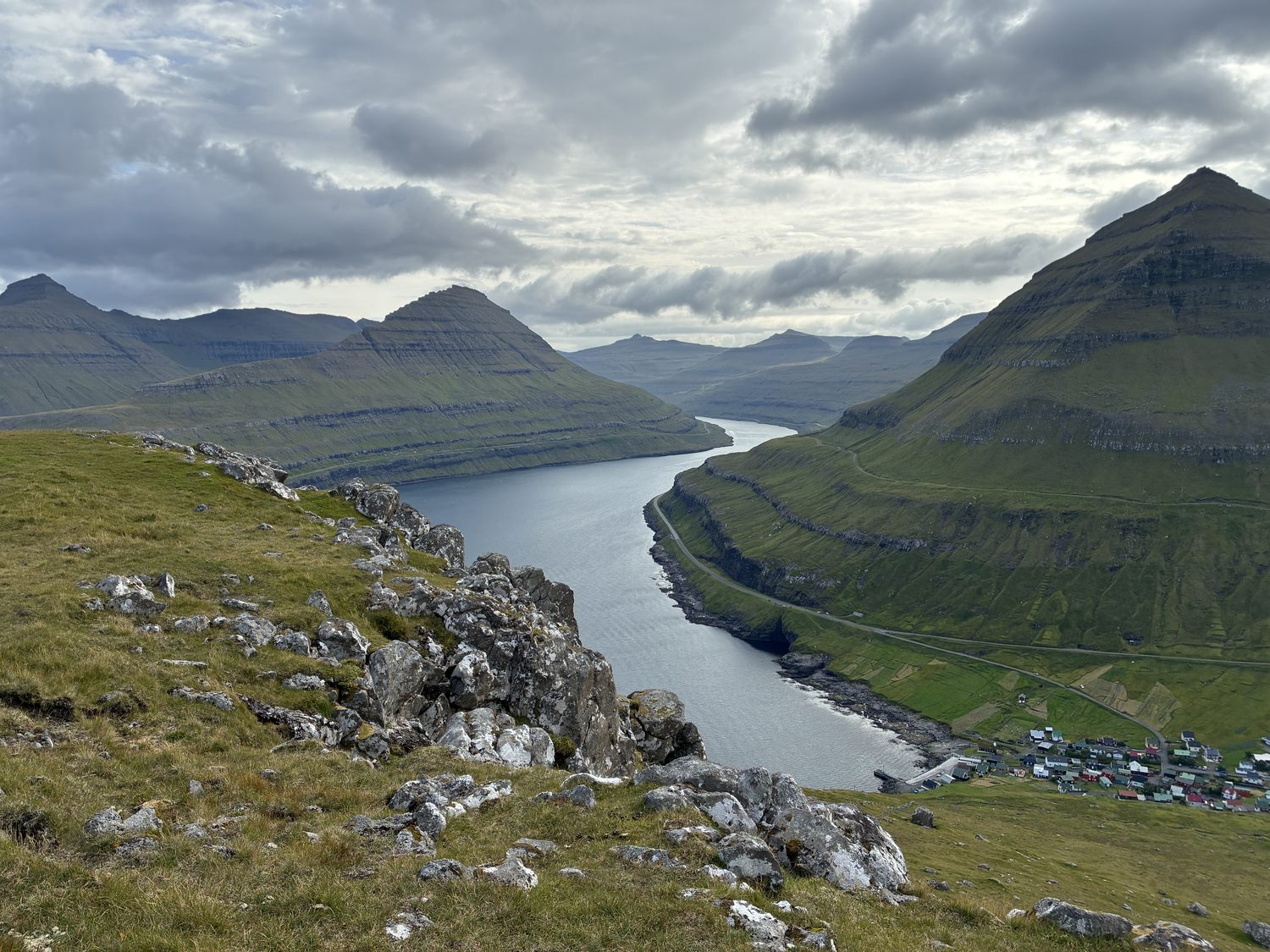
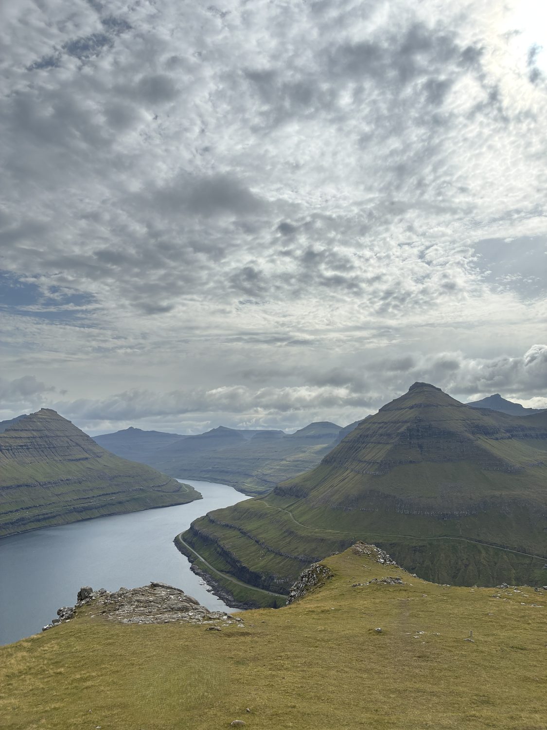
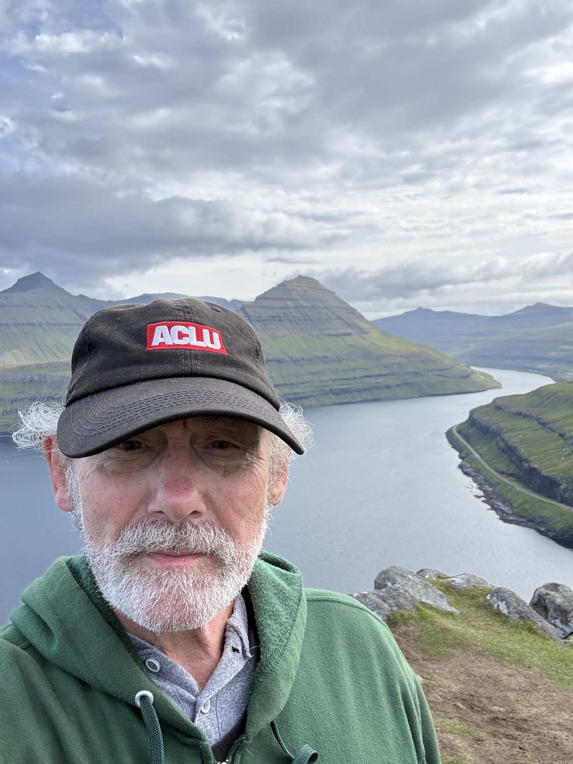
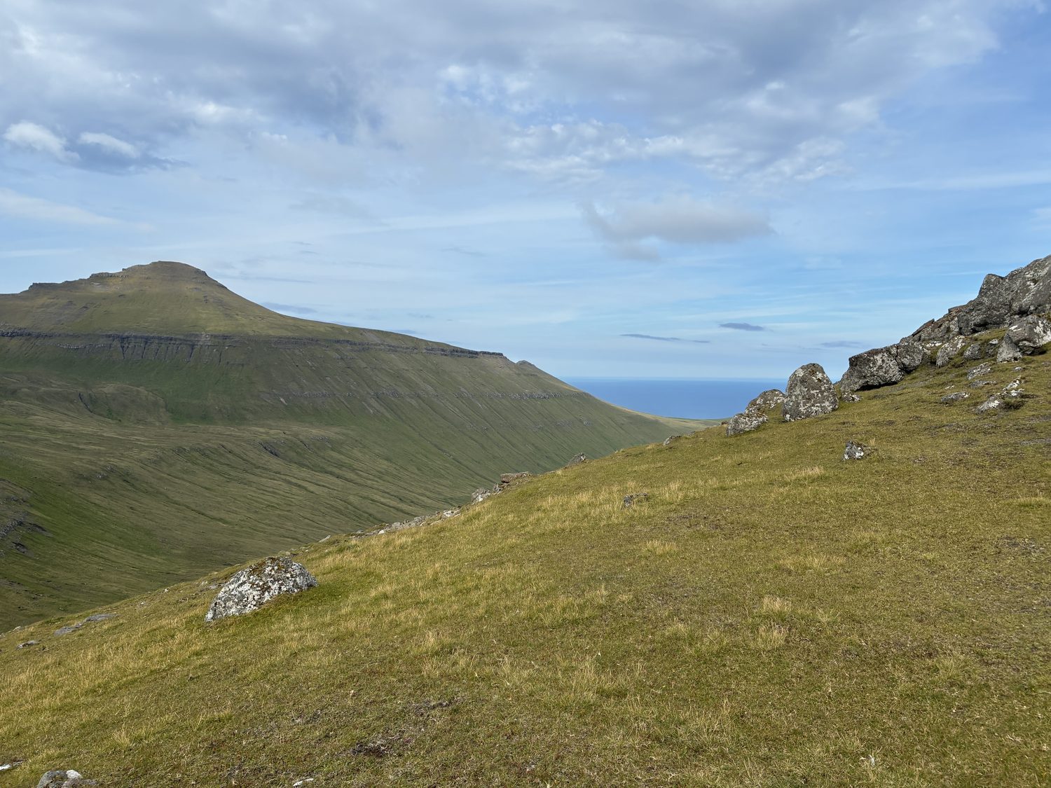
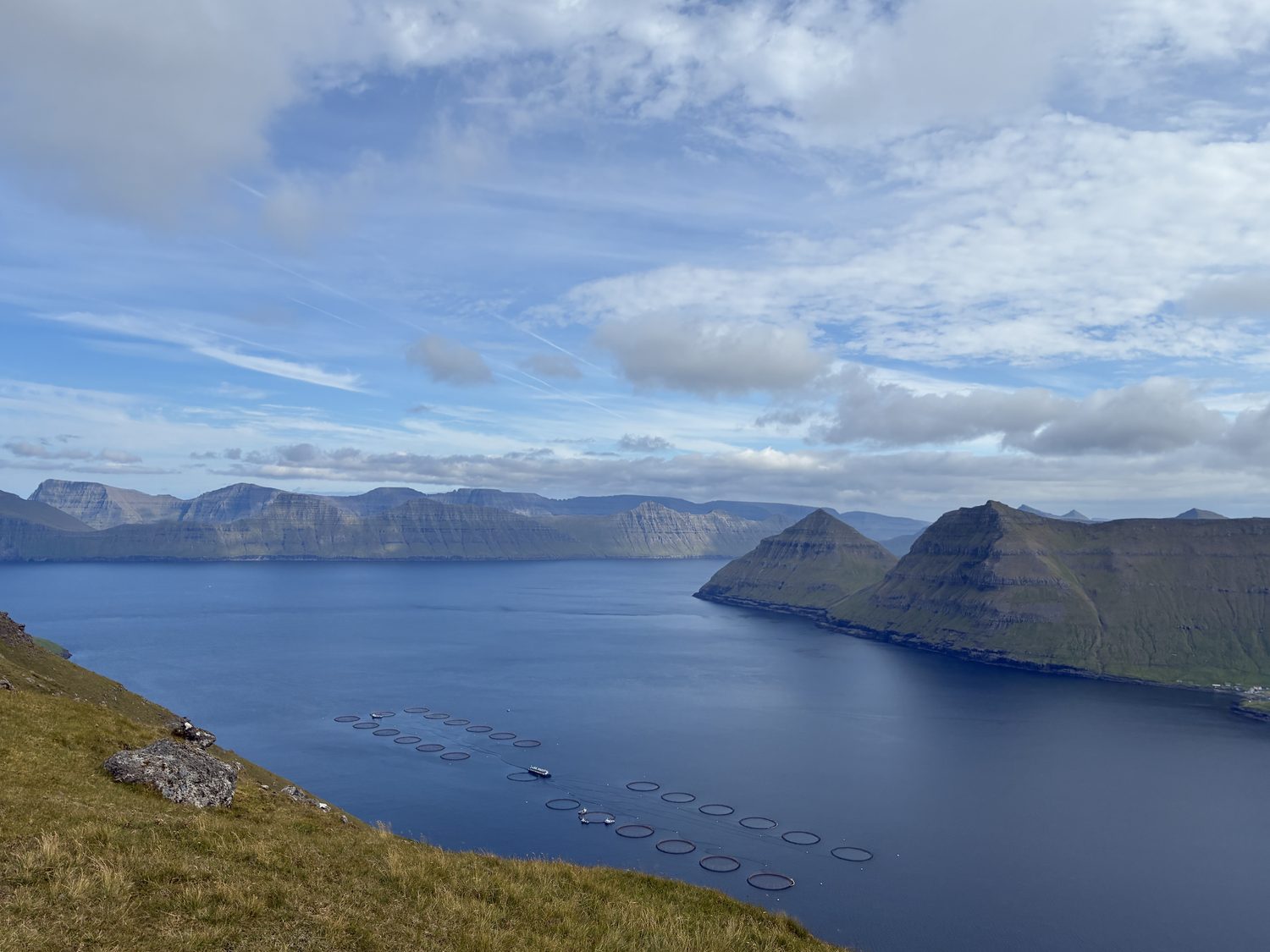

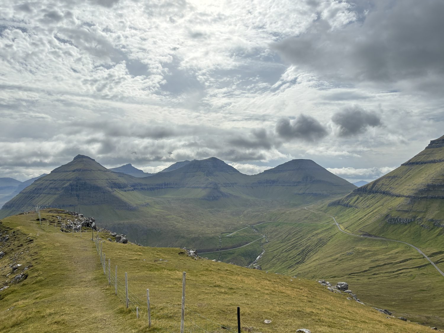
That was great! The weather was equally as good, although windy (as it should be) atop the mountain, and we were both enjoying where we were, happy to be wrong about what we thought would be a repeat of yesterday on Streymoy. Sometimes it’s good to be wrong.
We continued driving north, toward Gjógv, an even smaller and very picturesque village at the northeastern tip of Eysturoy, again taking a single track road for about 7 miles into the village. The village name means gorge or sea gorge, as it sits on a gorge that cuts into the land and leads to a natural harbor sheltered by the Slættaratindur mountains, the highest mountains on the Faroes, and opens into the North Atlantic. Dare I say wow again?
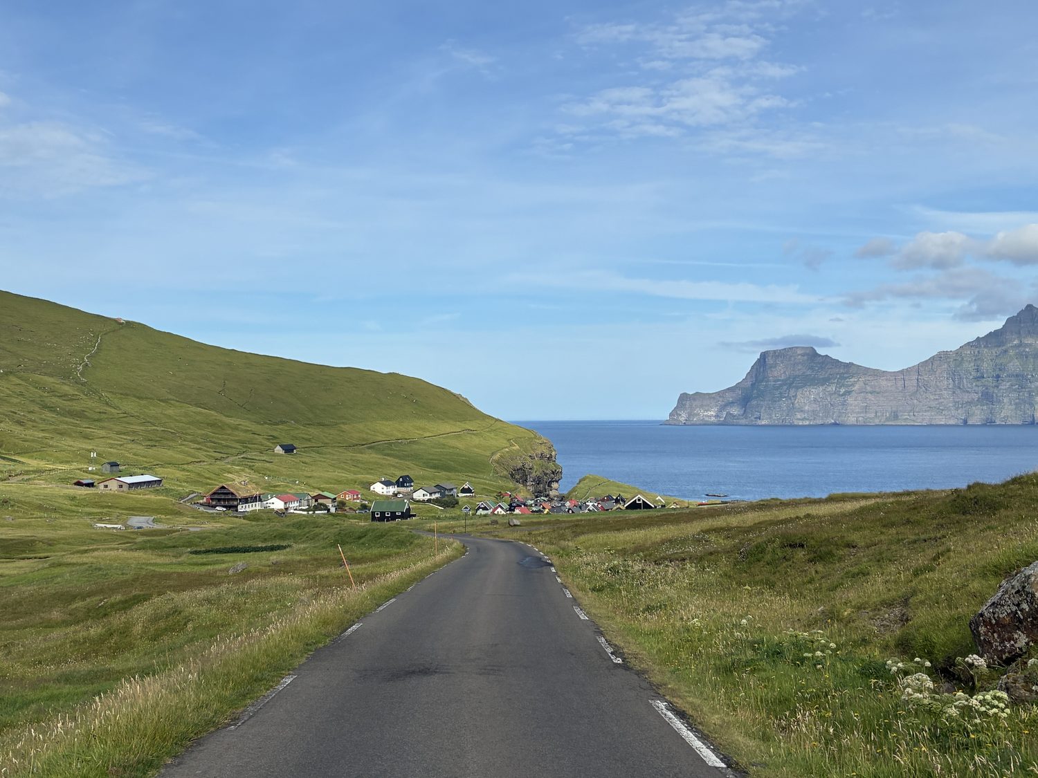
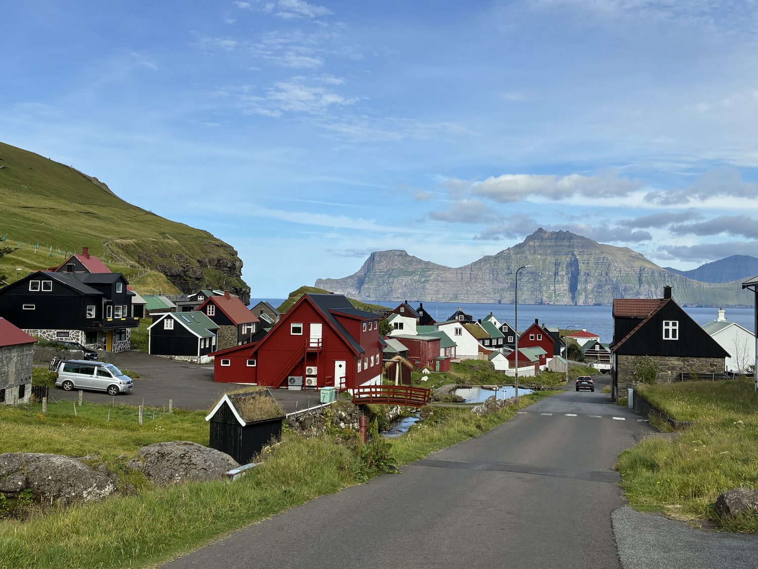
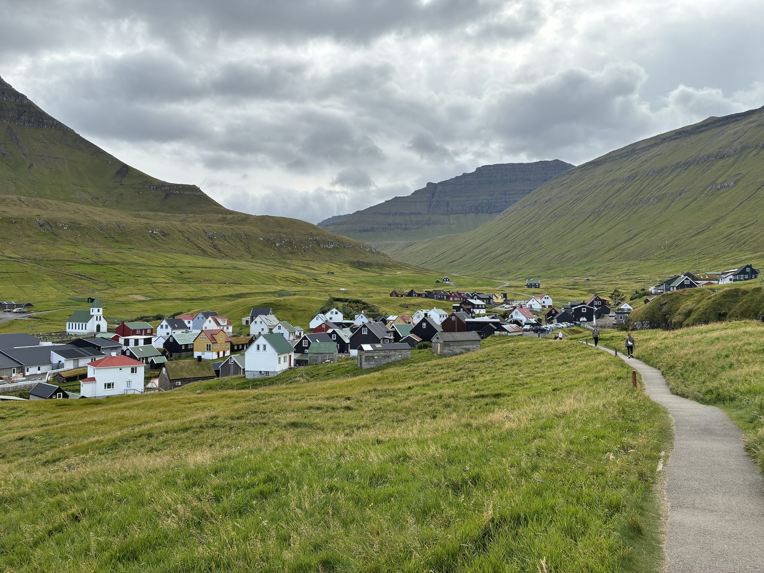
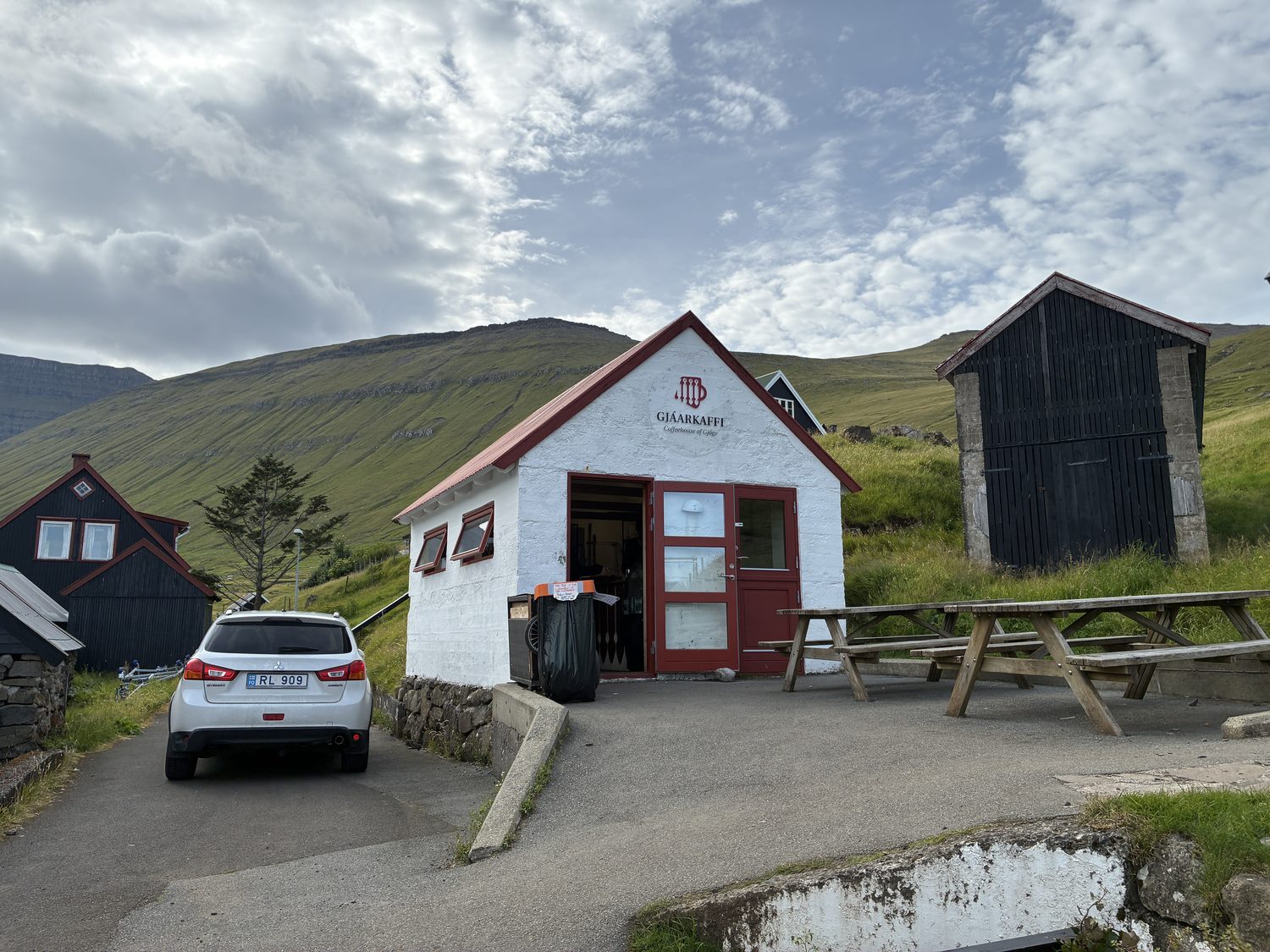
Despite its size, there is a hotel in the small village, the Gjáargarður Guesthouse, its main draw being its location. Here we hoped we could get something to eat, but alas no. As Elana got some coffee from a small coffee shop (really, more like a coffee hut) in the village, itself a rarity, we were treated to some local history by the young guy working there who spoke great English), and particularly about the prohibition, not of alcohol, but the sale and serving of alcohol from 1908 to 1992, which directly affected the restaurant business in the Faoes. Even after the prohibition ended, the restaurant business rebounded only gradually, and the result is a lack of a restuarant culture on the islands, with eateries few and far between, mostly found in more populated areas and the larger towns, as well in some of the small villages (like Gjógv, where we are today, but even that’s closed this afternoon, and we haven’t found any in the other villages we’ve visited so far). The guy running the coffee shop said people mostly eat at home.
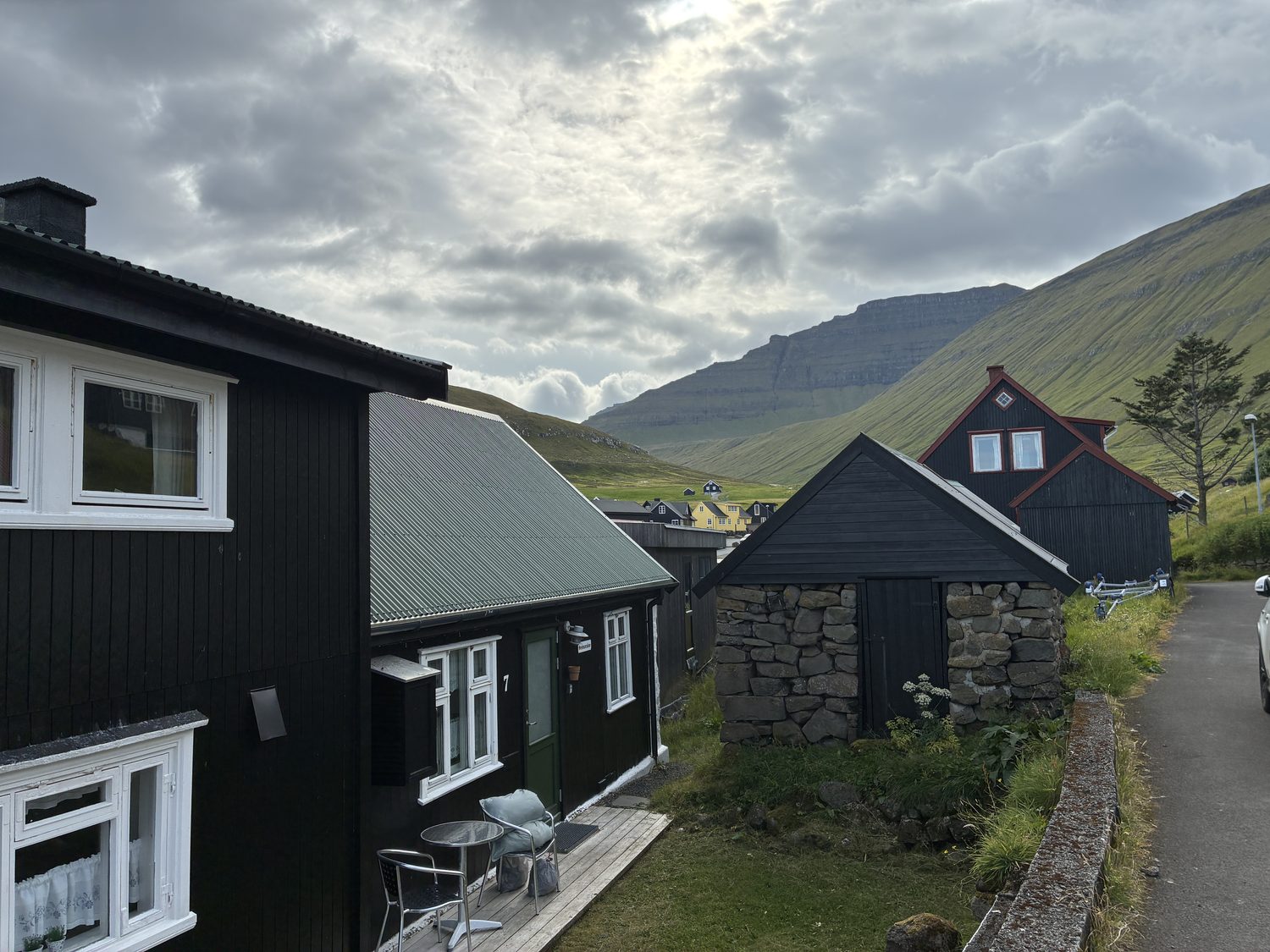
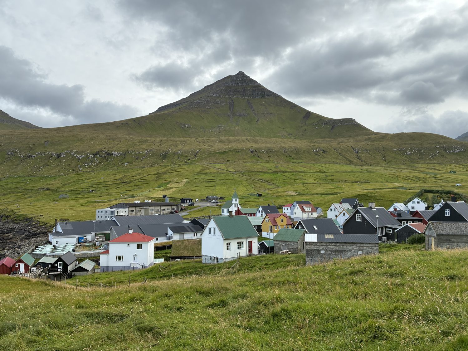
At any rate, grumbling stomachs aside, the village was lovely and the gorge amazing, with views of the vast and desolate North Atlantic from where the gorge flows into it.
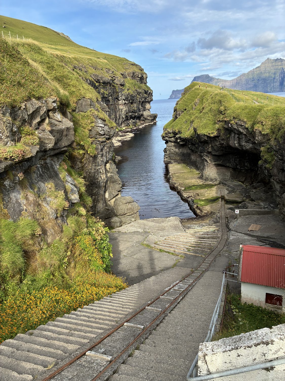
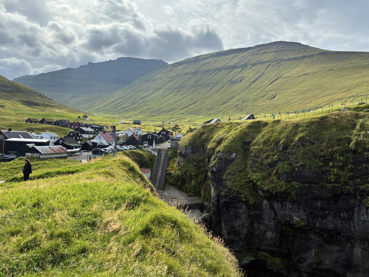
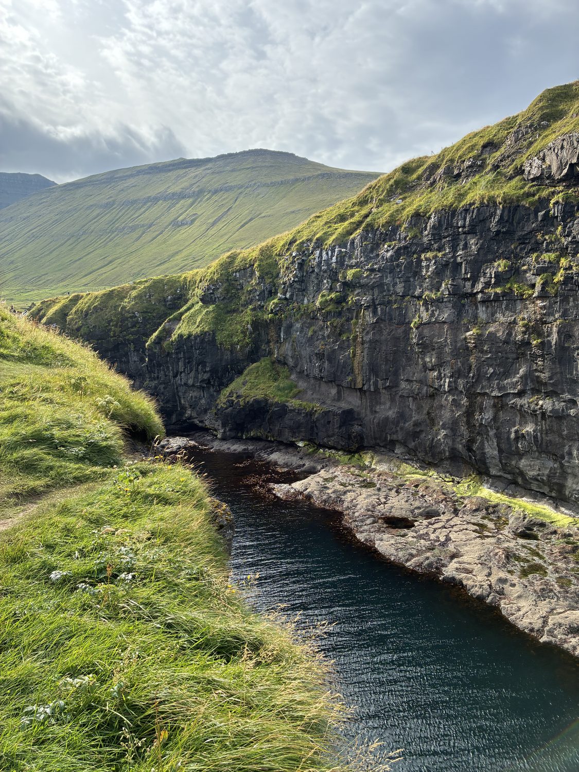
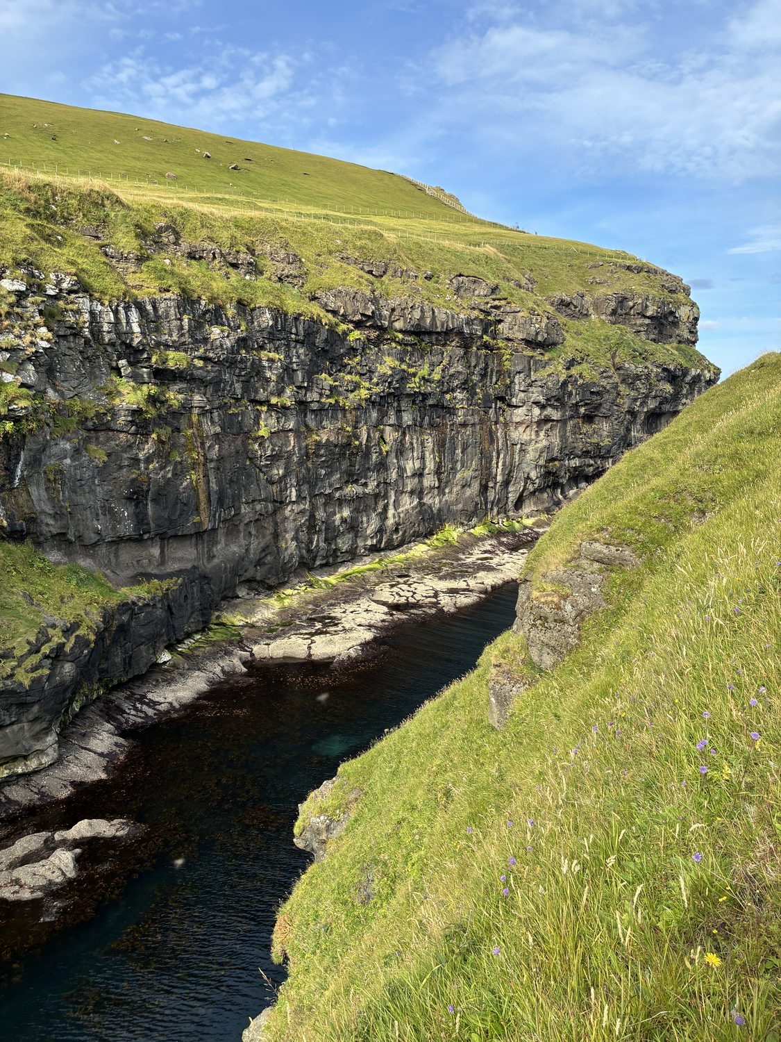
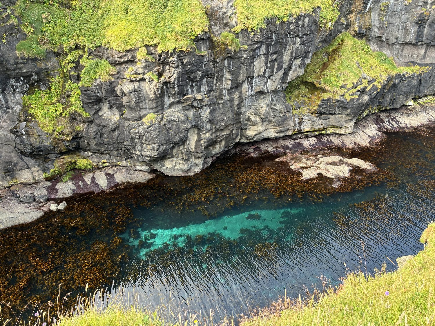
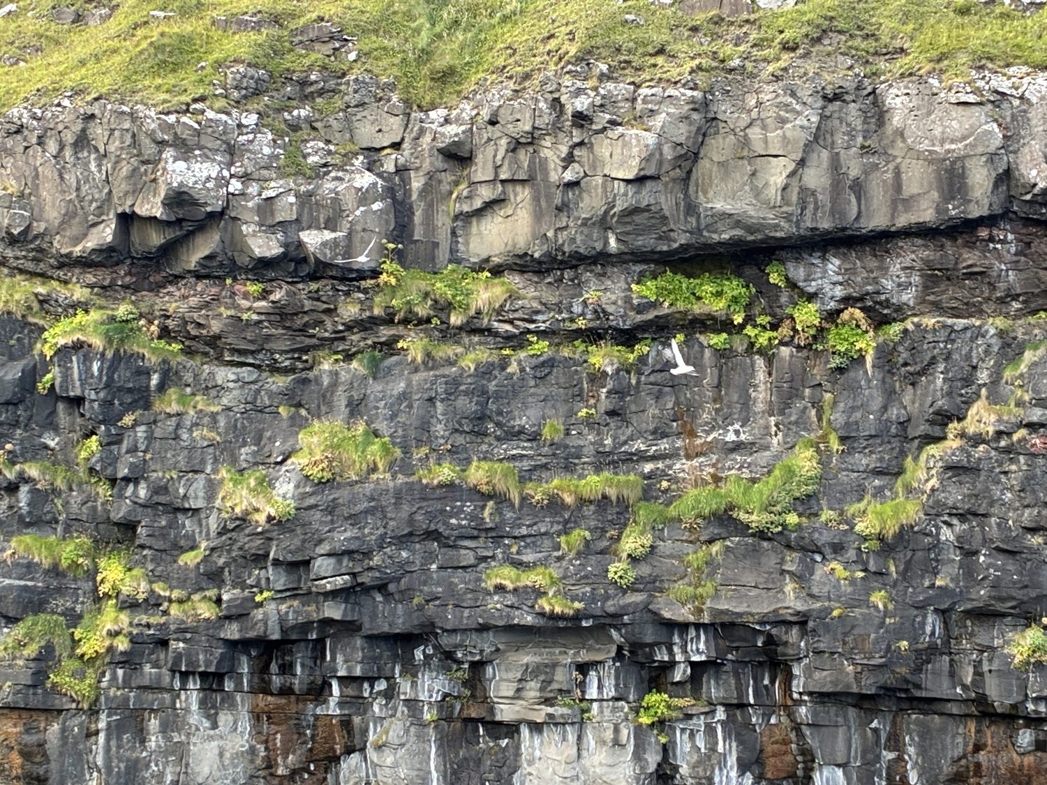
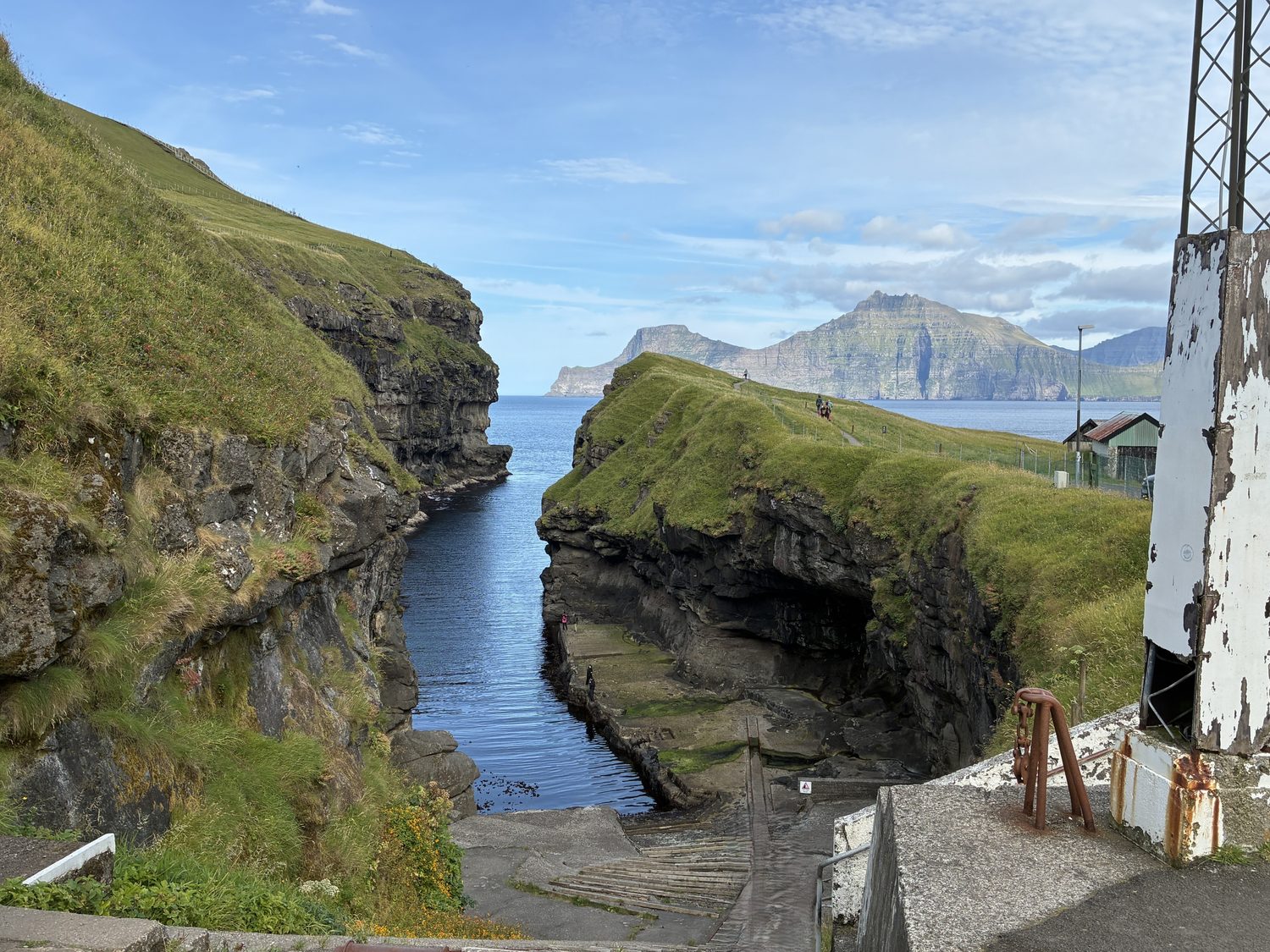

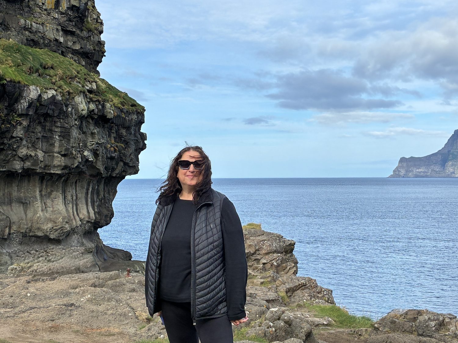
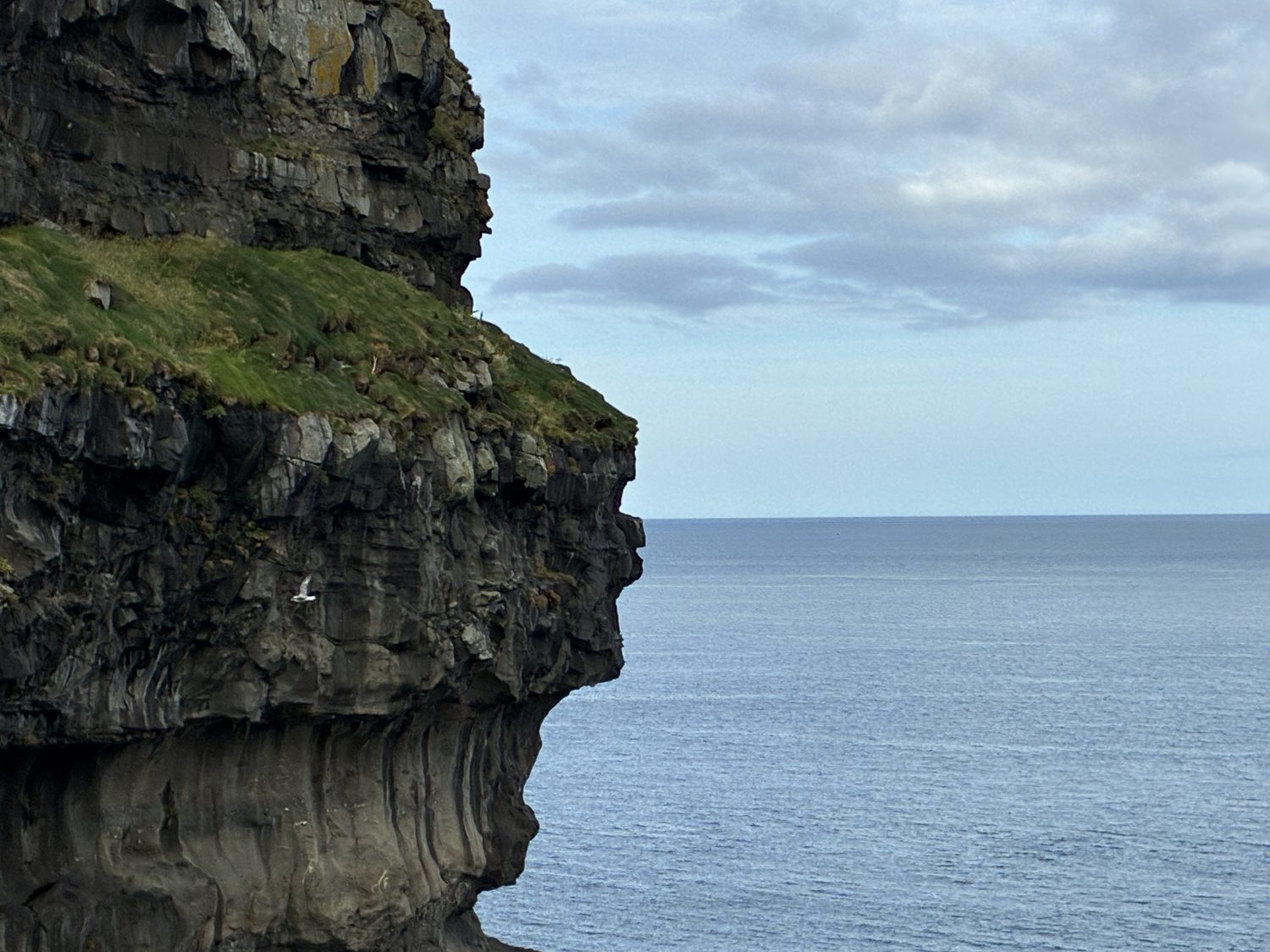
After leaving Gjógv, we backtracked on the single lane road to near Funnigar where we picked up yet another narrow road to the lovely small village of Eiði, about 30 minutes, but only 9 miles, west, sitting at the northwest tip of the island, on the Eiði Fjord, again opening to the North Atlantic.
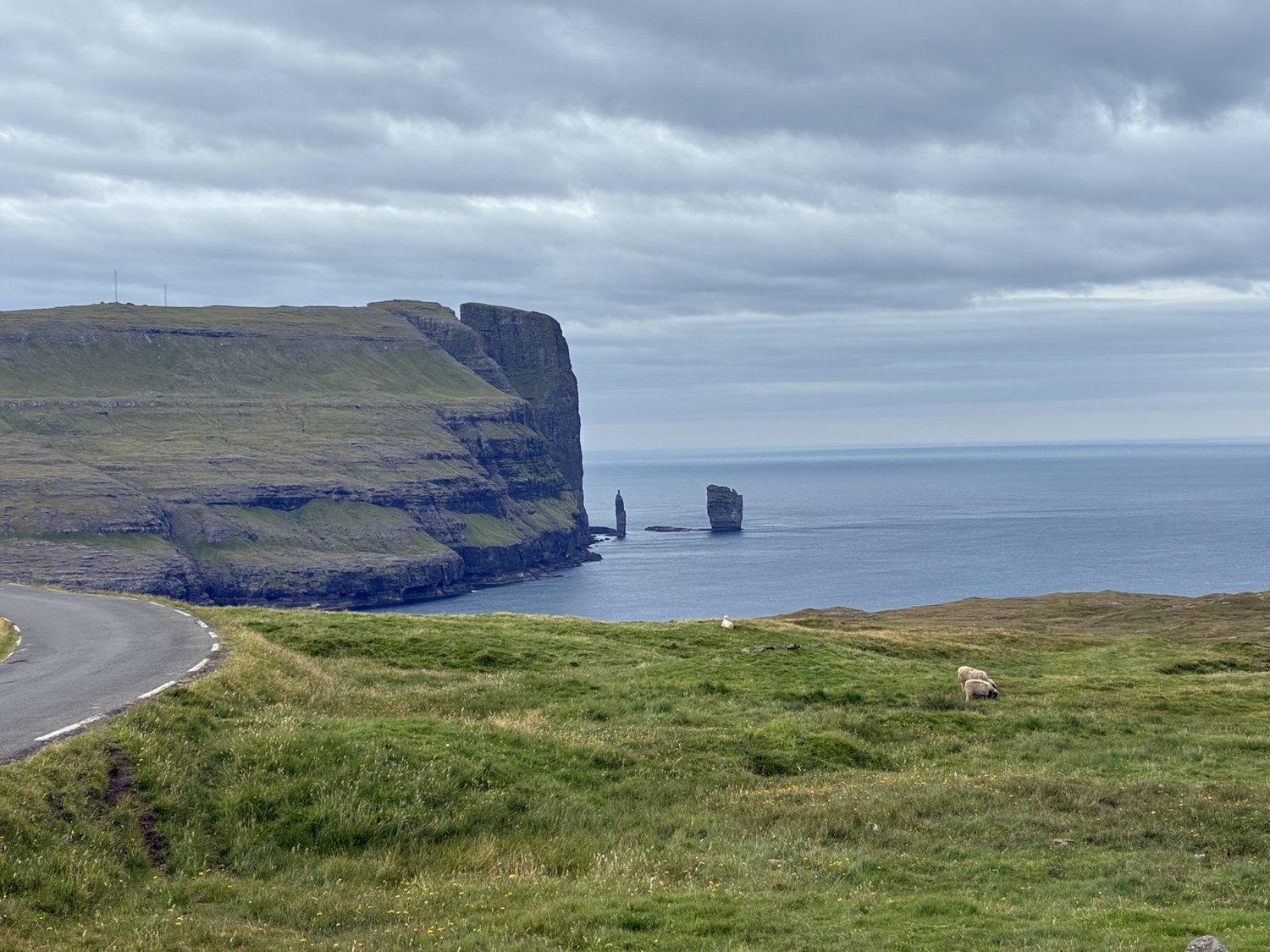
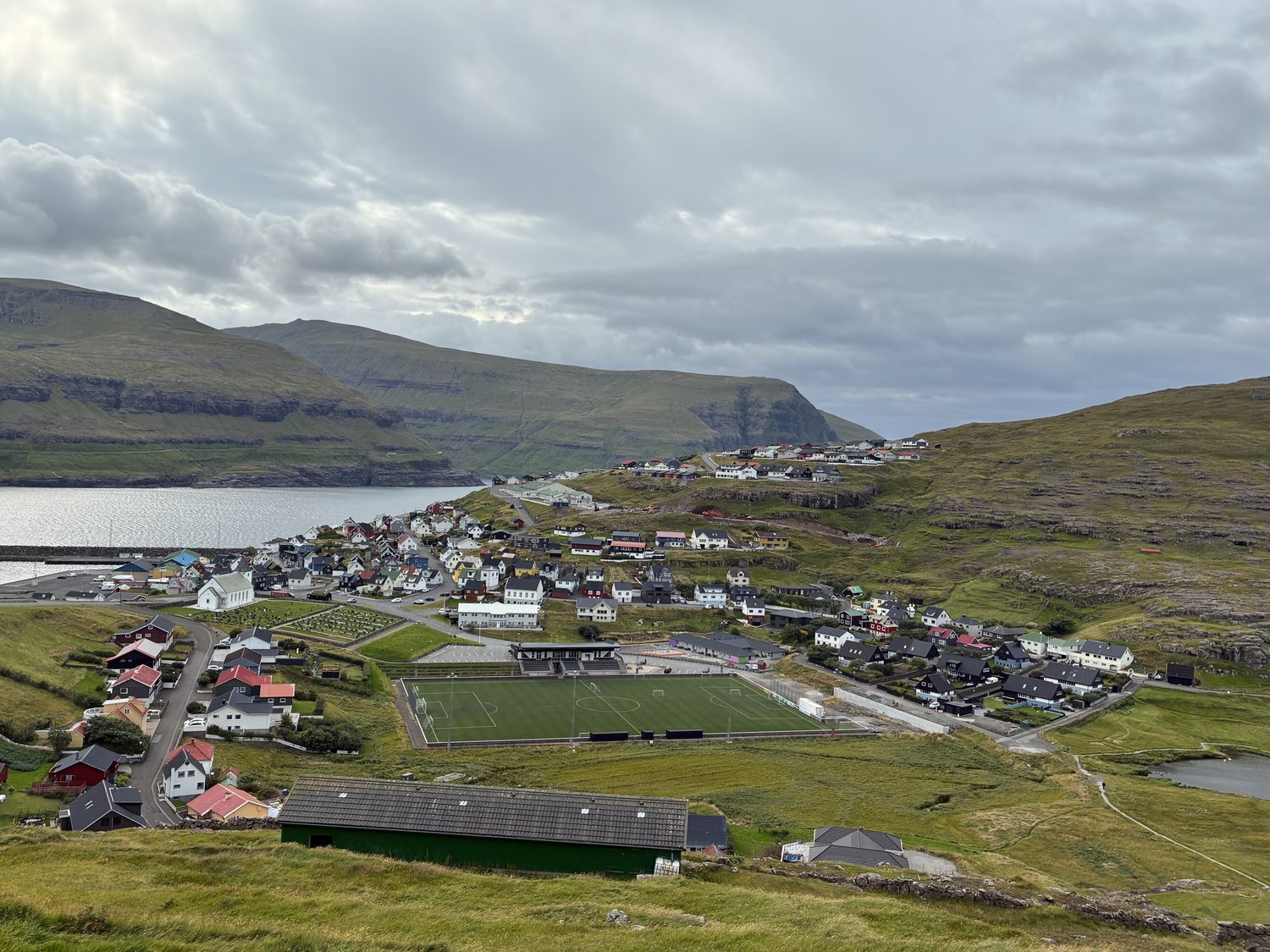
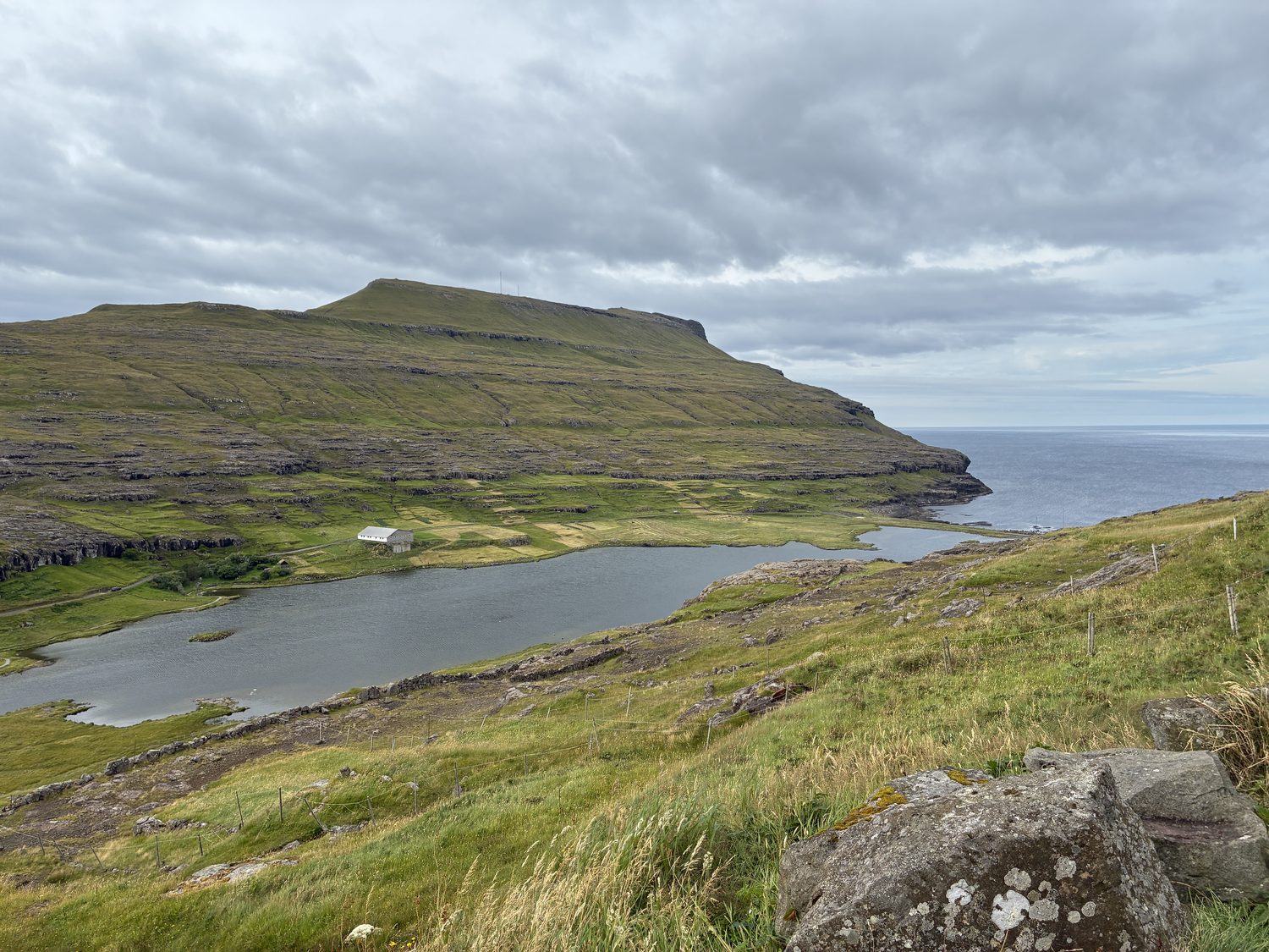
About 5:30 now, still with excellent weather, we headed back to Torshavn on Streymoy, about an hour south, this time taking the Streymin Bridge, not only free but a much lovelier drive. We hit the supermarket to grab some dinner, and got a frozen pizza (never do that again; maybe the worst frozen pizza I’ve ever eaten), and went home, and planned (sort of) our day tomorrow.
We booked tickets for the 2:30 the boat tour out of Vestmanna tomorrow. Not cheap, like most of the things here in the Faroes. Everything here has cost significantly more than in Scotland, including our airbnb and car rental, not to mention the $27 one way tunnel toll this morning. Oh well.
To bed, and tomorrow the waters around the island (or at least, around Vestmanna).