Faroe Islands: Streymoy.
The weather was lovely – not particularly warm, but certainly warm enough, getting into the mid-60s I think, and never too cold, with clear skies and no rain. Yay! Who knows what weather tomorrow will bring? Even the Faroes website says the weather can change several times a day, but we were very happy to have nice weather today, and no rain and cold. That would have been okay, and we were expecting it, but far better to not deal with miserable and damp weather.
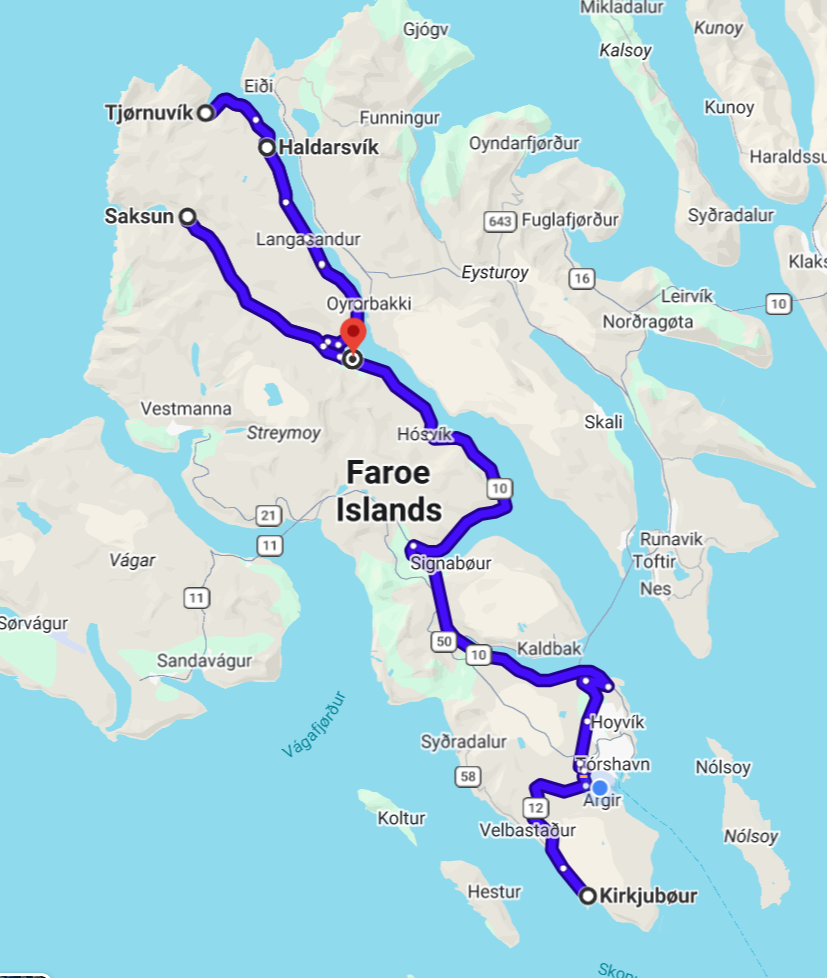
We started out mid-morning, and pretty much followed suggestions given to me by a friend, Nate, who’s been to the Faroes a couple of times, and loves it here, and knows the Islands well. Actually, we started out by just driving around with no particular agenda or destination, and heading south, hugging the southwestern coast as much as possible, passing through and then bypassing Tórshavn, the town where we’re staying, and just following the road south… until we realized we’d gone as far south as the road would take us and around the tip, and we were now heading north along the southeast coastline.
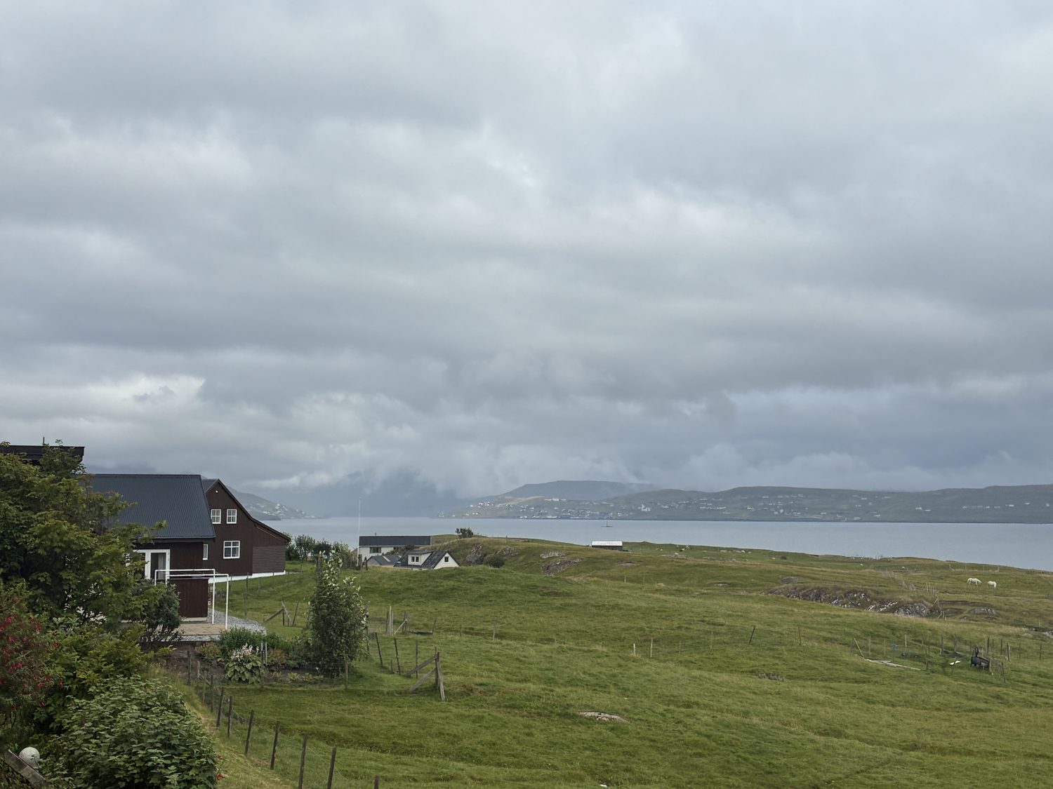
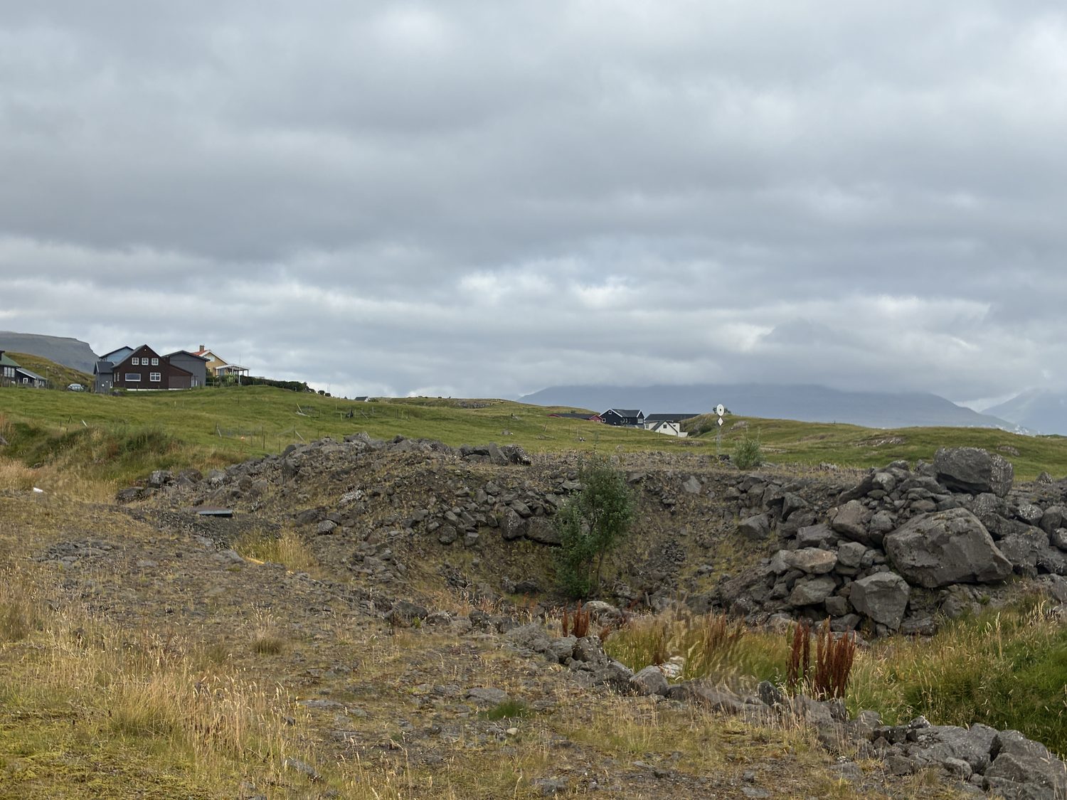
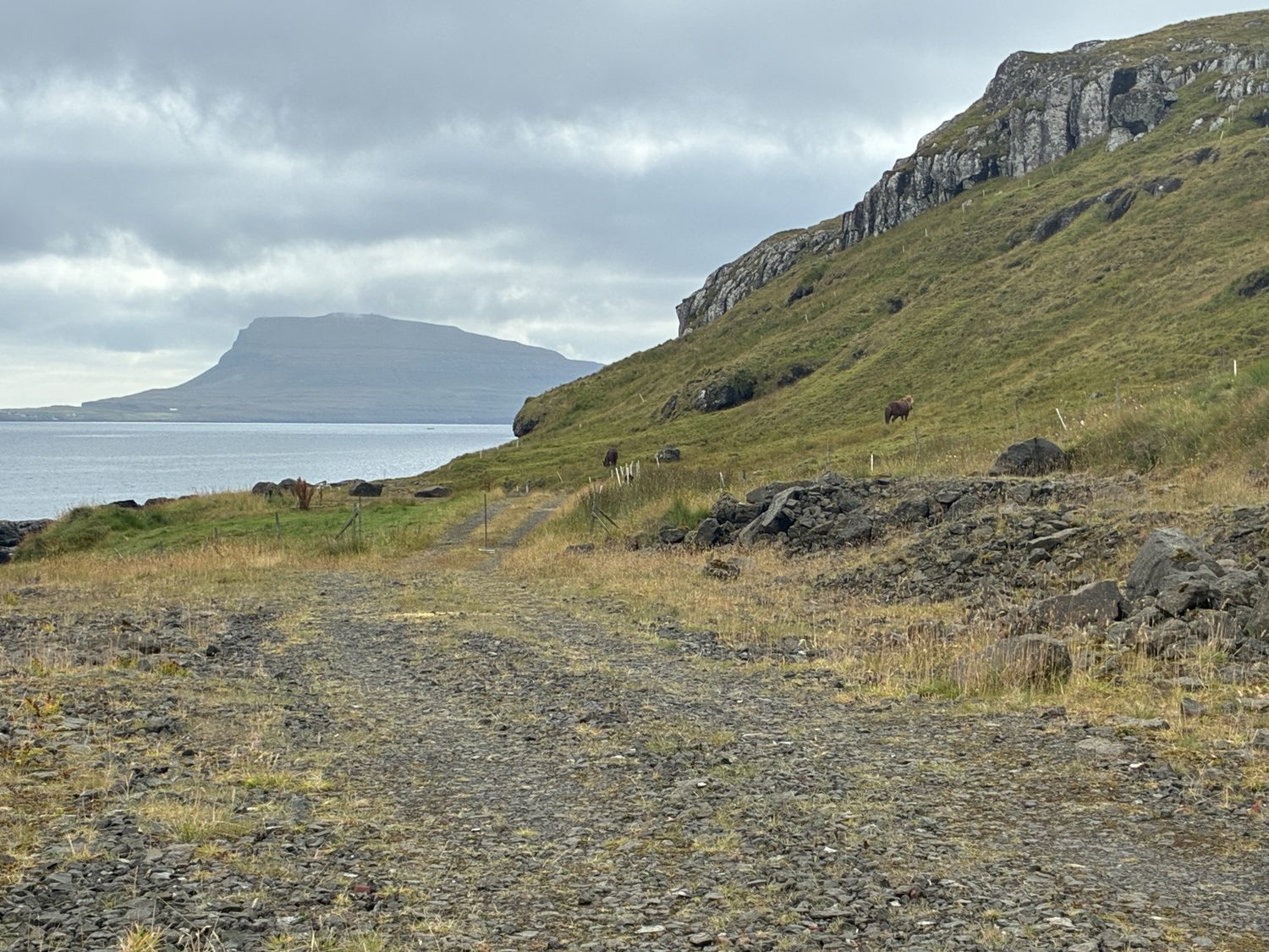
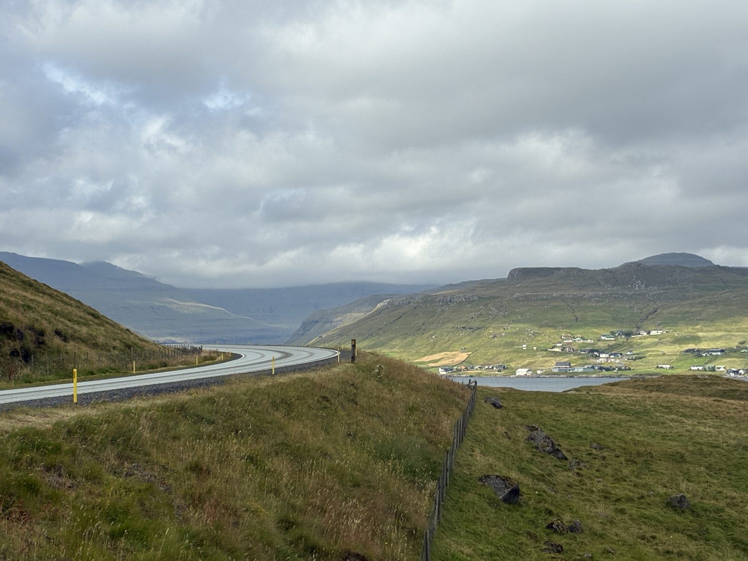
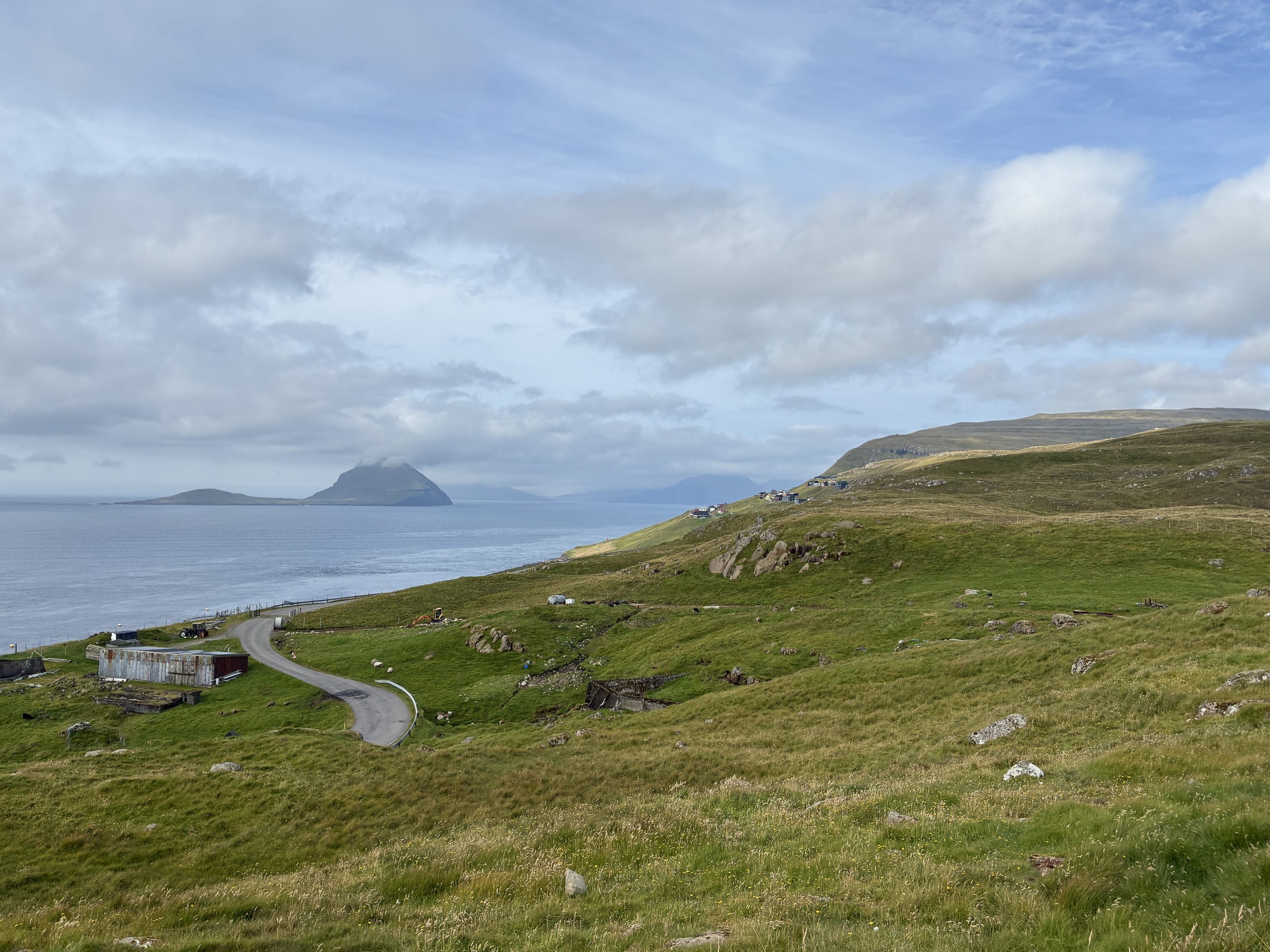
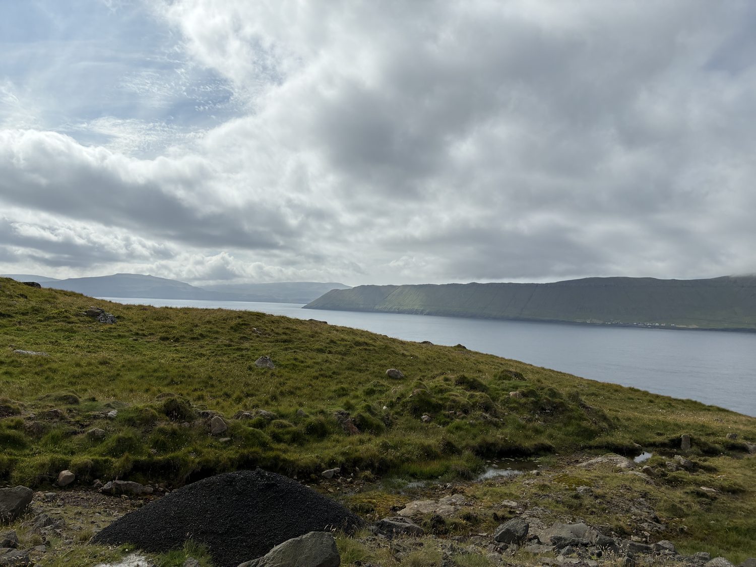
At that point, we plugged our first destination into Google maps, and headed to Kirkjubøur(don’t ask me to pronounce it… although google maps has no problem with the phonetic pronunciations), which meant backtracking a little, which was, of course, fine. Not only were we in no hurry, but we wanted to simply see what we could see.
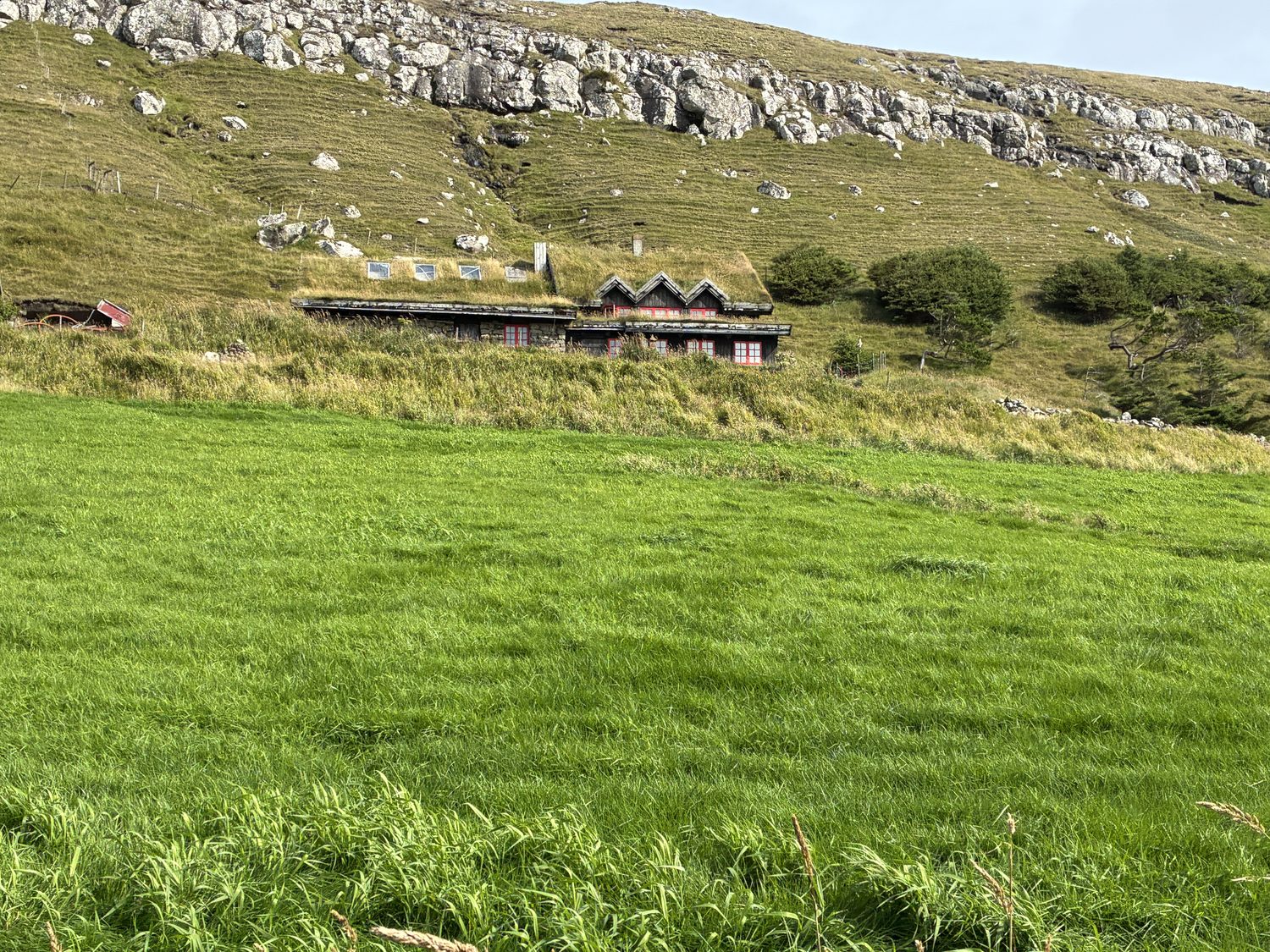
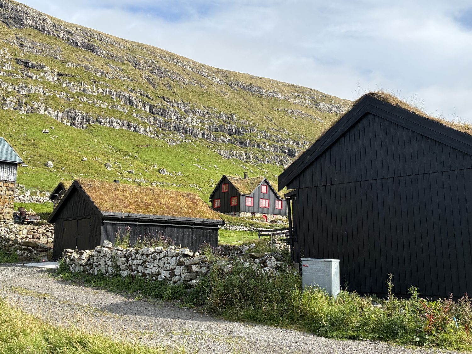
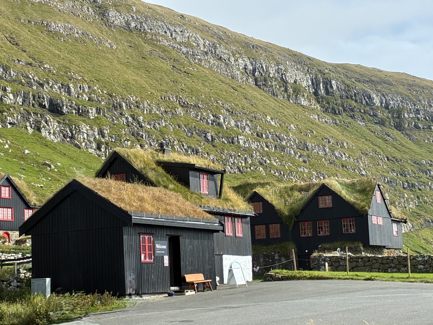
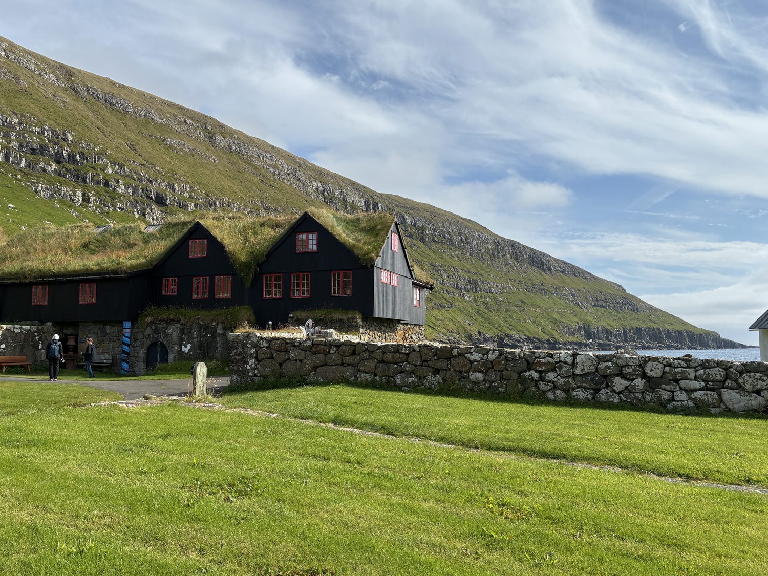
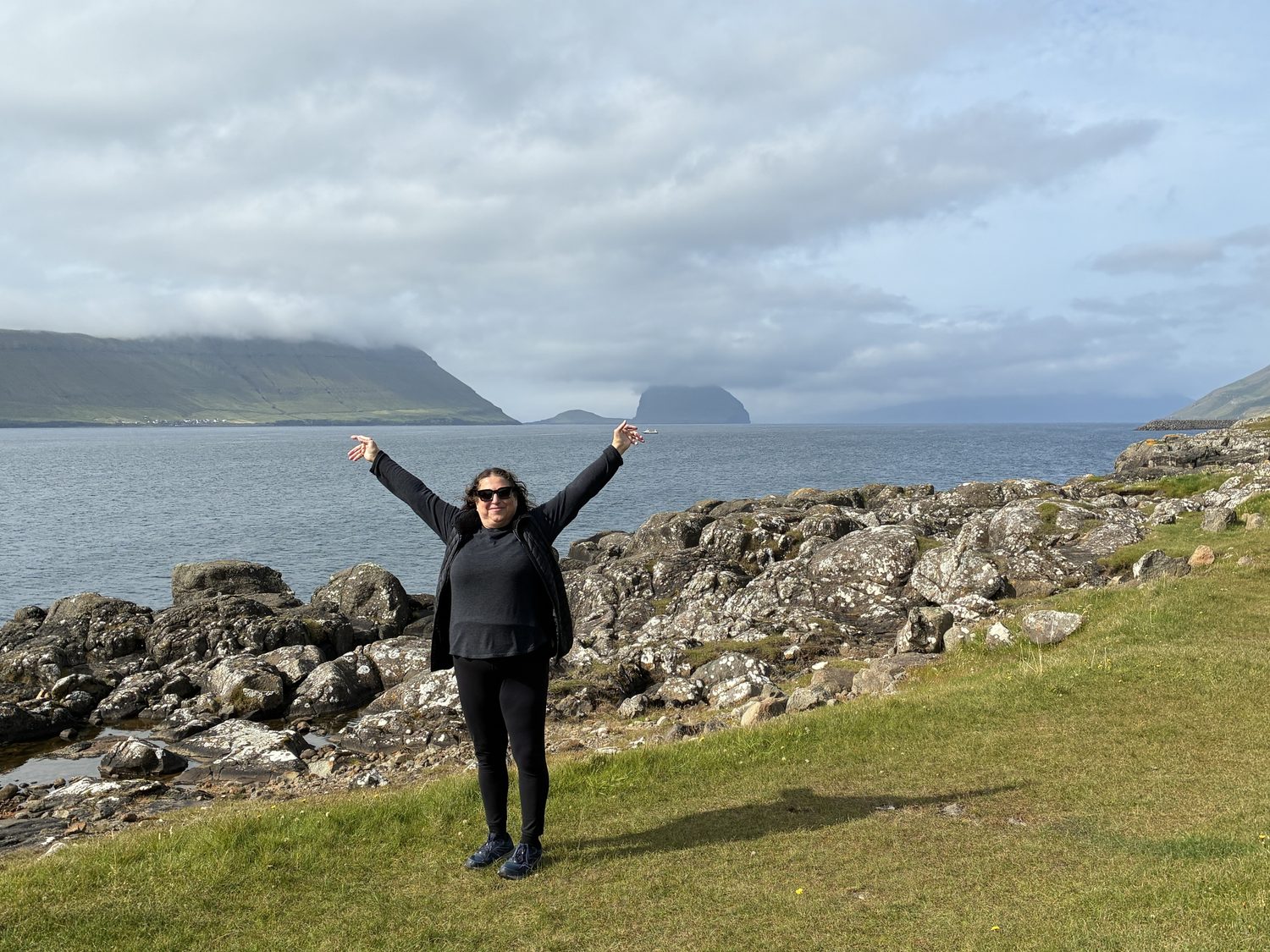
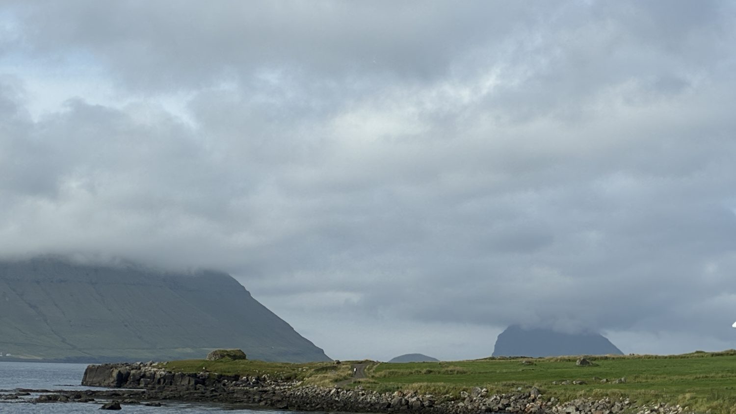
Kirkjubøur is a lovely area, and pretty remote (but then, everything here is remote), and there is an historical site here, as well as a small harbor. We walked along the hills and a small road, taking in views of the Hestfjørður fjord, an inlet of the North Atlantic, and the neighboring small islands of Hestur and Koltur. Serene, ancient, bucolic.
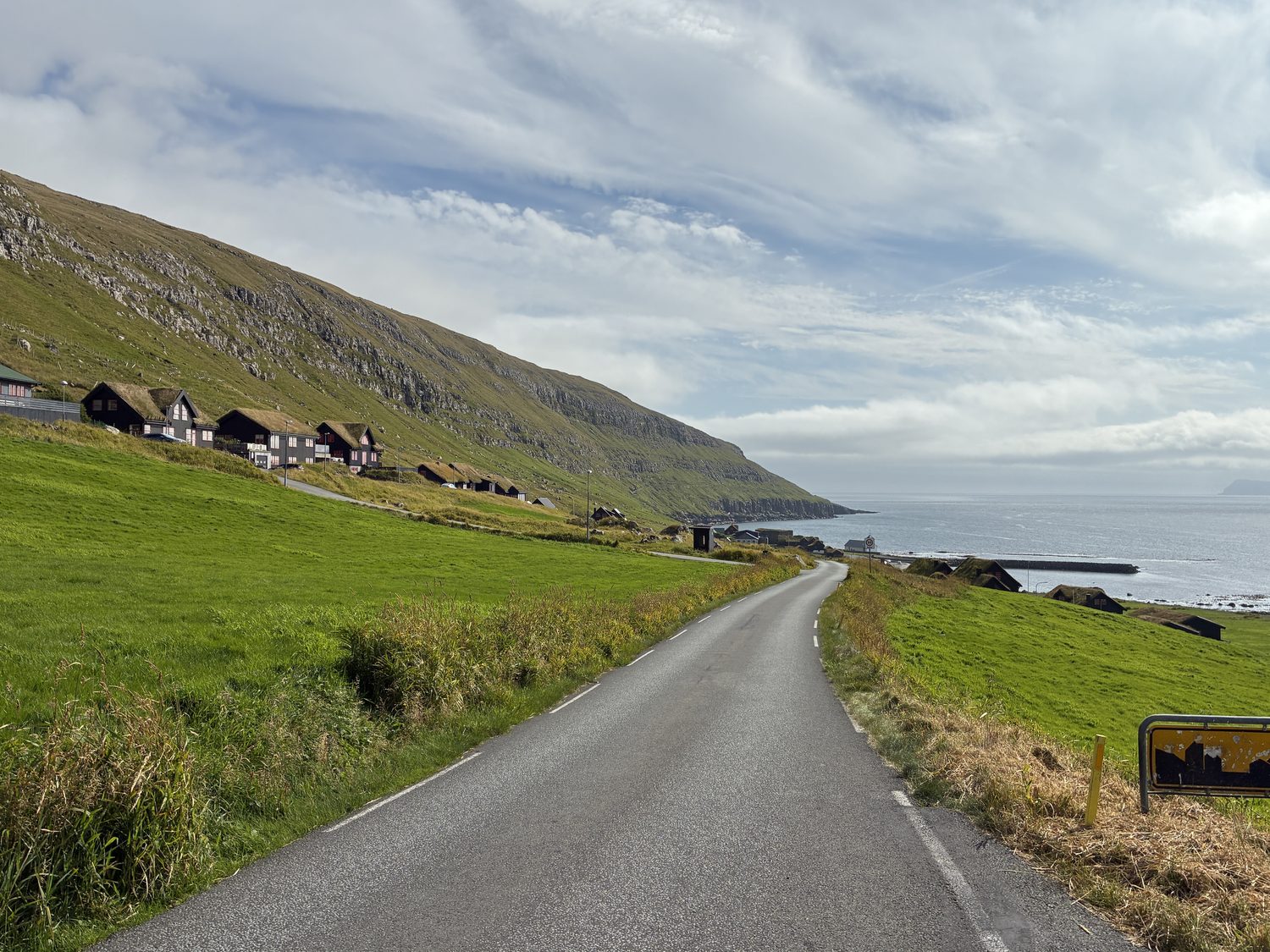
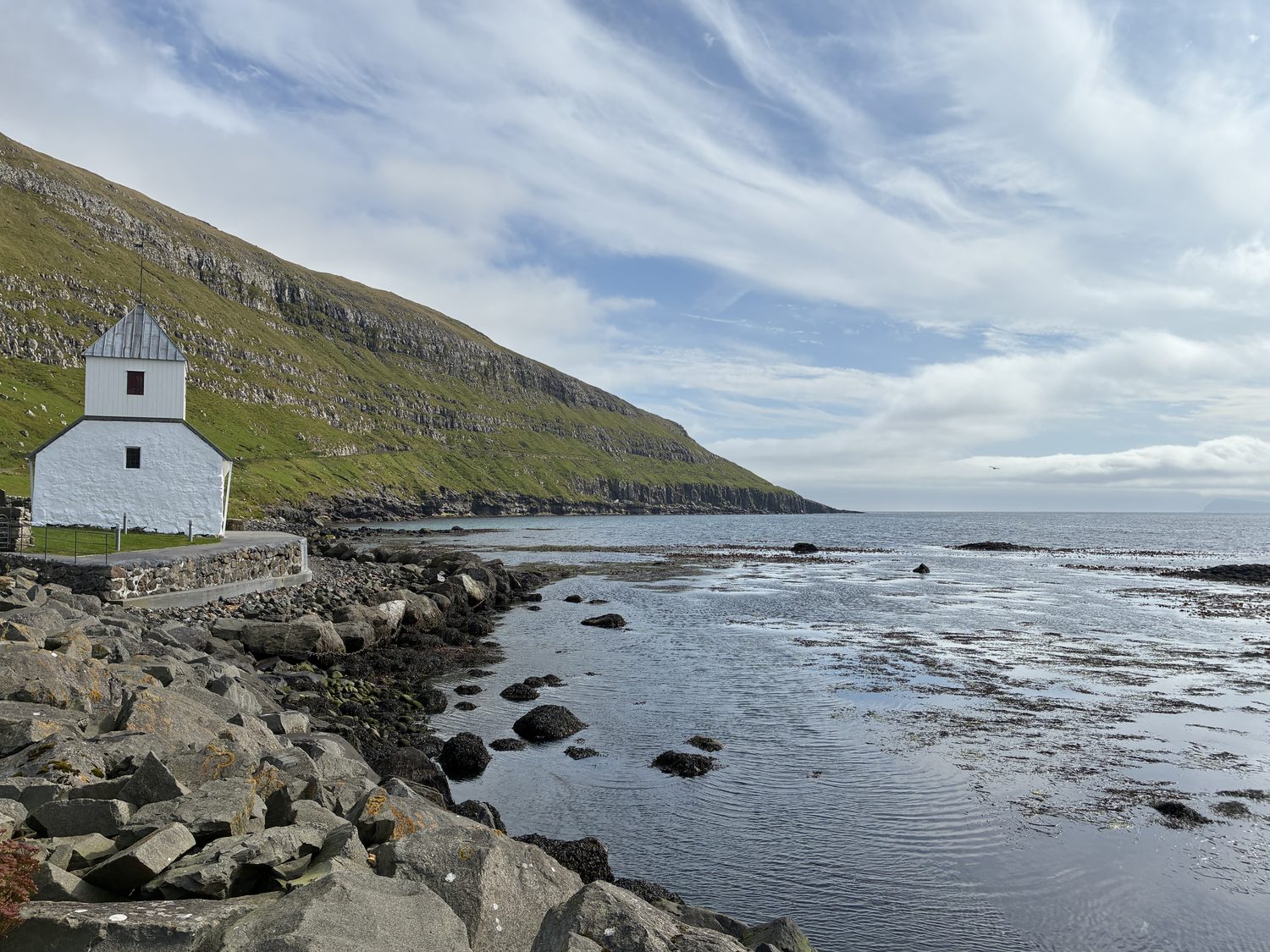
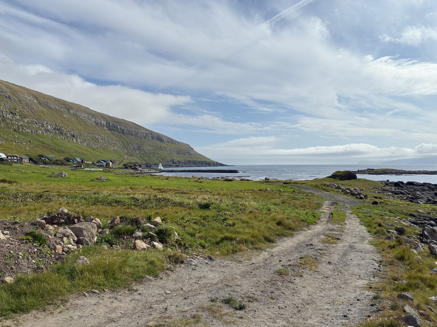
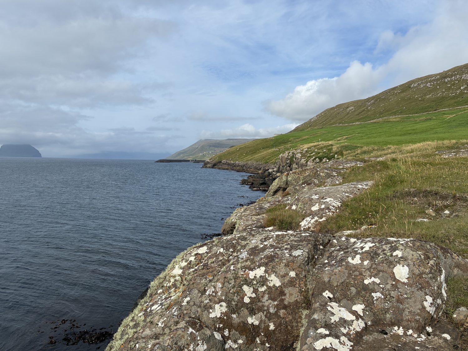
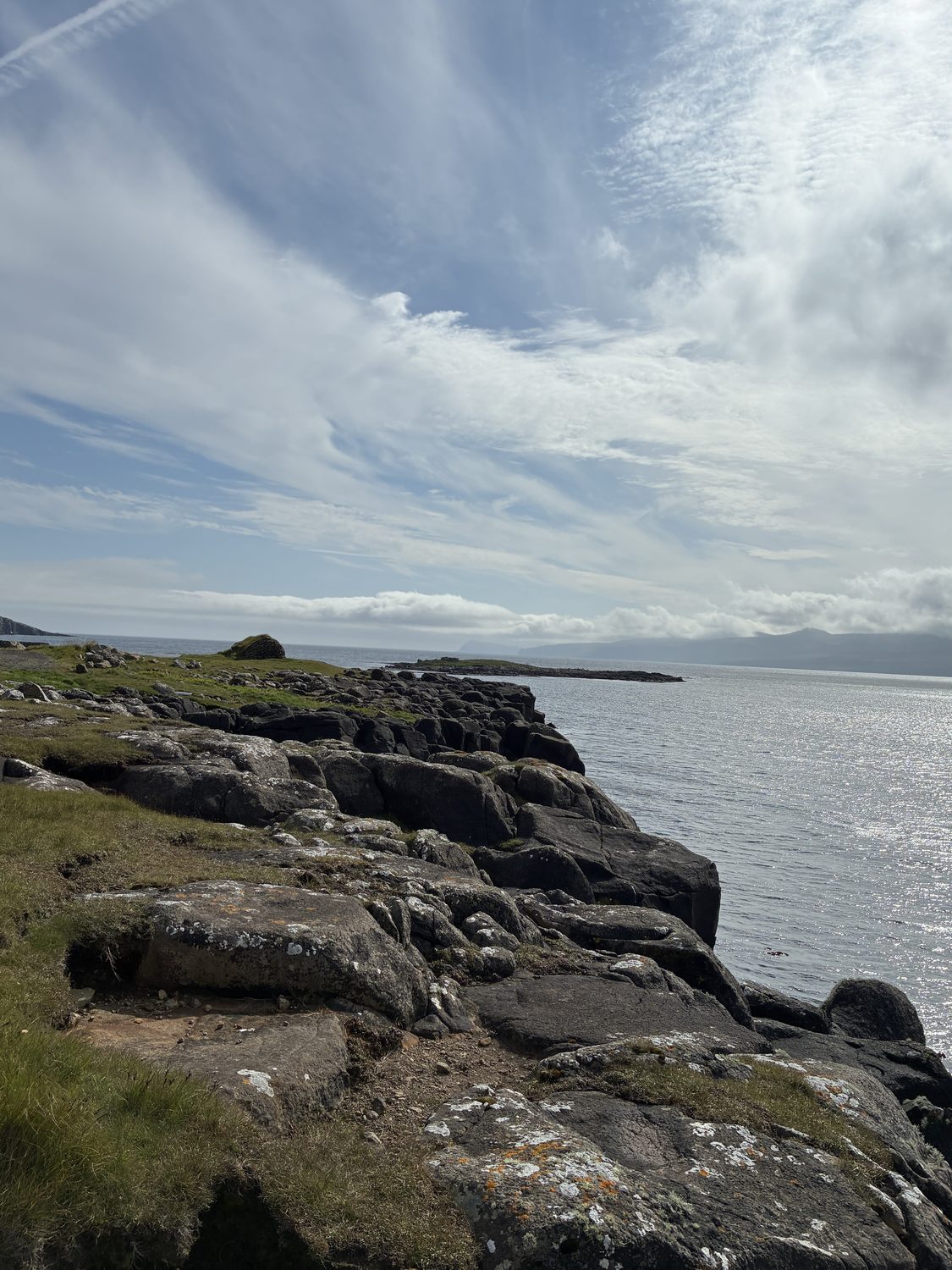
We essentially traveled the entire island today, or much of it, and after Kirkjubøur near the southern tip, we took the road north to Haldarsvík and then Tjørnuvík a few miles further north, both on the northeast tip of the island, about as far as you can go along that fork, essentially driving along the island’s northeast coast, along the strait of Sundini, the sound between Streymoy and the island of Eysturoy. These drives are not long, as the Islands are small, just 40 miles from the southern to the northeastern tip, and taking just a little over an hour to drive, but are nevertheless slow moving (otherwise it would have taken a little over 30 minutes).
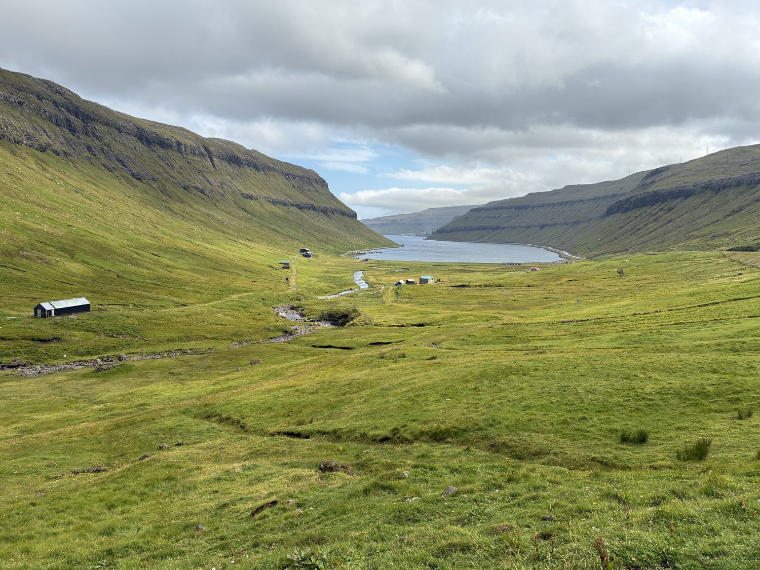
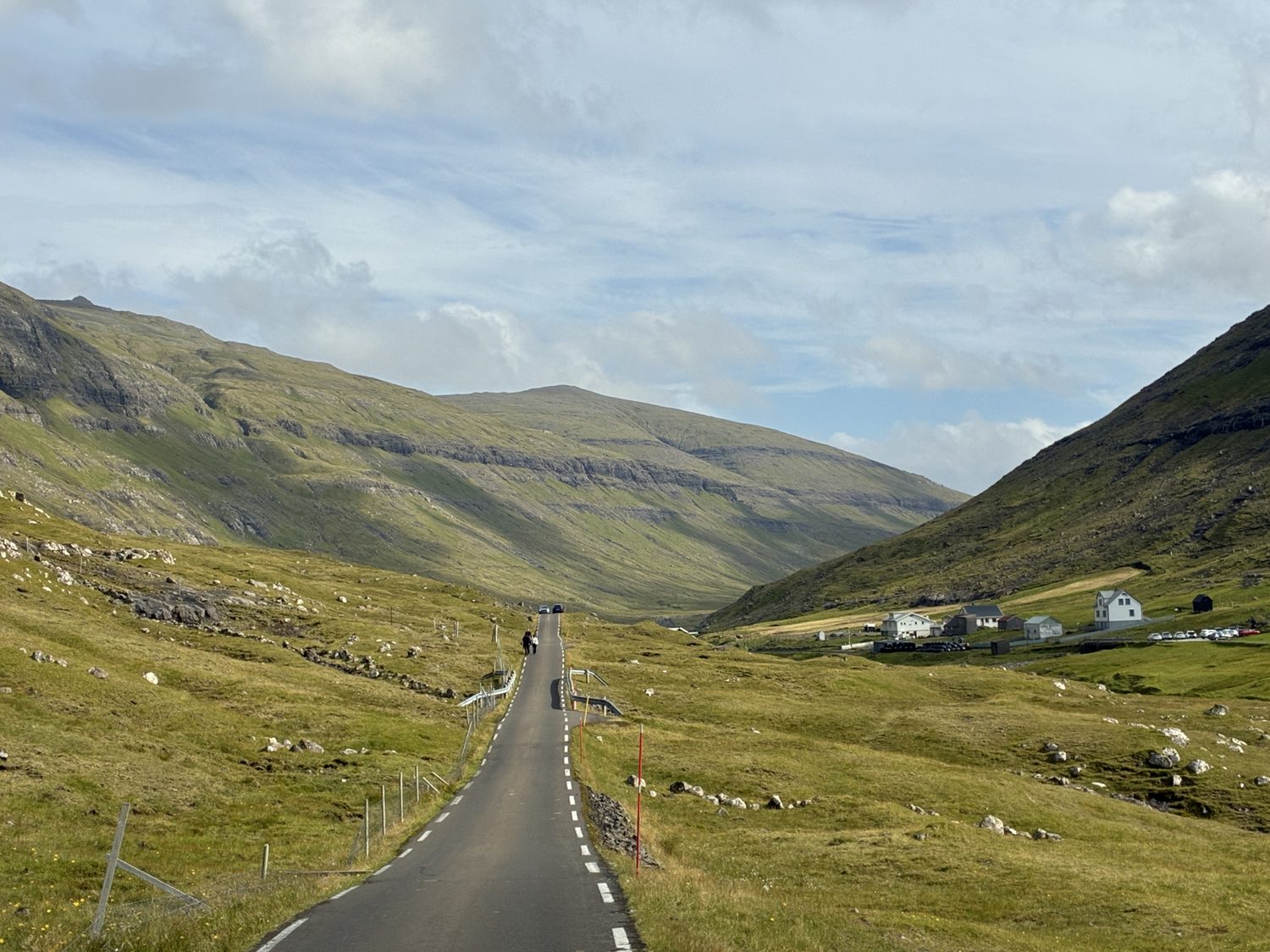
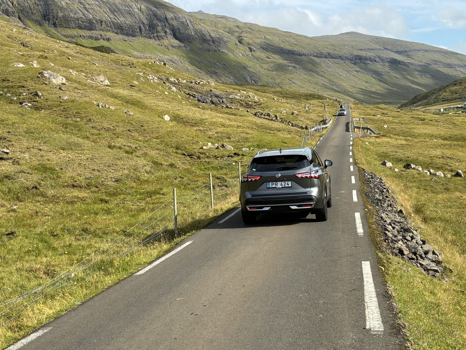
Like many parts of rural England, Wales, and Scotland that I’ve just visited and driven, there are many narrow single track roads on Streymoy (and I’m guessing all the islands), where one vehicle must pull over to let another pass. This seems most typically the case when heading to the small villages we were visiting, rather than the primary roads across the island. But, unlike those narrow lanes in Britain, here these single lane roads can run 7-15 miles, and are actually the main roads into the smaller villages and areas, and not just side or back country roads. Happily, there is not a lot of traffic heading to these areas, so taking these narrow roads for miles doesn’t involve a great deal of traffic coming in the other direction, and from what we could tell a good portion of that traffic is actually tourists like us, visiting the islands, just like us.
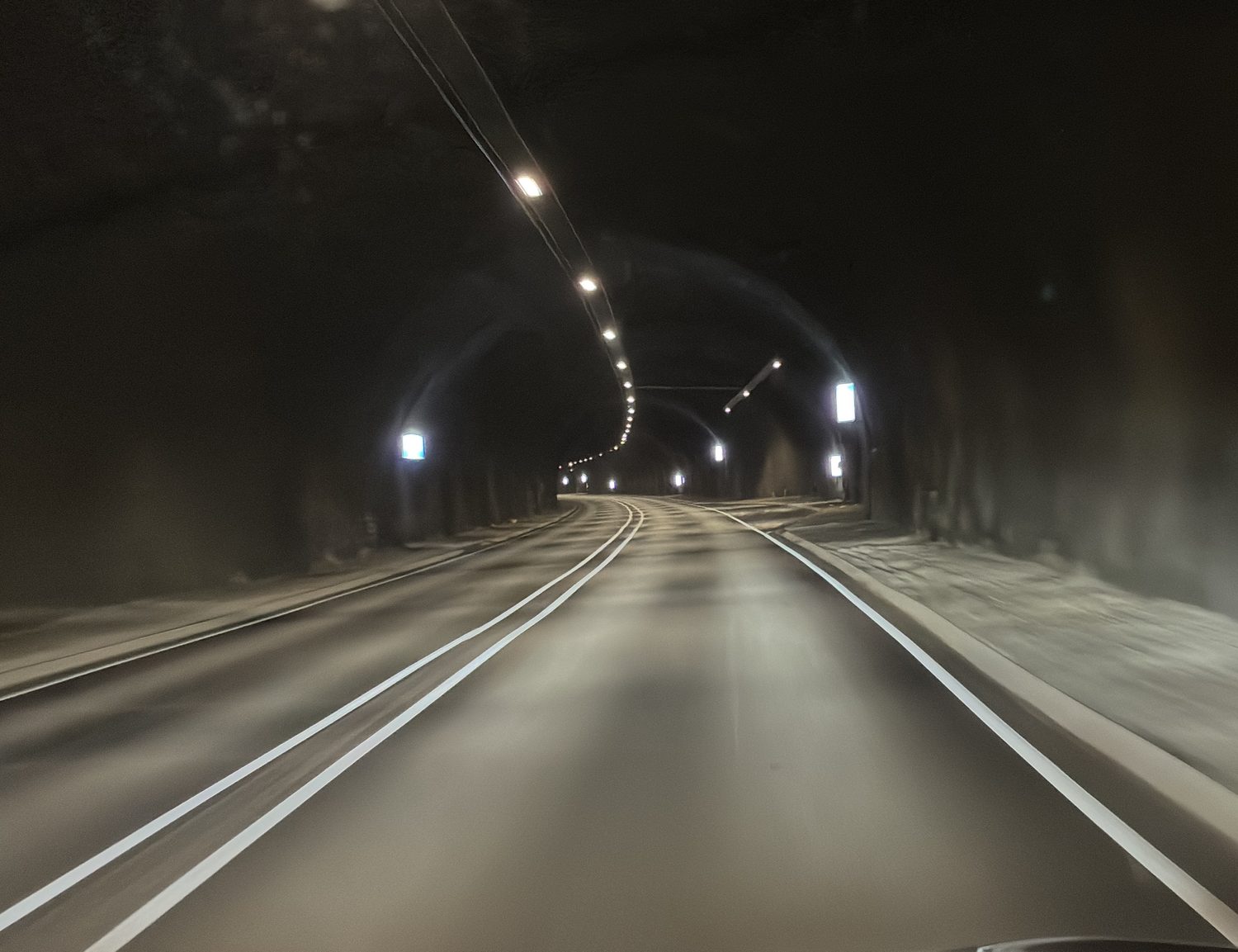
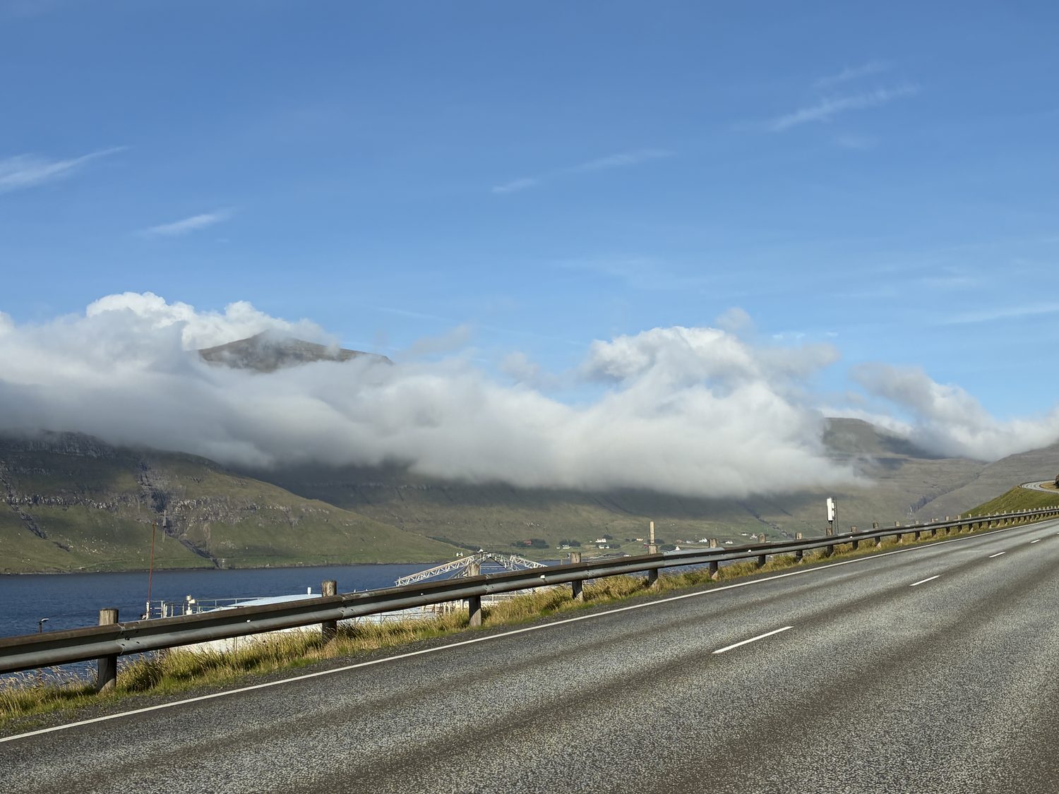
It’s certainly not the case that all the roads are narrow. Most of the major roads on this small island are “regular” sized roads, and especially around the more populated areas, and easy to travel, and these occasionally pass through tunnels blasted through the mountainsides. Last night, as we headed from the airport on Vágar island to Stremoy, we passed through a similar tunnel, except that tunnel, the Vágatunnilin tunnel, like all the tunnels connecting he islands, passed underneath the water, in this case beneath the Vágar Fjord.
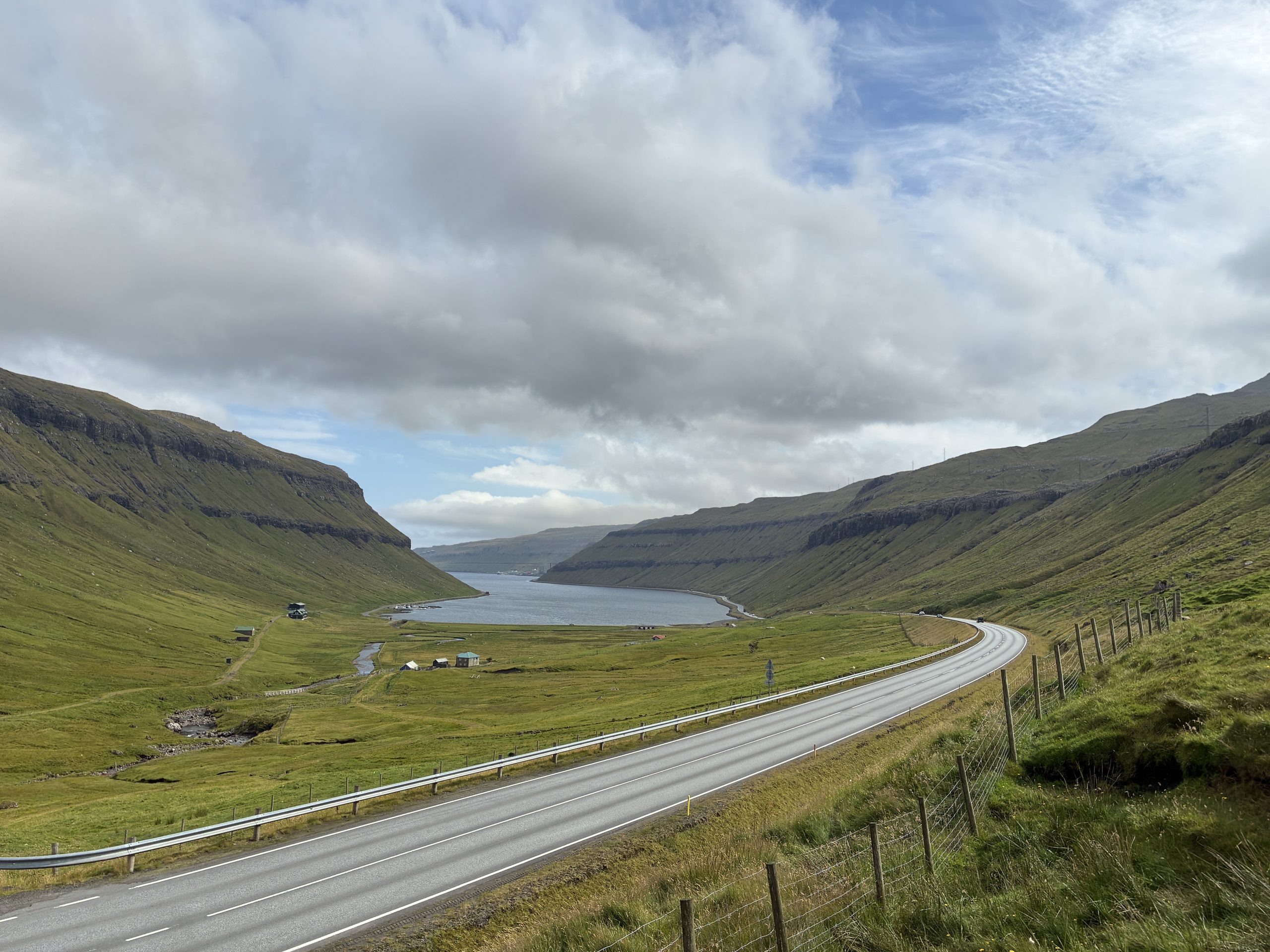
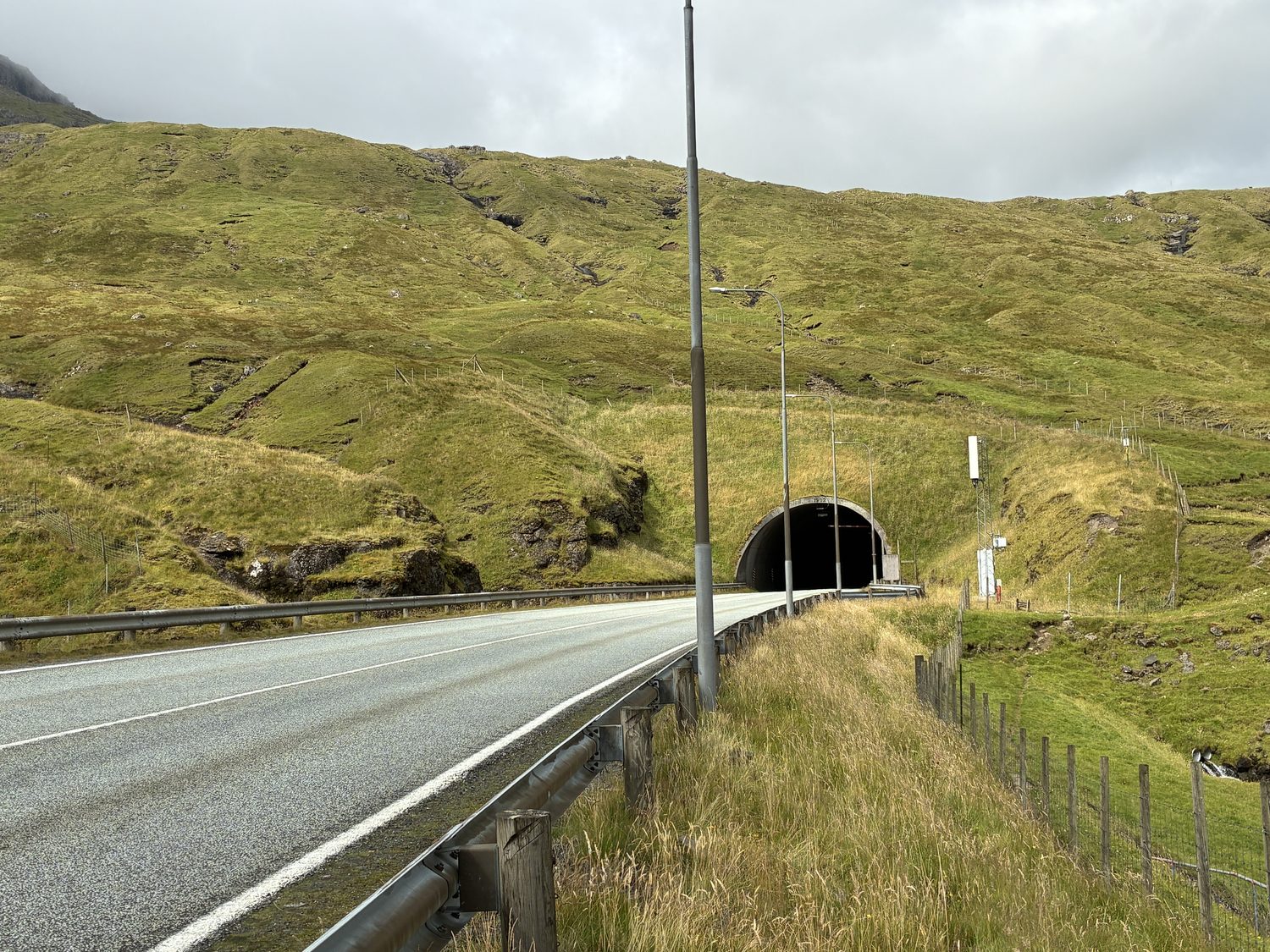
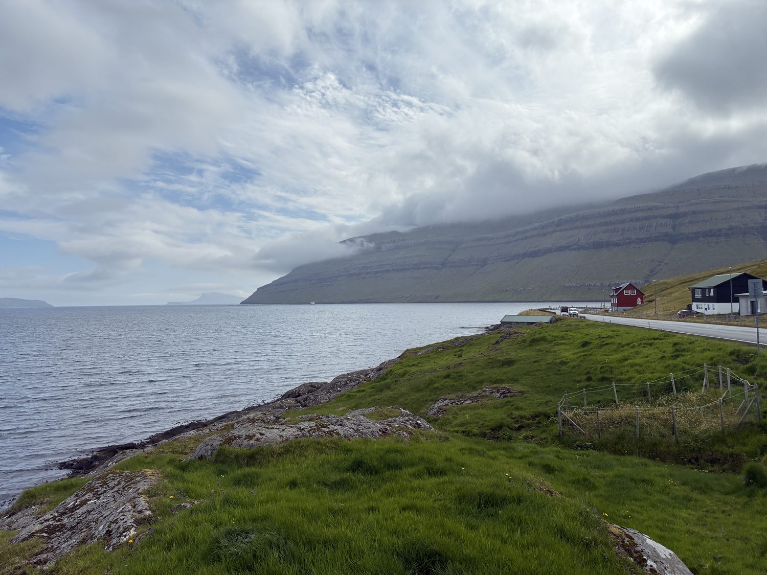
As gorgeous as the Island are, the towns and villages along the way are not especially quaint, and in many cases nowhere near as picturesque and charming as their equivalent in the UK. Although the scenery and landscapes are beautiful, and often dramatic and/or spectacular, there were few instances of seeing villages, homes, or buildings that in themselves were outstanding (unlike the scenery that surrounds them, which is amazing and many times breathtaking).
Cultural differences? Maybe, but I think it’s more about what constitutes “quaint” and “picturesque” when it comes to villages and homes. Here, the buildings are more functional, and the same is true of Tórshavn, which we spent a little more time in at the end of our day, which is a very nice town, with a nice harbor, but not especially beautiful, charming, or delightful to look at, whereas the countryside here, which is almost all the island, is often Idyllic, or outright spectacular.
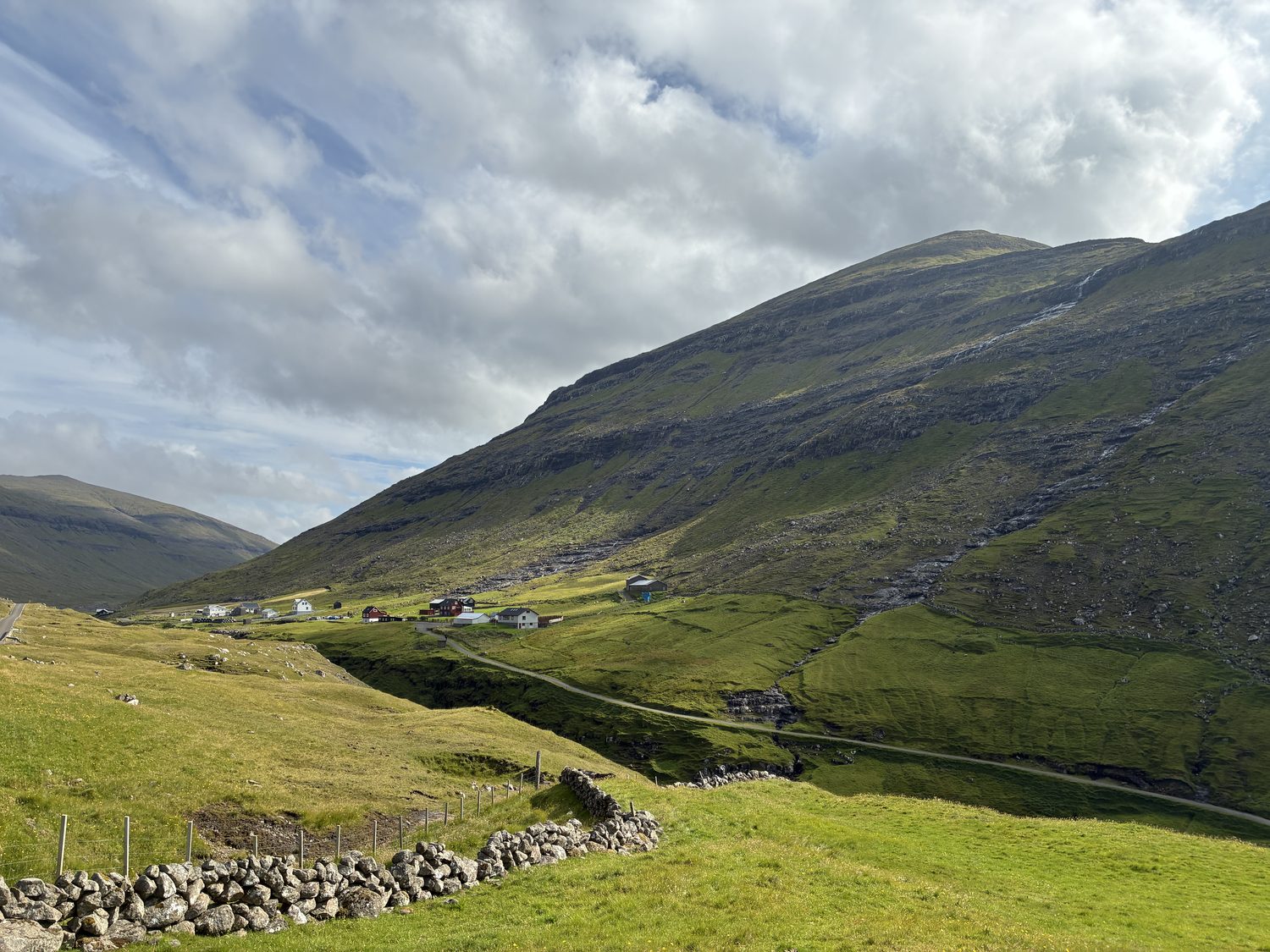

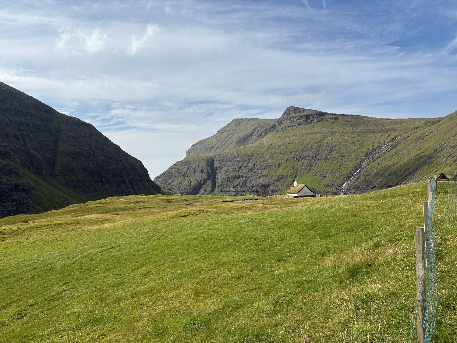
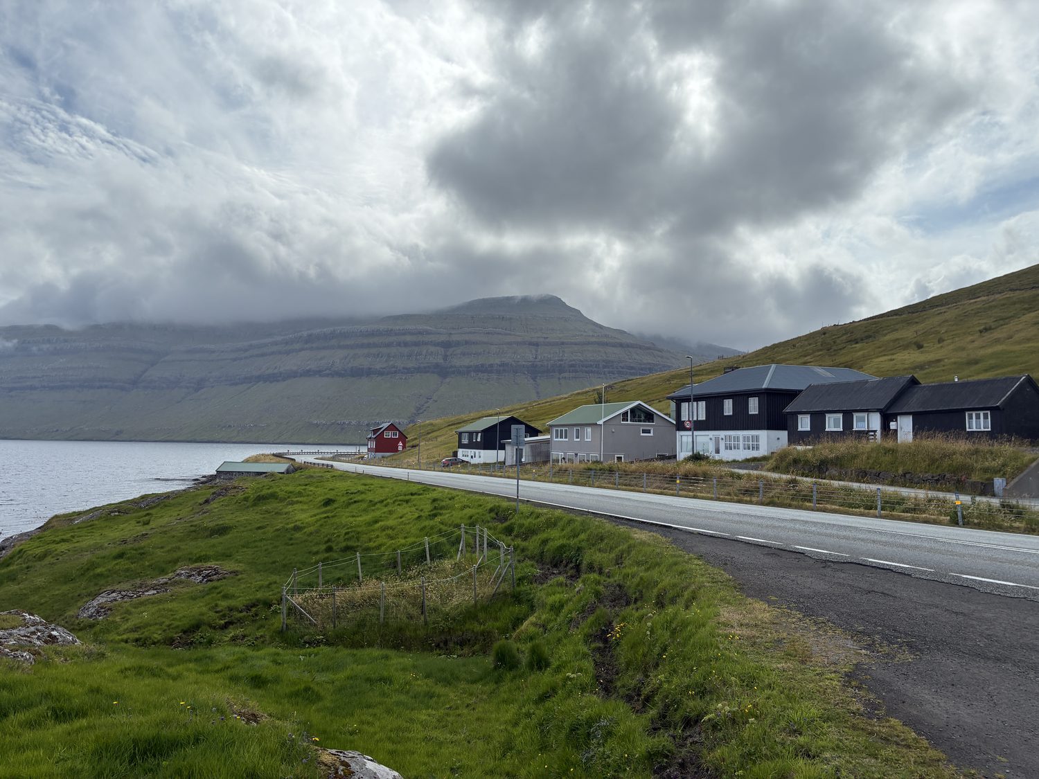
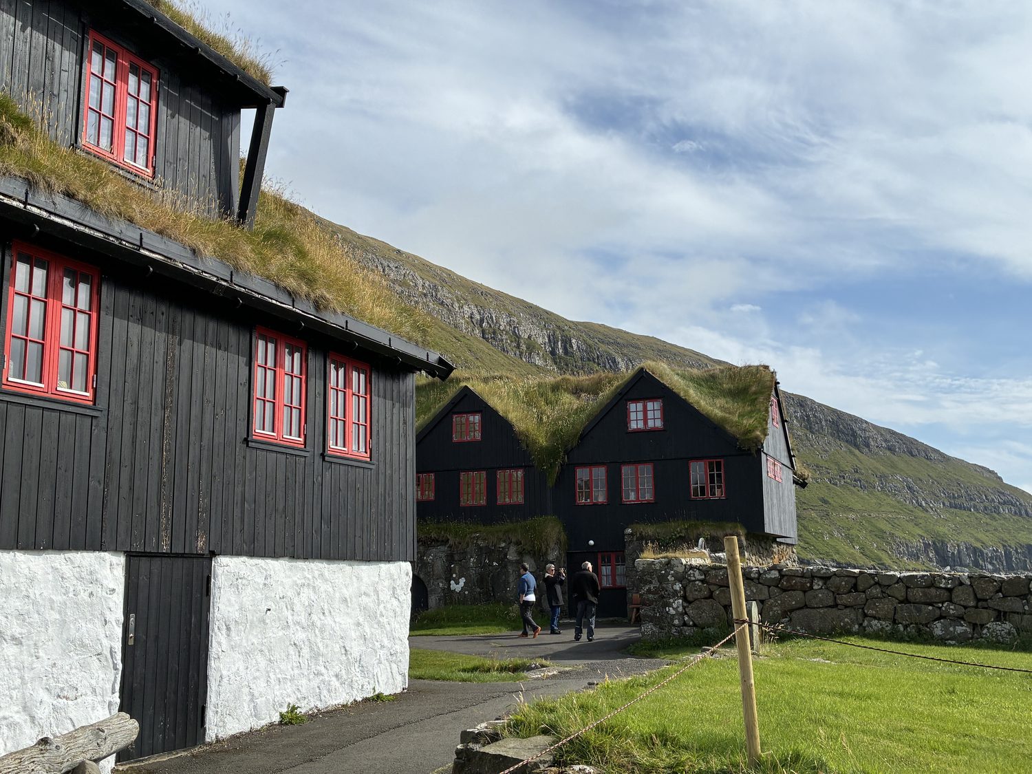
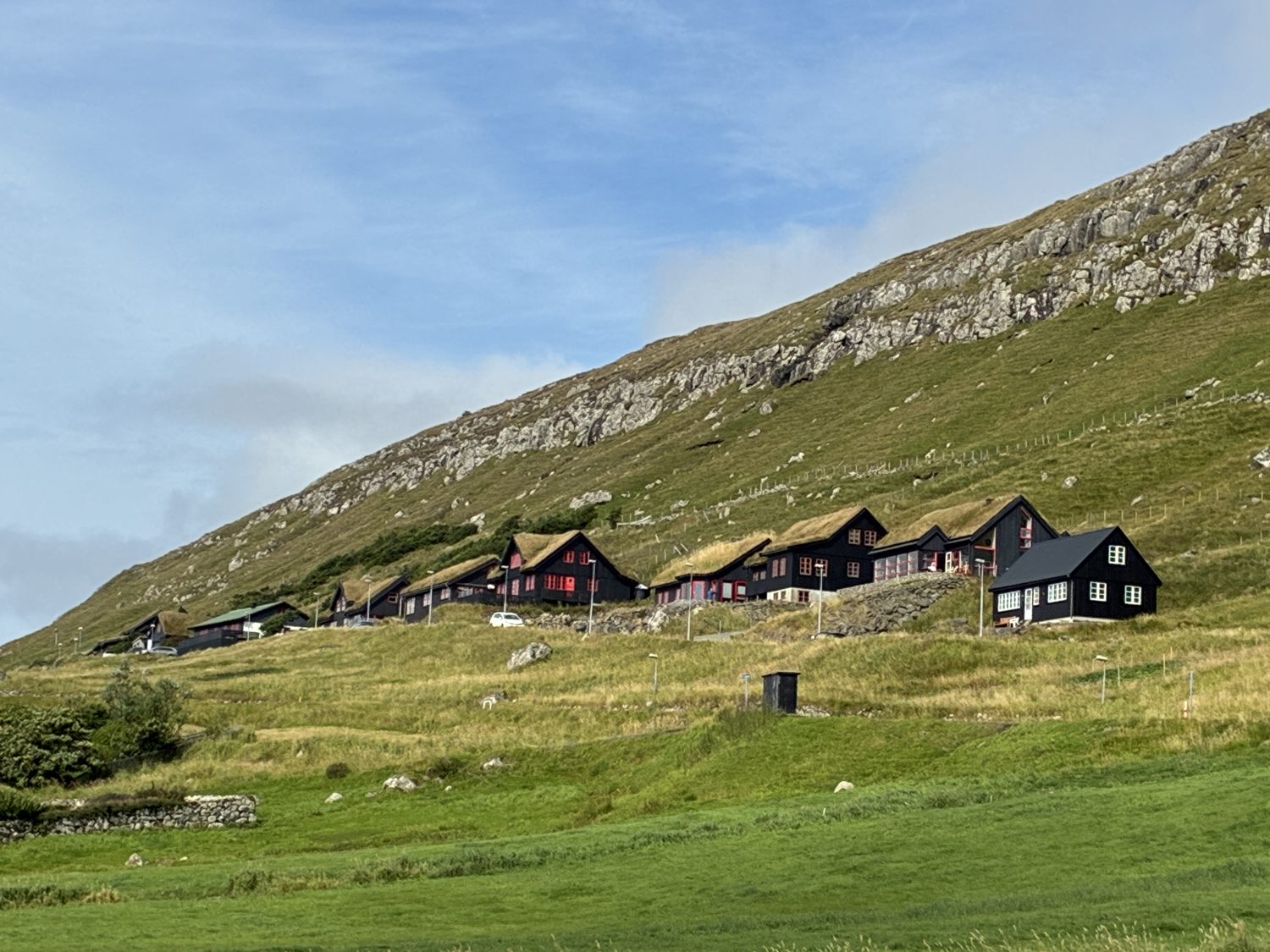
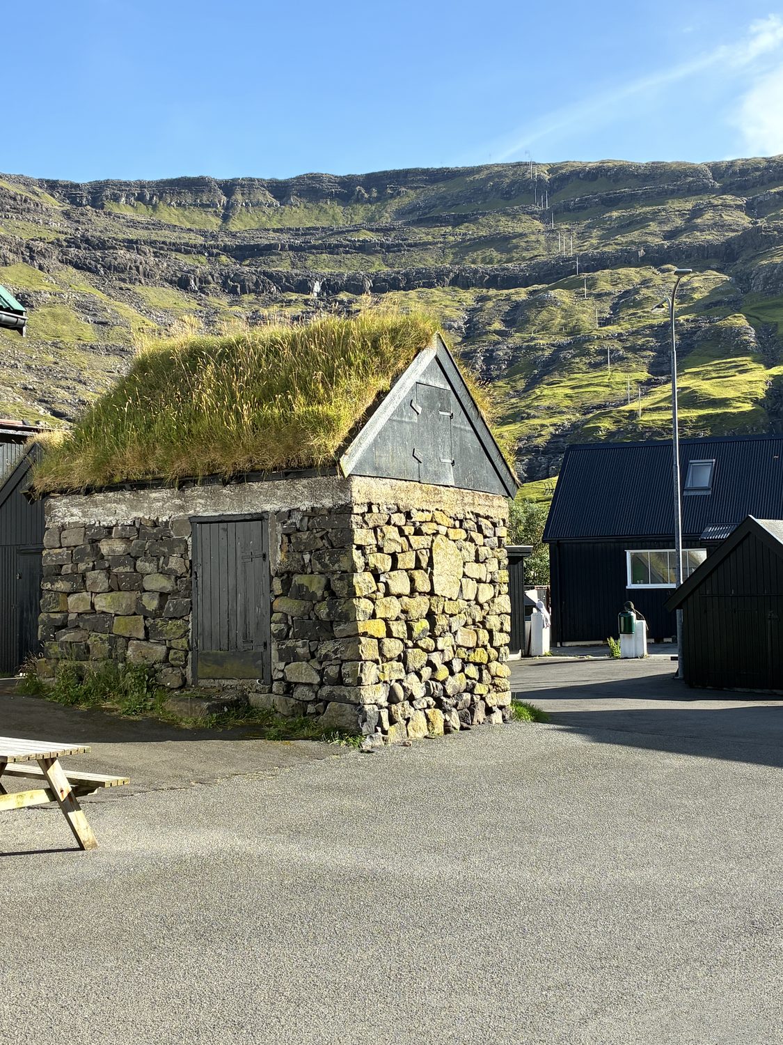
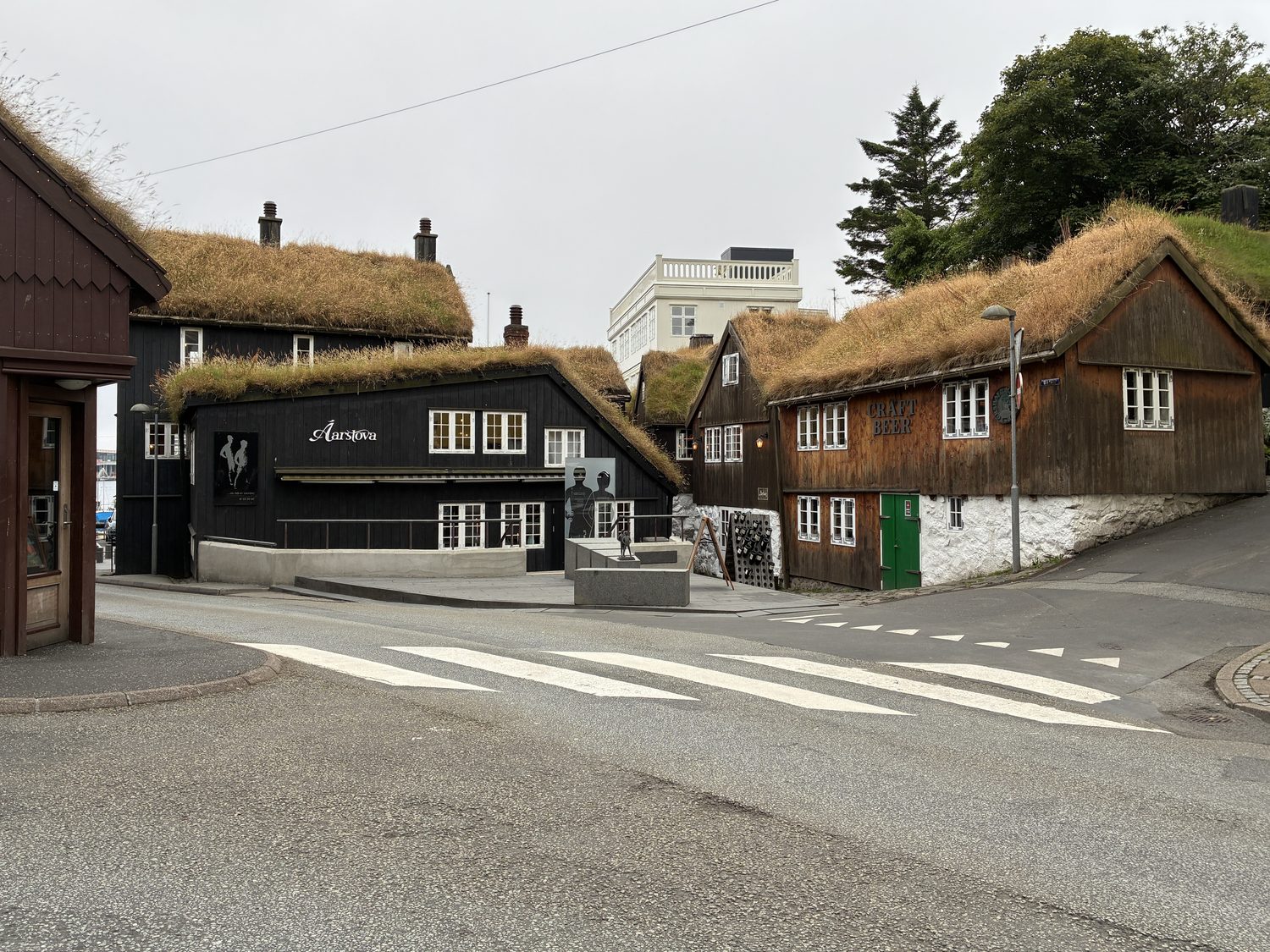
That’s not completely true, of course (and I’m not sure that “true” is actually the correct term to use, as it’s really just my opinion and aesthetic), as there are many charming aspects to buildings here, and iconic to the island, such as the many homes and buildings that have grass and moss growing on their roofs, some almost blending into the countryside behind them if outside of a town. This is both traditional and practical, and not just decorative, historically using local material to provide insulation, wind resistance, and weather protection to homes in the cold, windy, and wet climate here, although the practice has also become an iconic feature of the Faroes.
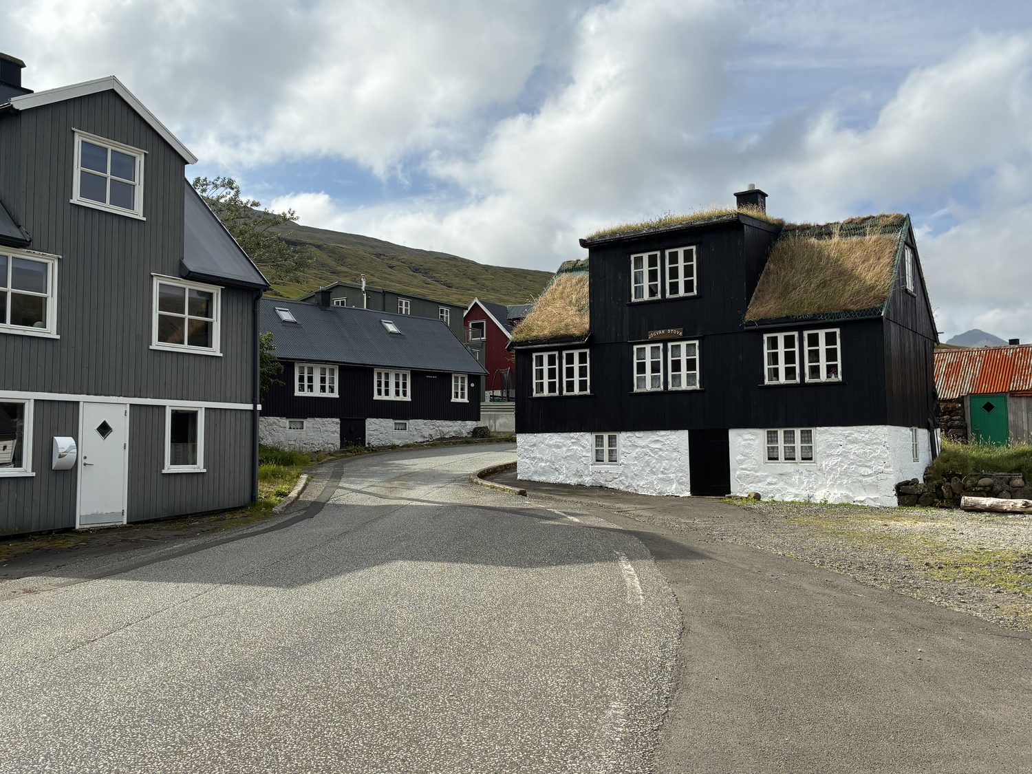
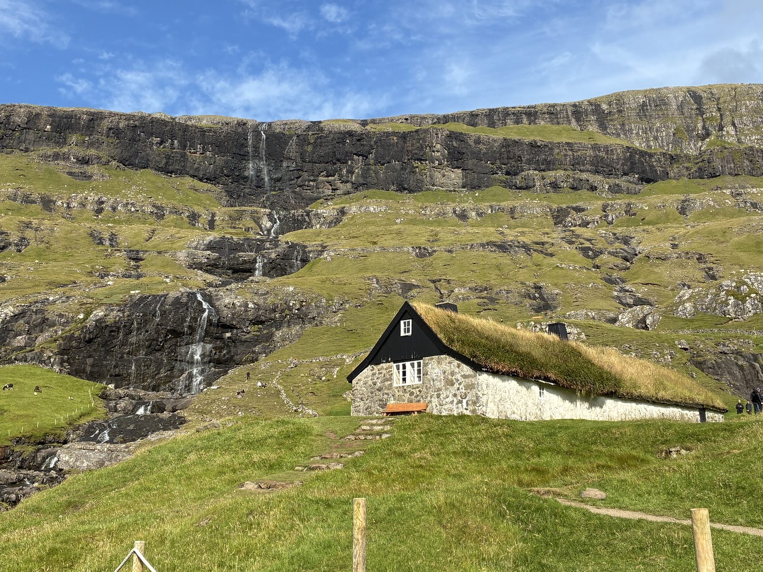
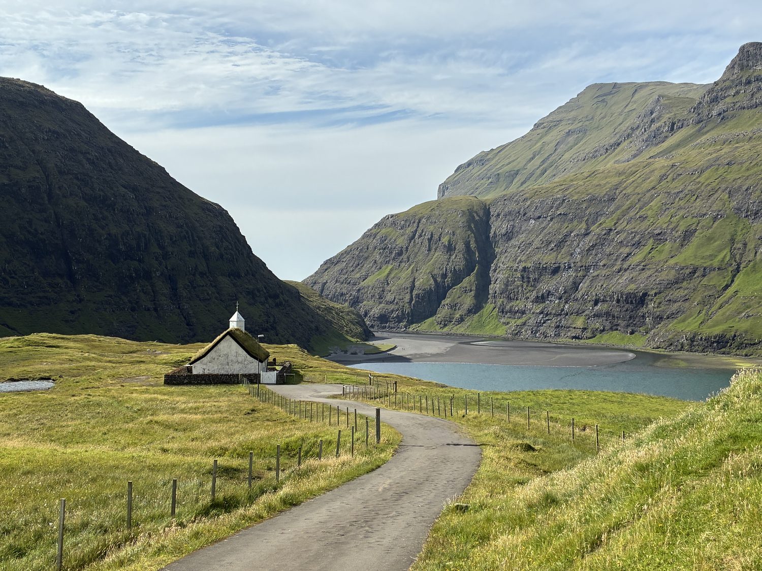
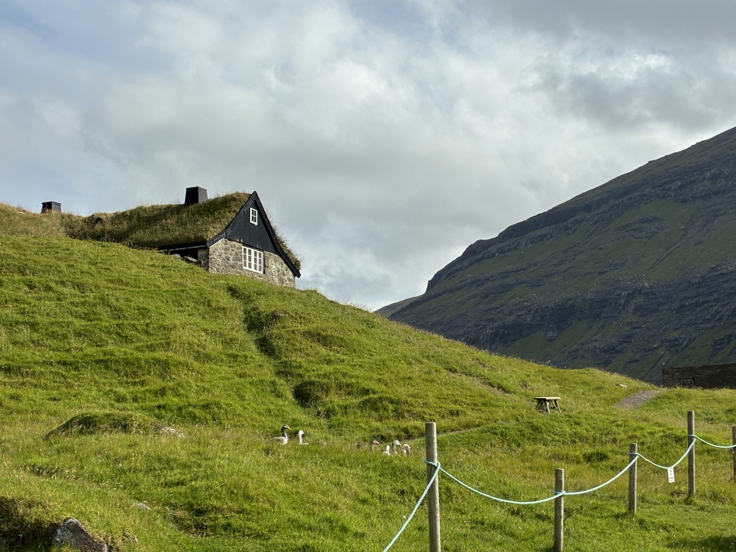
Another feature of many homes here is being painted black, rather than the lighter colors seen in the British countryside, for instance. Again, there are both practical and cultural reasons for this distinctive Faroese tradition. There also many red, yellow, white and other colored buildings here, but black is especially associated with the older and more traditional buildings. Historically, wooden houses were coated with black tar to protect the timber from the extremely wet and windy weather, as well as helping to make wooden walls more resistant to moisture, and once black became established as the traditional finish it remained popular even when modern paints replaced tar. Plus, the combination of black walls, white-framed windows, and green grass turf roofs has become a characteristic of the Faroese architectural look.
Also characteristic of the islands is the lack of timber, with largely treeless hills and mountain sides, which is also the case in Iceland. This is largely the result of the climate and history of the islands, in which strong winds from North Atlantic storms make it difficult for trees to grow tall without being uprooted, and the cool and wet climate favors grass, moss, and low vegetation, which grow well in the volcanic soil of the islands, which is why the the islands are carpeted in green. In addition, sheep, which are everywhere and outnumber the human population, have been on the islands for centuries, devouring sapling trees and shrubs before they can become established. Human deforestation in which trees and shrubs were cleared for farming and used for fuel, also played a role, and once trees disappeared the combination of harsh weather and sheep grazing throughout the islands made natural regrowth difficult. Nevertheless, the islands are capable of supporting trees, but they grow naturally only where protected. As a result, due a lack of native wood, historically and presently, timber has to be imported into the Faroes, mostly from Scandinavia and the Baltic.
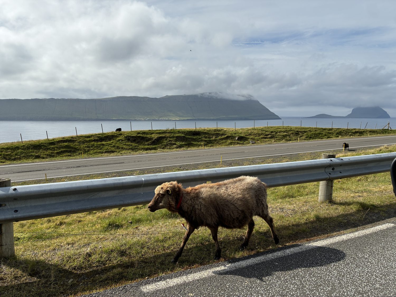
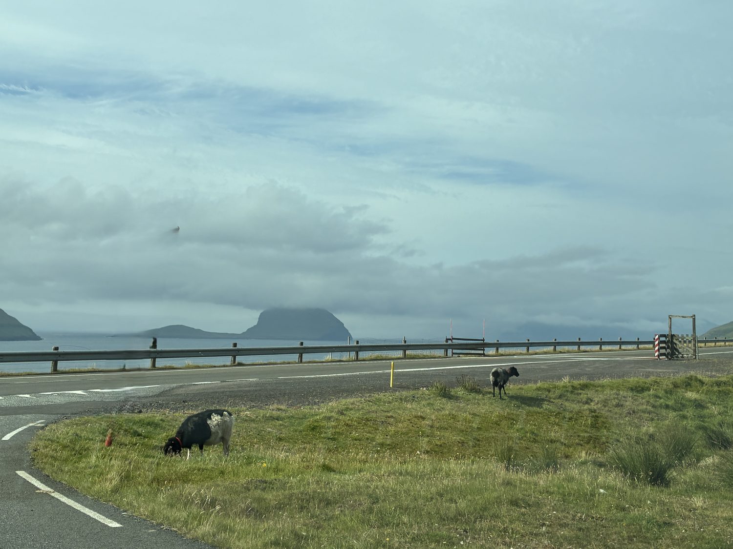
Talking of sheep, not only are there a lot of them, and all over the place, in the hills and by the side of the roads, just chilling, and often big and fat, but they also often have multicolored wool, with brown fur on their heads and white and black on their bodies, for instance. I’ve never seen that before, and multicolored sheep are apparently another characteristic feature of the Faroese landscape.
Back to our day’s travels, after visiting Tjørnuvík on the northeastern tip, we headed south back along the northeastern fork of the road, and then back north along the north central fork of the road, which goes to Saksun, about as far as you can travel north along that road, with no interconnecting roads between these small villages. These destinations are pretty tiny, with those one lane roads leading to them, so they’re slow going. By now, I’m well used to these small lanes, and with the rental car we currently have, which is just the right size, they’re actually pleasant and interesting roads to travel, happily with not too many vehicles coming the other way, although with few places to pull over to enjoy the views or take photographs.
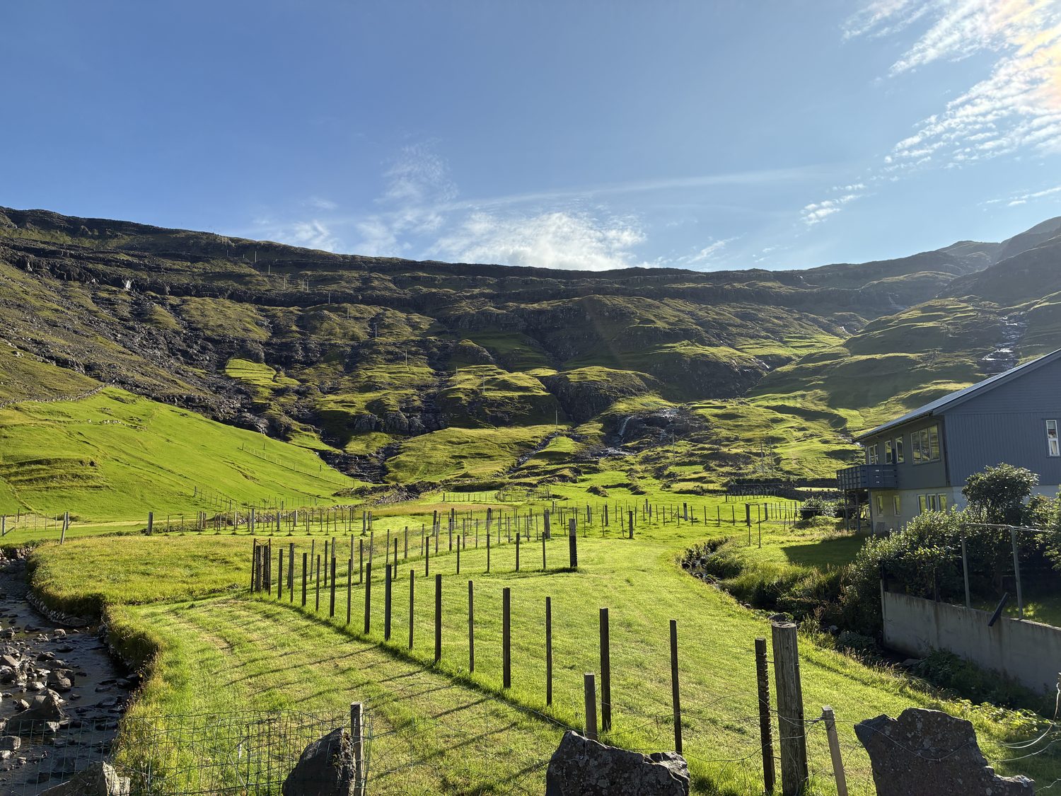
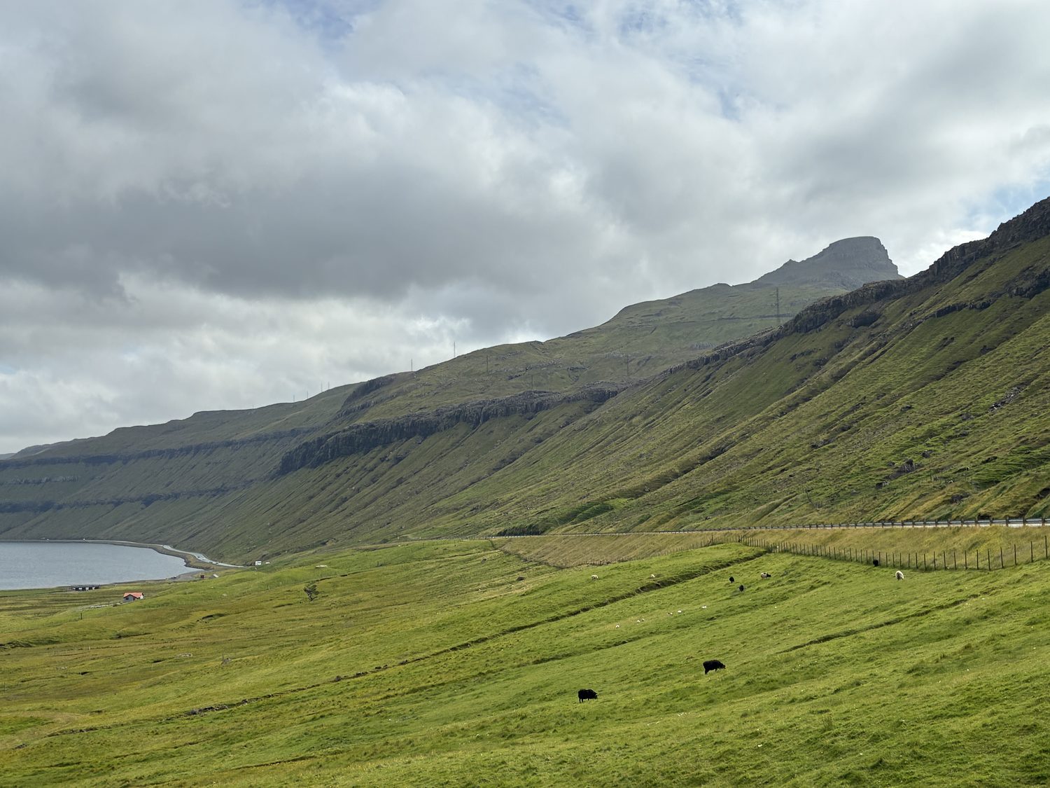
These villages are destinations for hiking mostly, and in several cases the small villages are closed to traffic, and in one case even to people walking through them, with few, if any cafes or places to eat or grab a drink. We soon learned that the Faroe Islands does not have a restaurant culture, and outside of the larger towns there are few places to eat. Instead, these villages are scenic spots with fabulous countryside, but are themselves not especially picturesque. Great for being outdoors though, and in the case of Tjørnuvík, surfing apparently, although we didn’t see surfing waters when we visited today.
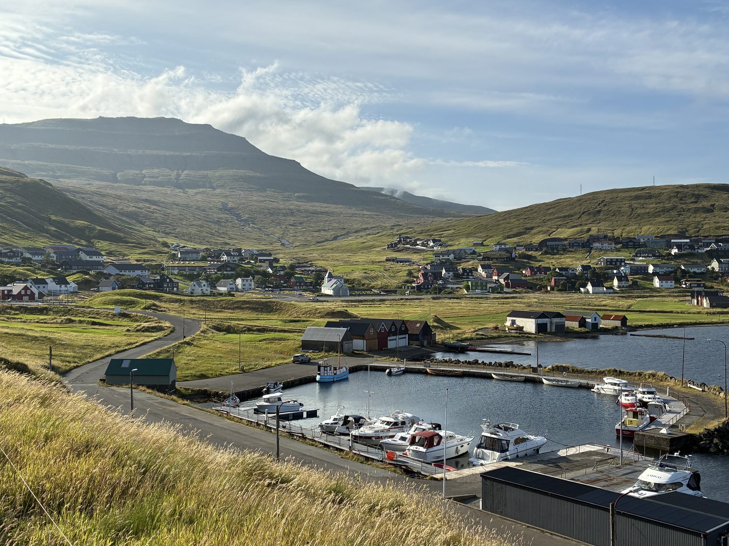
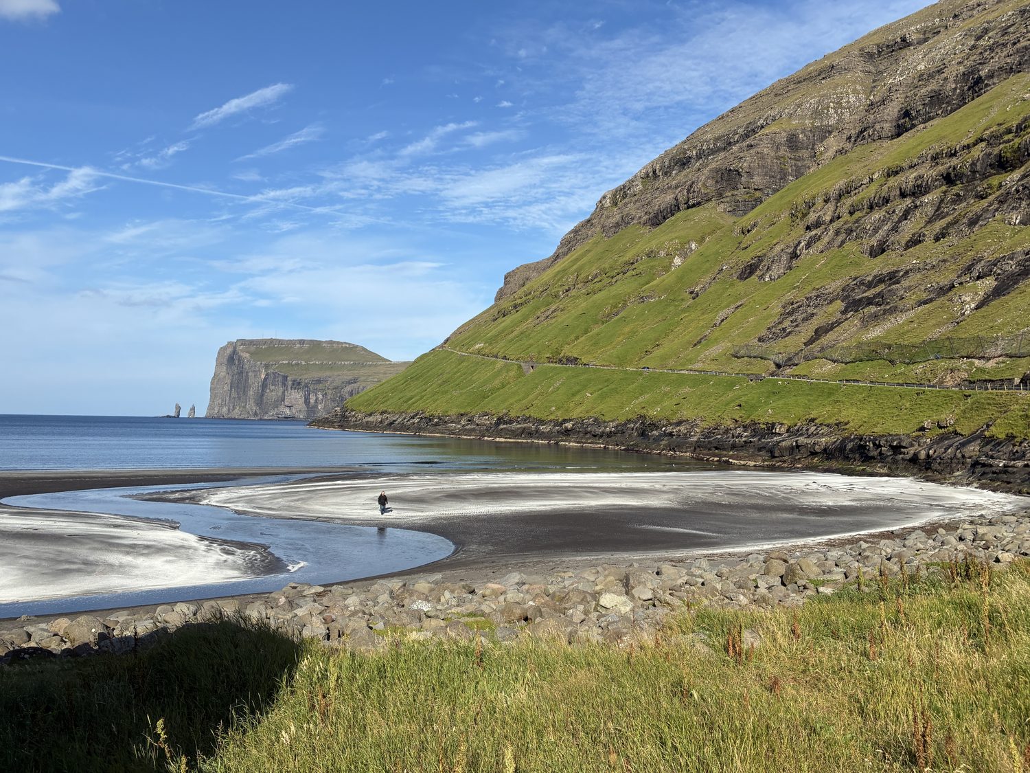
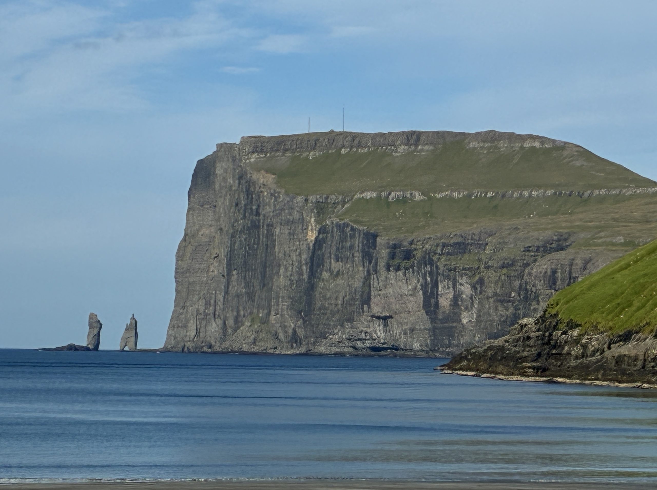
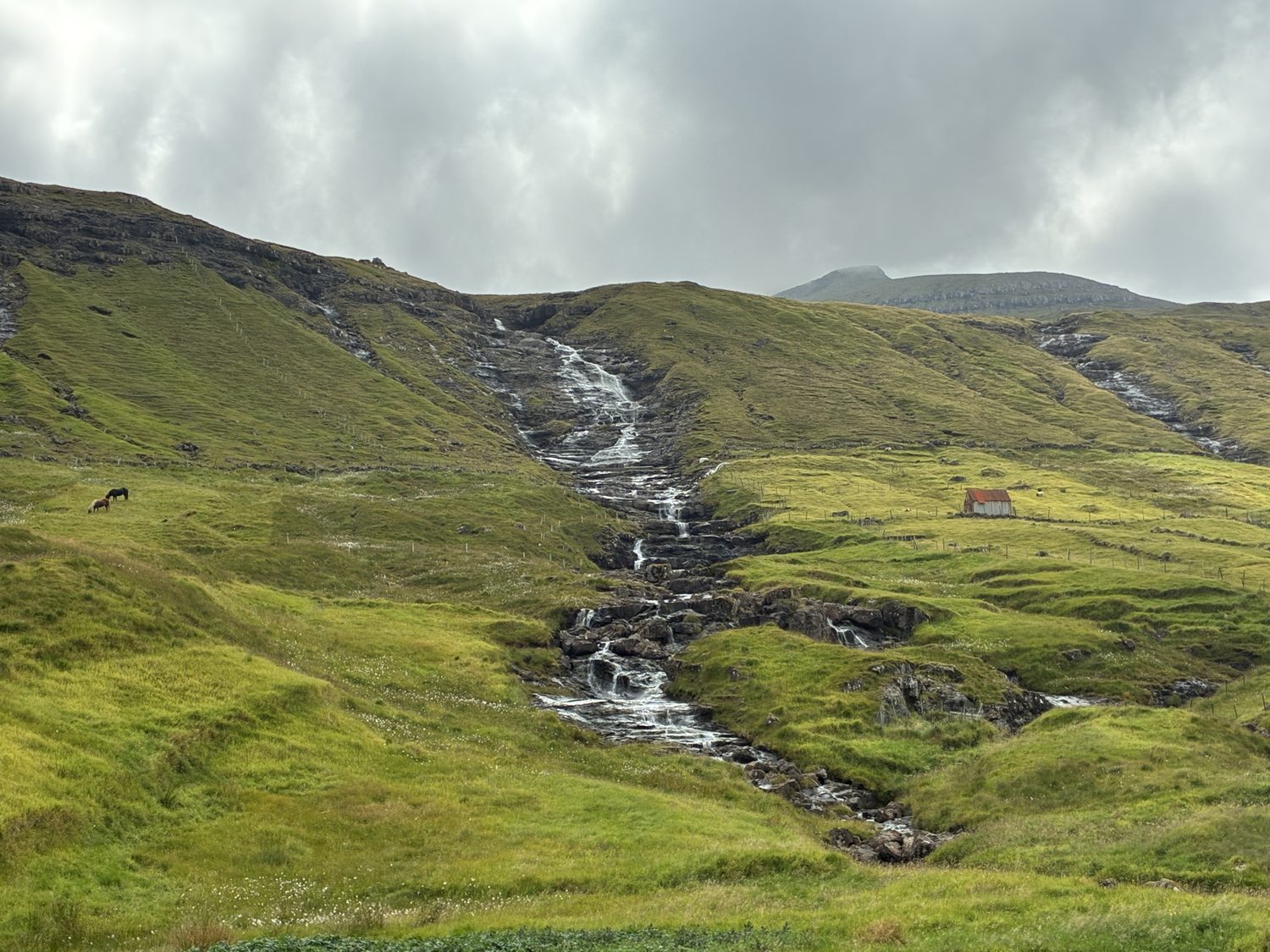
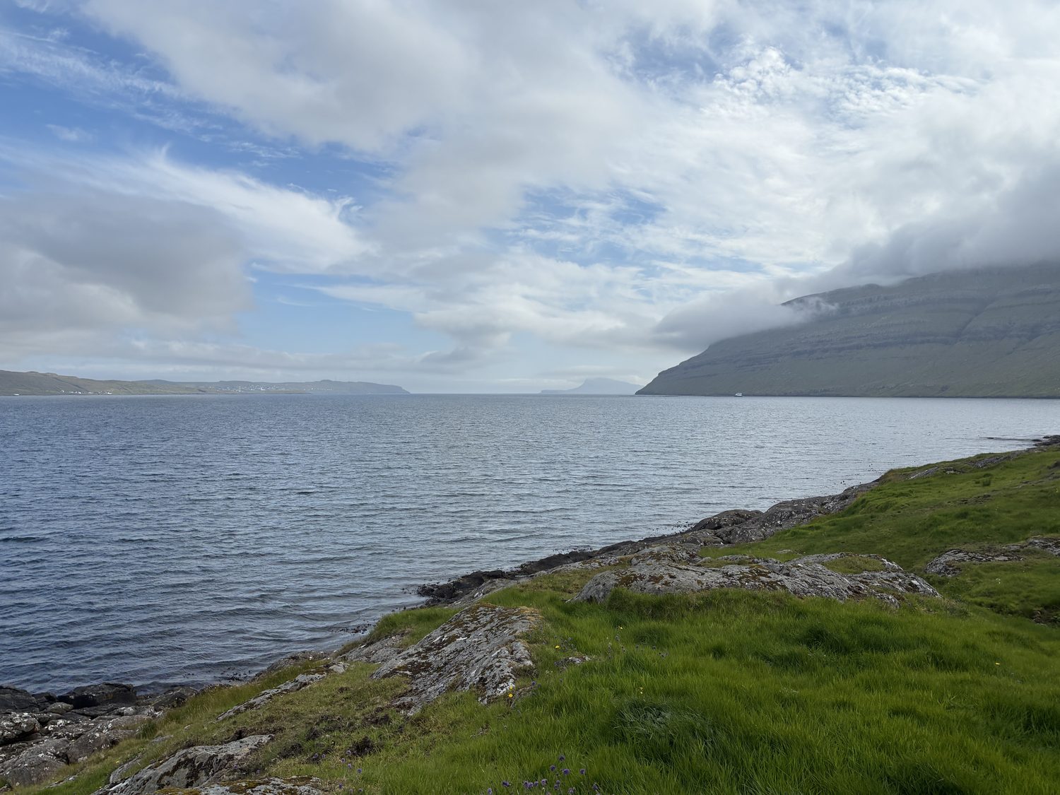
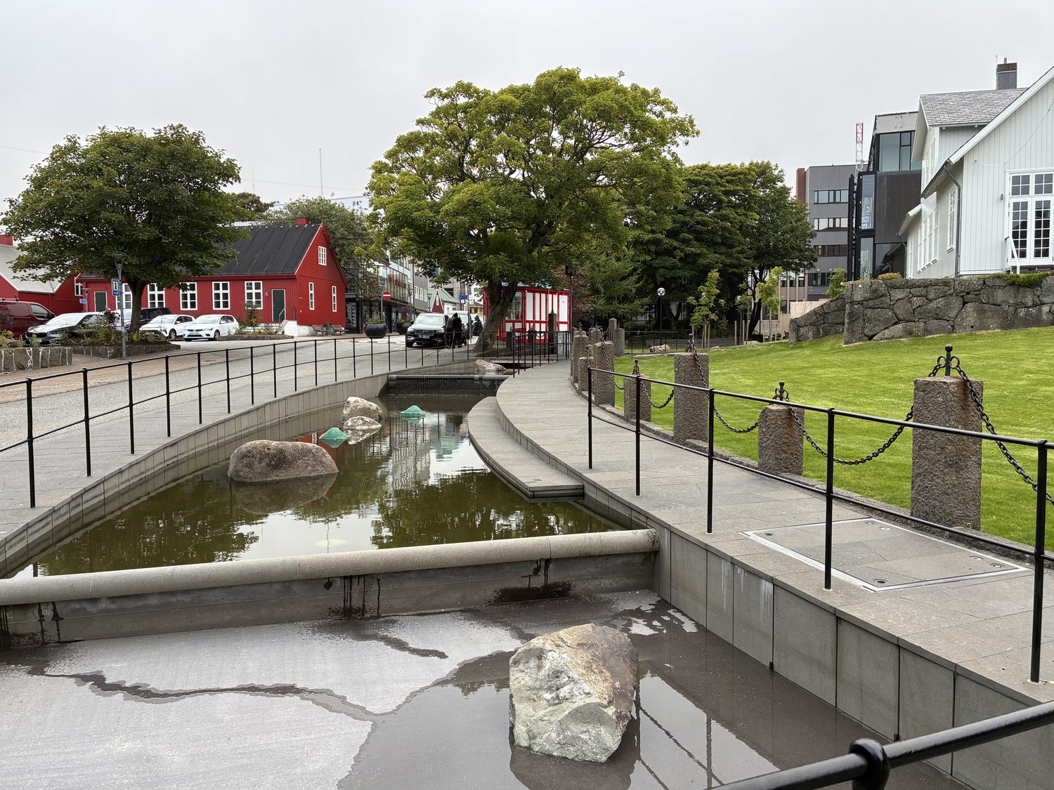
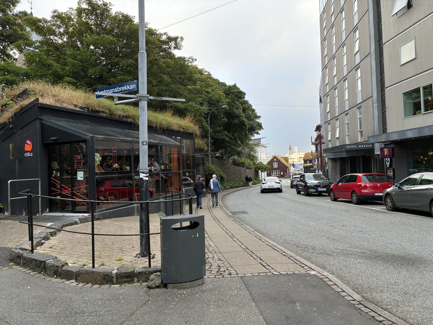
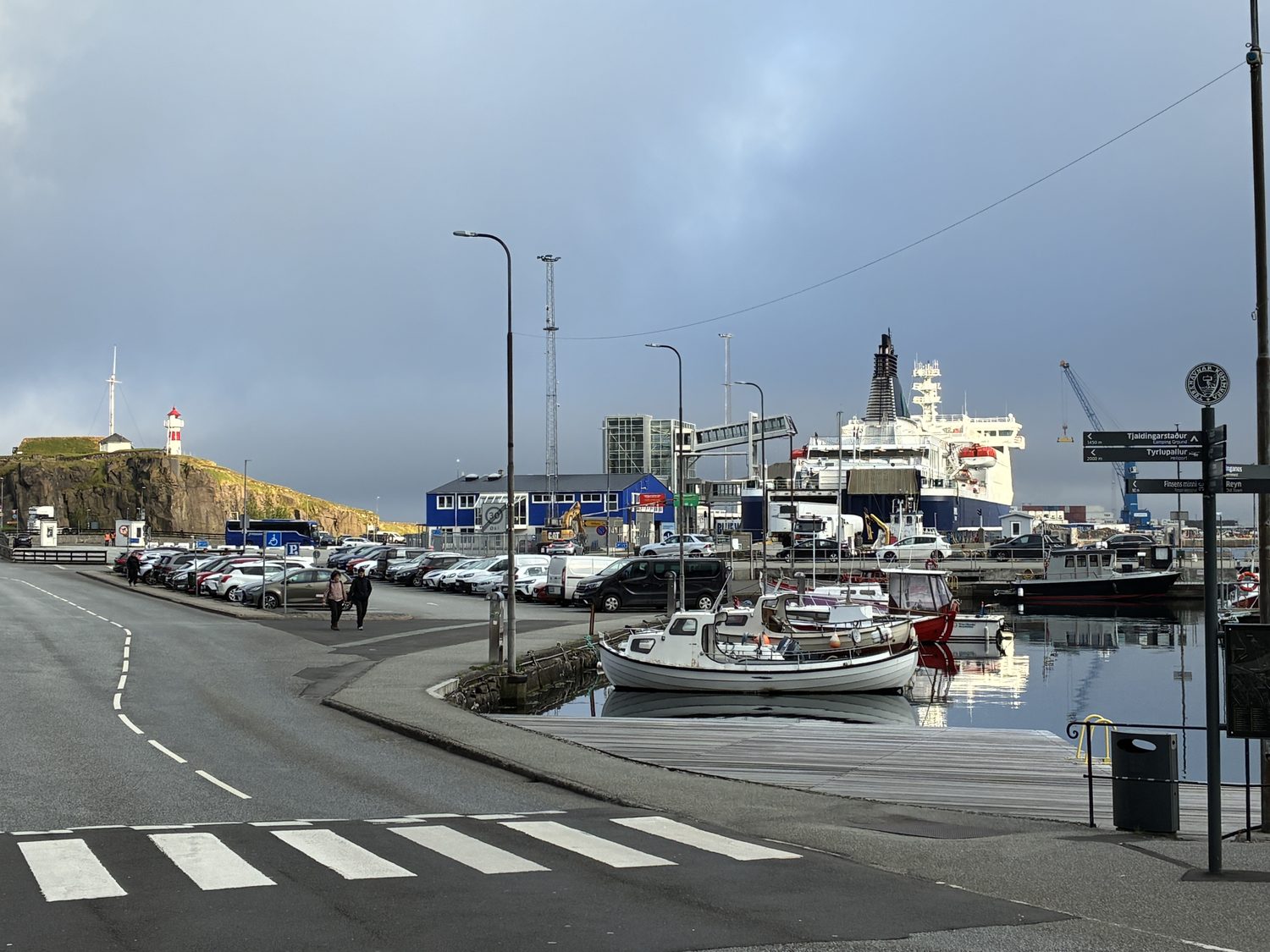
After Saksun, by now late afternoon, we decided to head back to Tórshavn for dinner, arriving in town around 6:30, and got take out sushi (yes, sushi, except it was shrimp, which I do love) and, for me, shrimp tempura from a restuarant recommended by Karis, our airbnb host. We walked around the town a little while waiting for our order, and found Tórshavn to be nice enough and modern small city, but nothing to write home about, a functional Nordic town. Clean streets with public spaces, simple and functional architecture rather than ornate or especially picturesque buildings, a relaxed atmosphere, and practical in appearance, and in Tórshavn’s case, the downtown area built around the harbor and surrounded by the water.
Tomorrow, we’ll head to one of the other islands for a driving tour, I’m guessing much like today. One observation though. Unlike the Highlands of Scotland, or Wales, north and south, or rural England, where there is a great deal of regional variation in the landscape, and even variation within regions, that’s not the case for the Faroes. Of course, this is a small area – Streymoy is just 30 miles from north to south as the crow flies, and maybe 7 or 8 miles across. So, saying the landscape doesn’t change much isn’t really saying much at all, as it’s such a small area. Nevertheless, it becomes difficult to distinguish one area of the island from another – all beautiful, some stunning, lots with the triple wow factors, but not much, if any, variation.
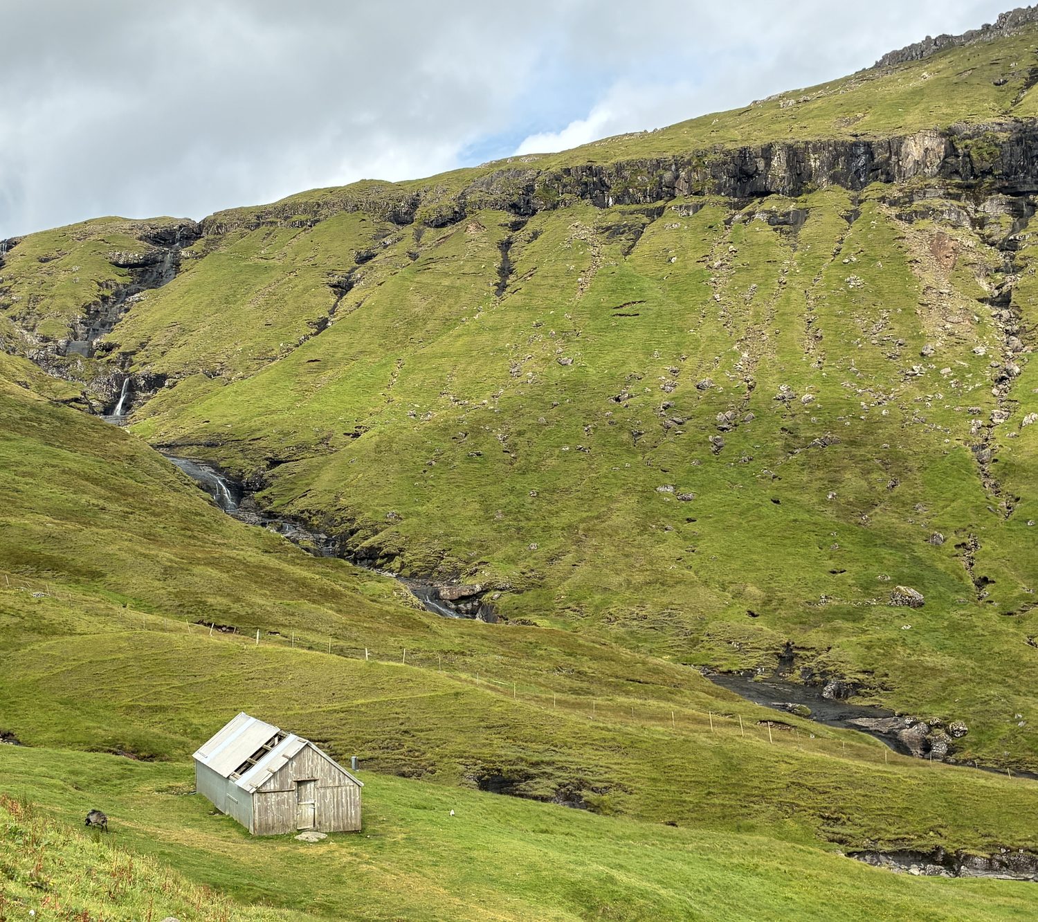
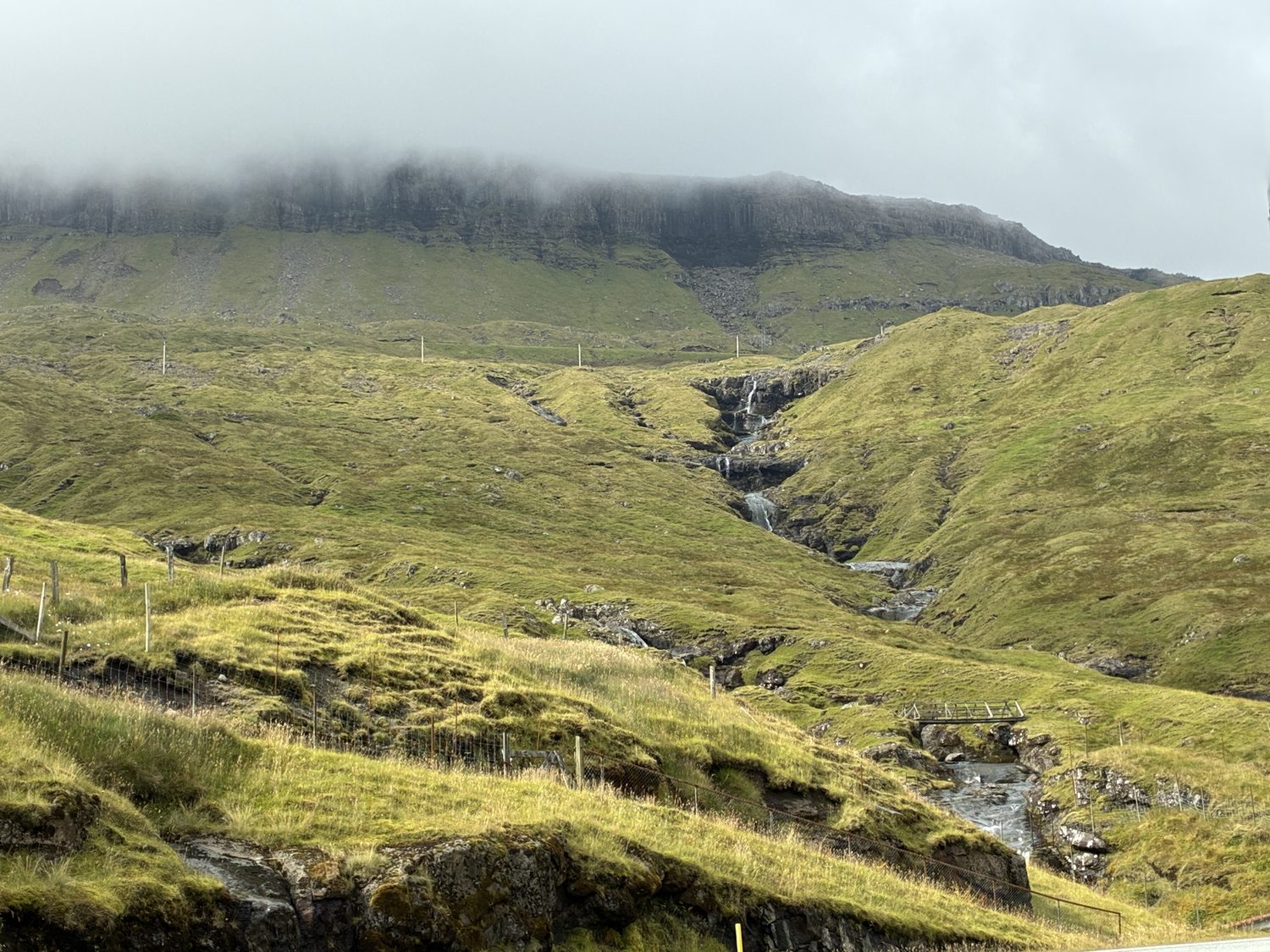
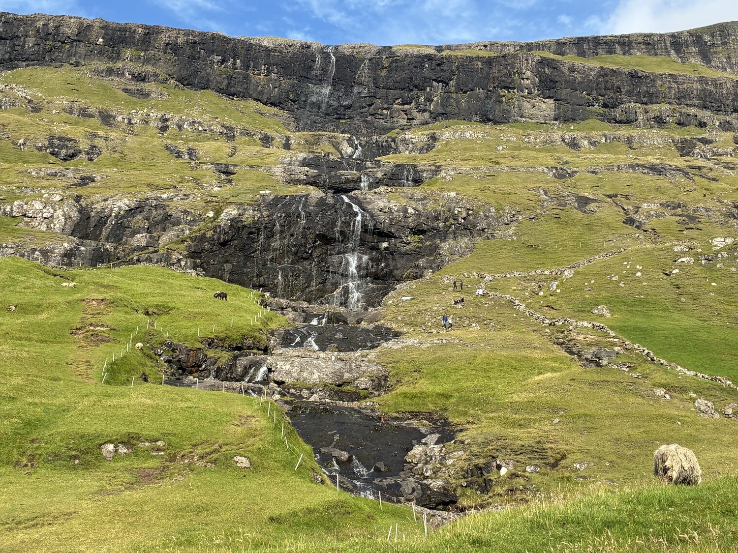
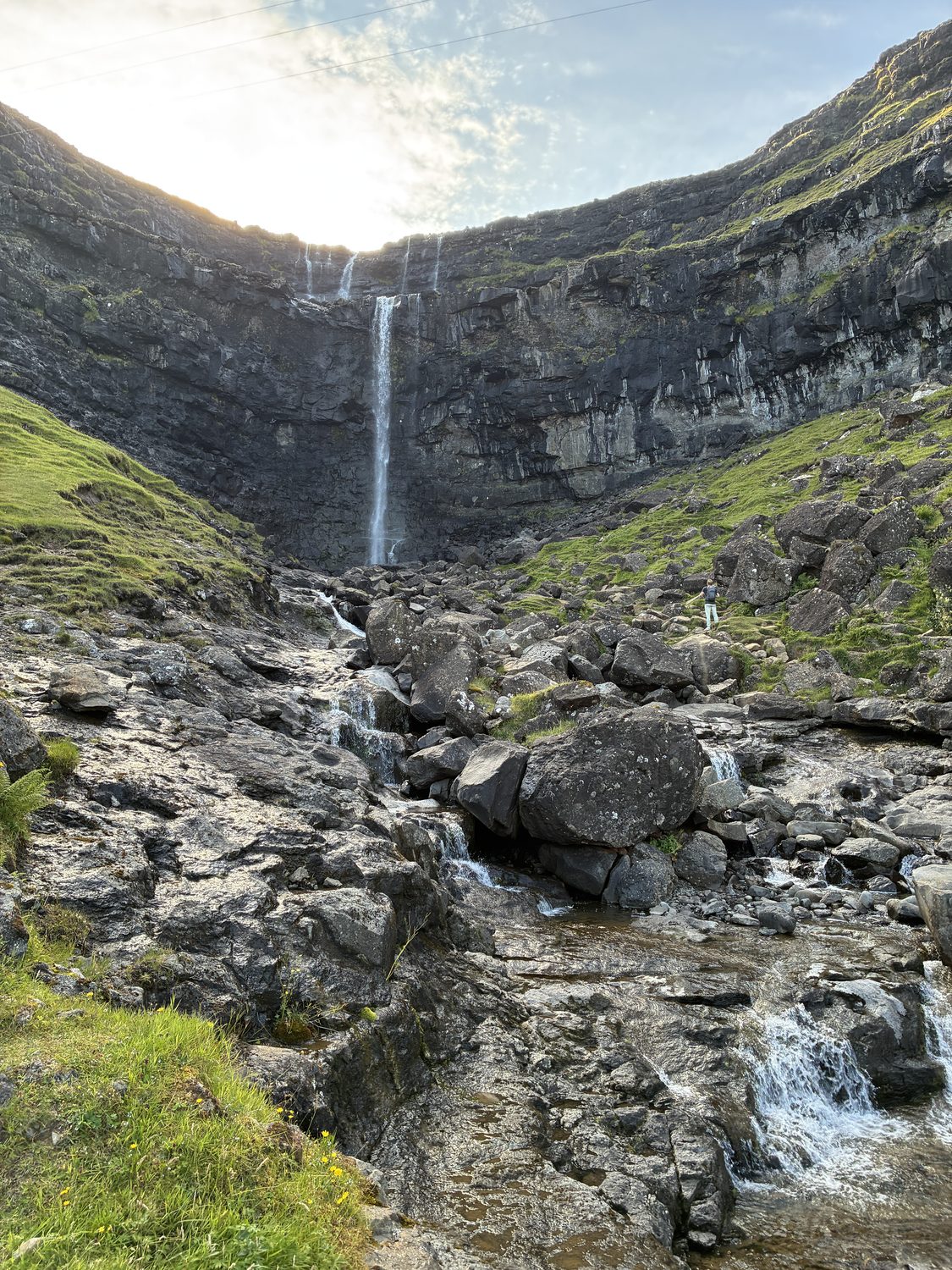
What we did see throughout the day were fabulous shots of the sea and in some cases cliffs and structures rising from the waters; neighboring islands, some close by and some more distant; high hills and mountains surrounding the roads, with distant hills and cloud shrouded mountains behind them; volcanic rocks protruding from the grass covered hillsides and mountains; crevices, gorges, and small waterfalls falling out of the surrounding hills; small dwellings and villages; and in general vast landscapes and seascapes.
We relaxed after dinner (which was pretty damn good), and I didn’t look at my photos or write my blog, as I felt a need to not do anything, and we both hit the sack around 10:30. I was pretty tired, as I definitely didn’t get enough sleep last night, and that was catching up to me. I went out like a light.
On a very sad note, Dolly Parton passed away today. How sad.