From Yellowstone to Billings along the Beartooth Highway.
Today, I’ll be heading back into Yellowstone, but I have to be smart enough to leave by about 3 pm, for the almost 3 hour drive along the incredible Beartooth Highway that runs from the north-eastern entrance of Yellowstone to Billings, Montana, where I’ll be spending the night. I drove this amazing road twice when I was out this way a few years back.
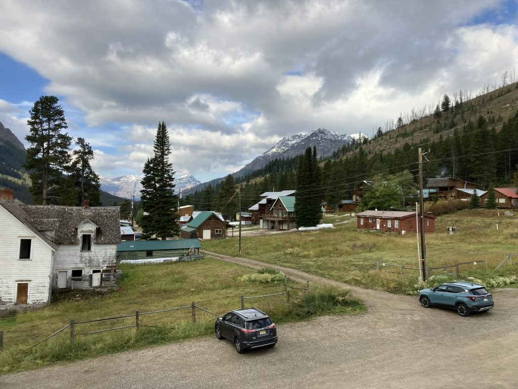
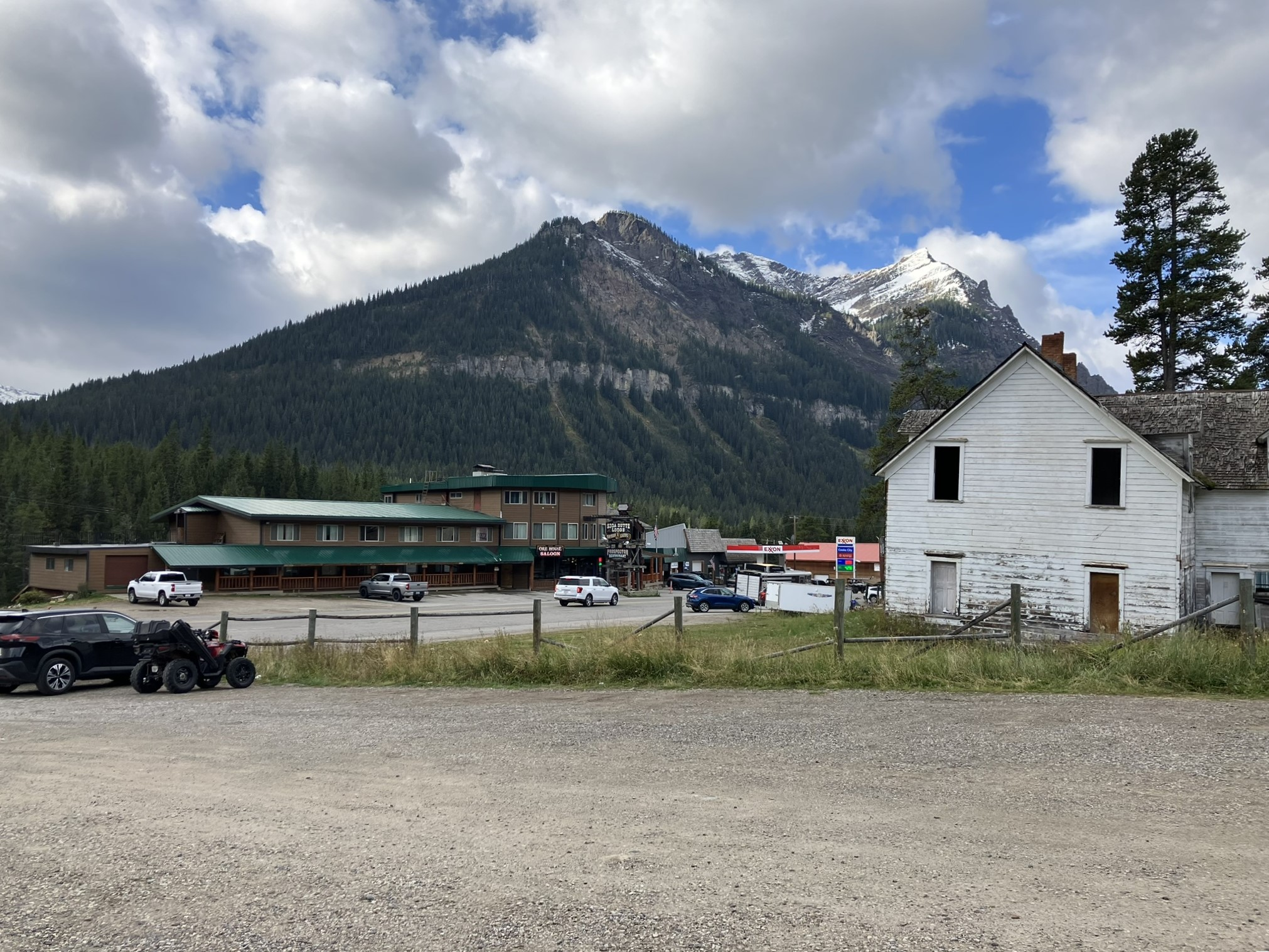
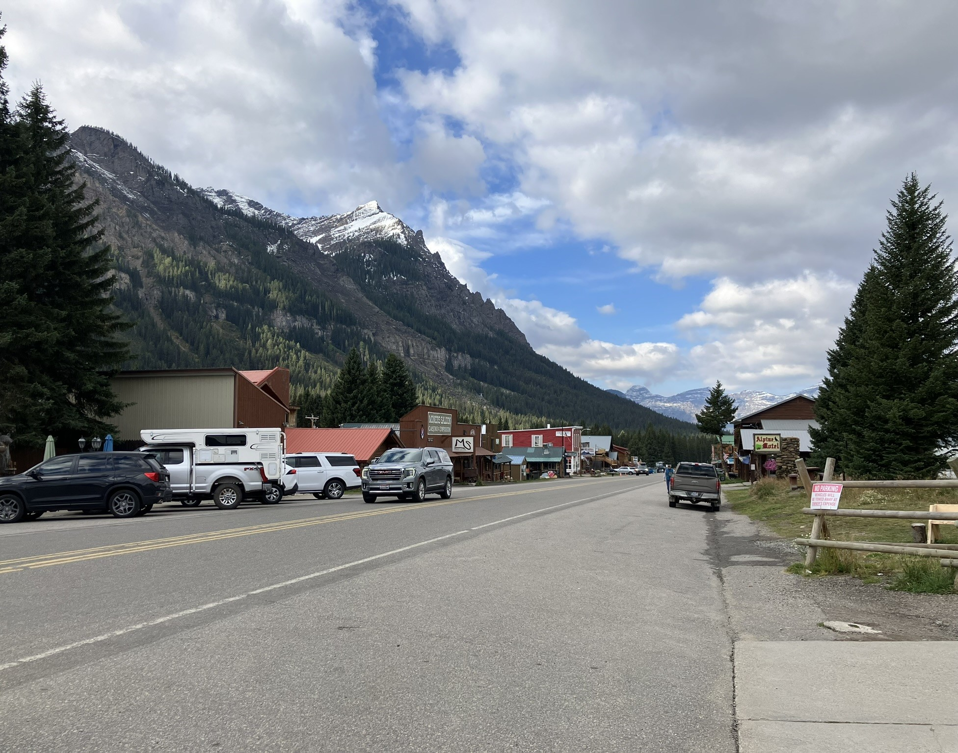
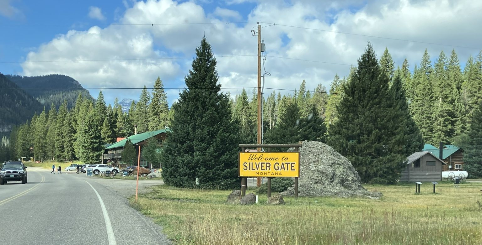
Another lovely day, with good weather, ranging between high 50s and mid 60s. Cooke City is a very small town with expensive accommodations, because it’s only 4 miles outside of the northeastern entrance to Yellowstone, but it has great views, including from my bedroom window. There’s not much to the town, and even less of a town just down the road at the town Silver Gate, immediately outside of the park… but, of course, also expensive when it comes to accommodation. Cooke City has a population of about 80, and Silver Gate about 115 people. Whew.
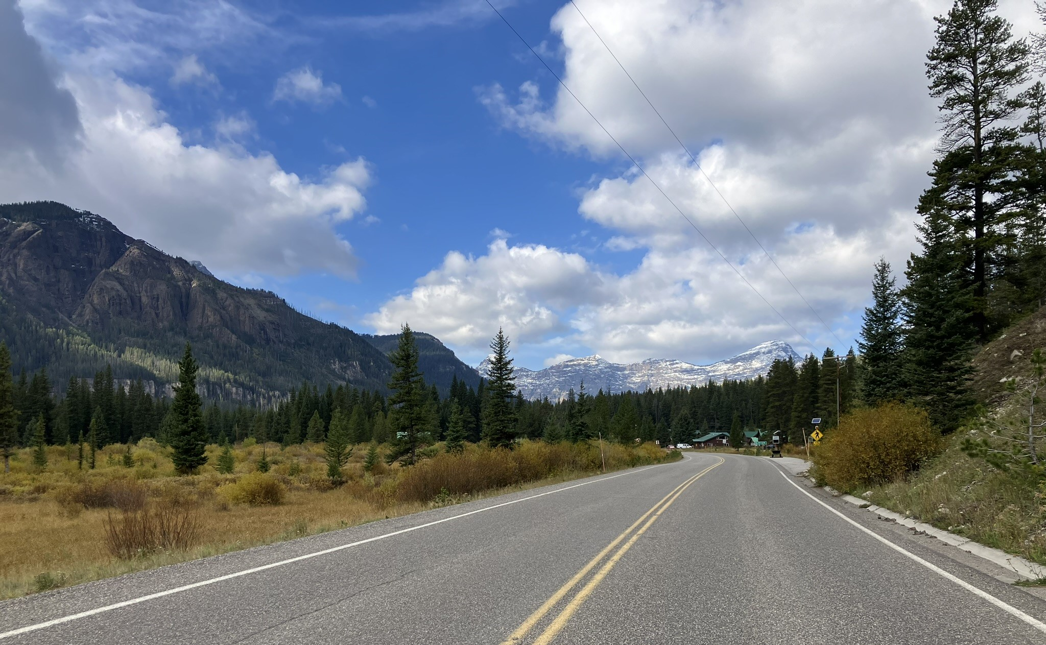
I headed west into the park, which is the only option, and turned south upon reaching the Grand Loop, retracing my steps from yesterday, but going in the opposite direction. Today, I wanted to visit the Grand Canyon of Yellowstone, which has a couple of waterfalls off the Yellowstone River. Along the first 33 mile stretch, before reaching the Grand Loop, I again saw lots of small herds of bison grazing alongside the roads and on the plains, but also saw a small group of pronghorn antelope just off the roadway, although without chasing them into their grazing area it was difficult to get good shots. These are two-tone antelopes, with large light tan patches against darker brown fur.
It’s really a thrill to see bison, elk, pronghorns, bighorn sheeps, and the other animals I’ve seen along the way, in a natural environment. Wish I could see a bear or two, although as Kaye points out, they’re all over the place, but I just don’t see them, and I wouldn’t want to meet one on the trail. In fact, especially in Grand Teton, there are bear warning signs all over the place. Later, when I was walking the north rim wooded trail alone, I thought about those incidents where hikers are confronted and stalked by mountain lions and bear, and in that case I was very happy I didn’t see either.
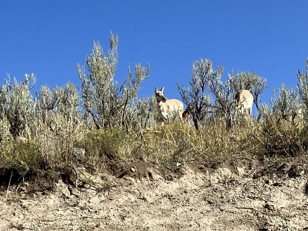
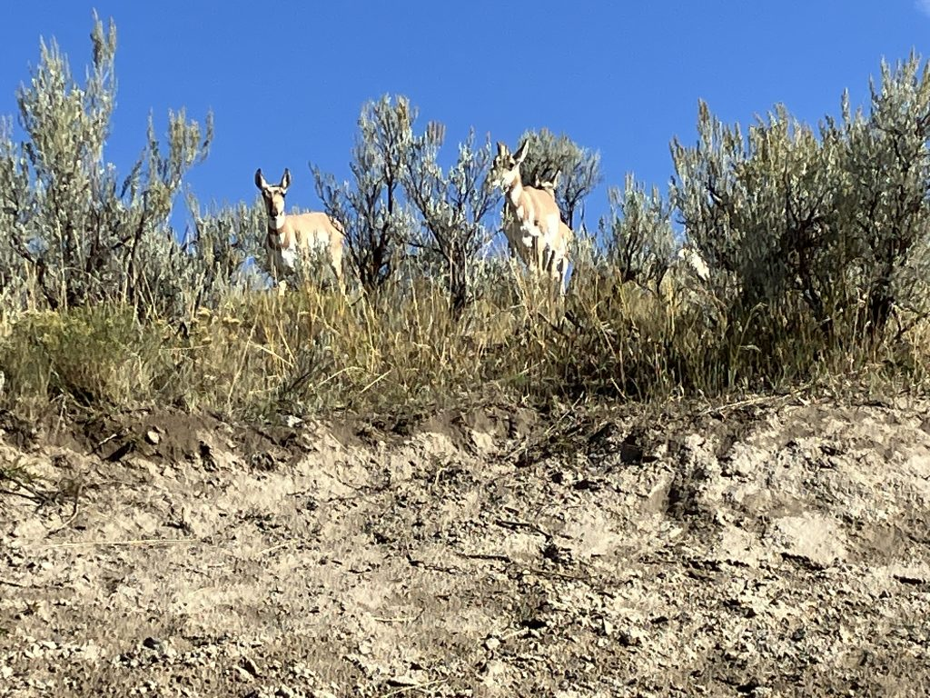
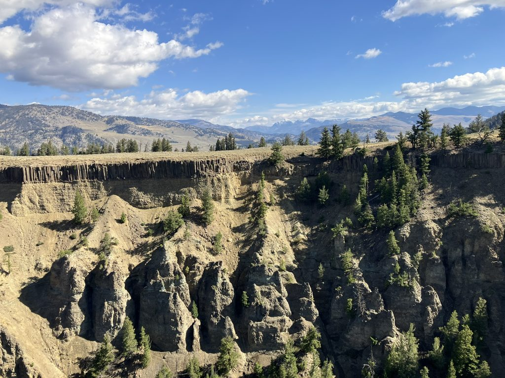
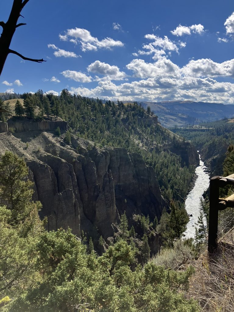
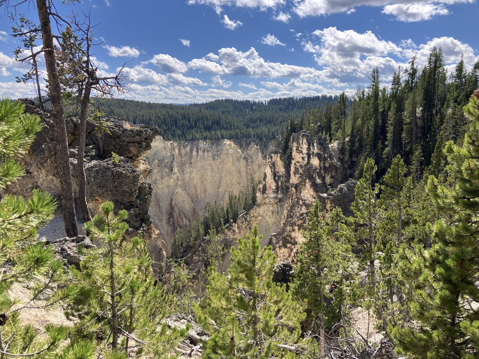
Once on the grand loop road heading south, I took another look at the wonderful Calcite Springs, and the Yellowstone River in the canyon below, and then moved further south to the Grand Canyon of the Yellowstone, where the river continues to flow, and has two waterfalls. Today my choice of music was lovely classical music, which provided good accompaniment to the wonderful scenery.
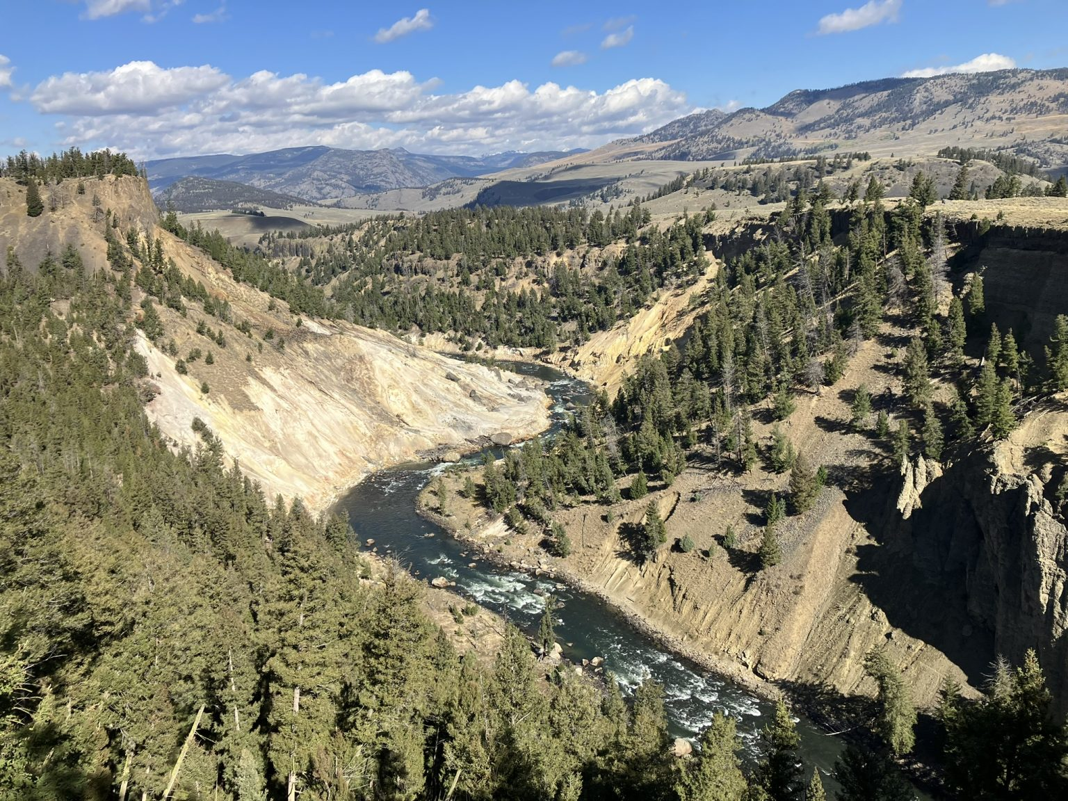
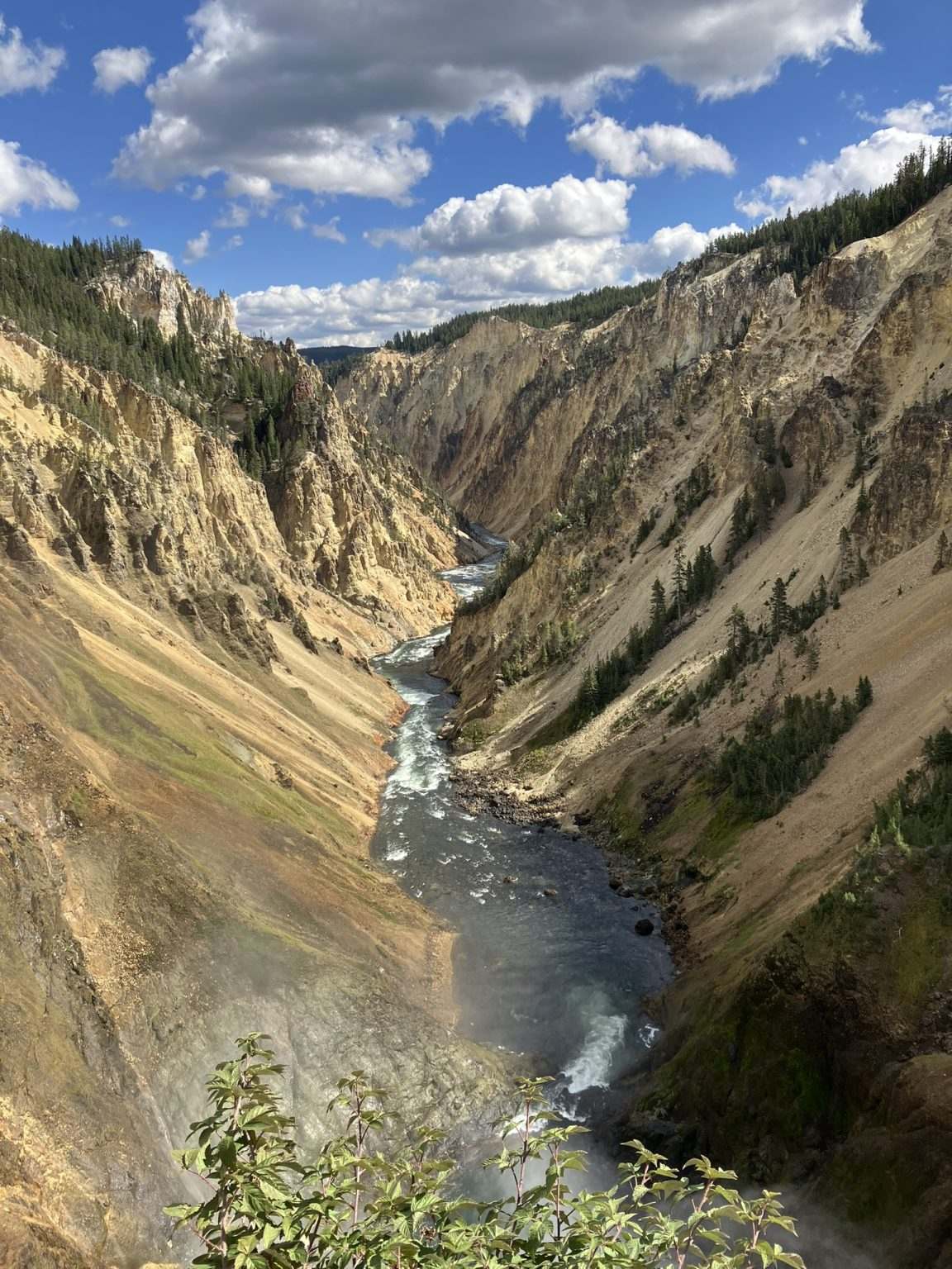
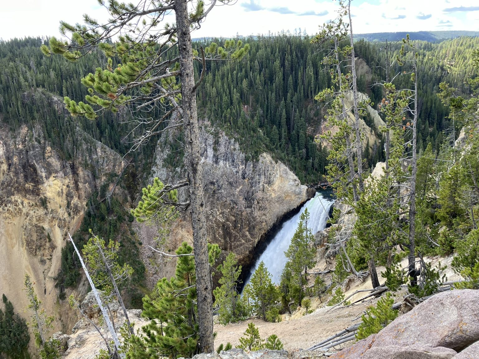
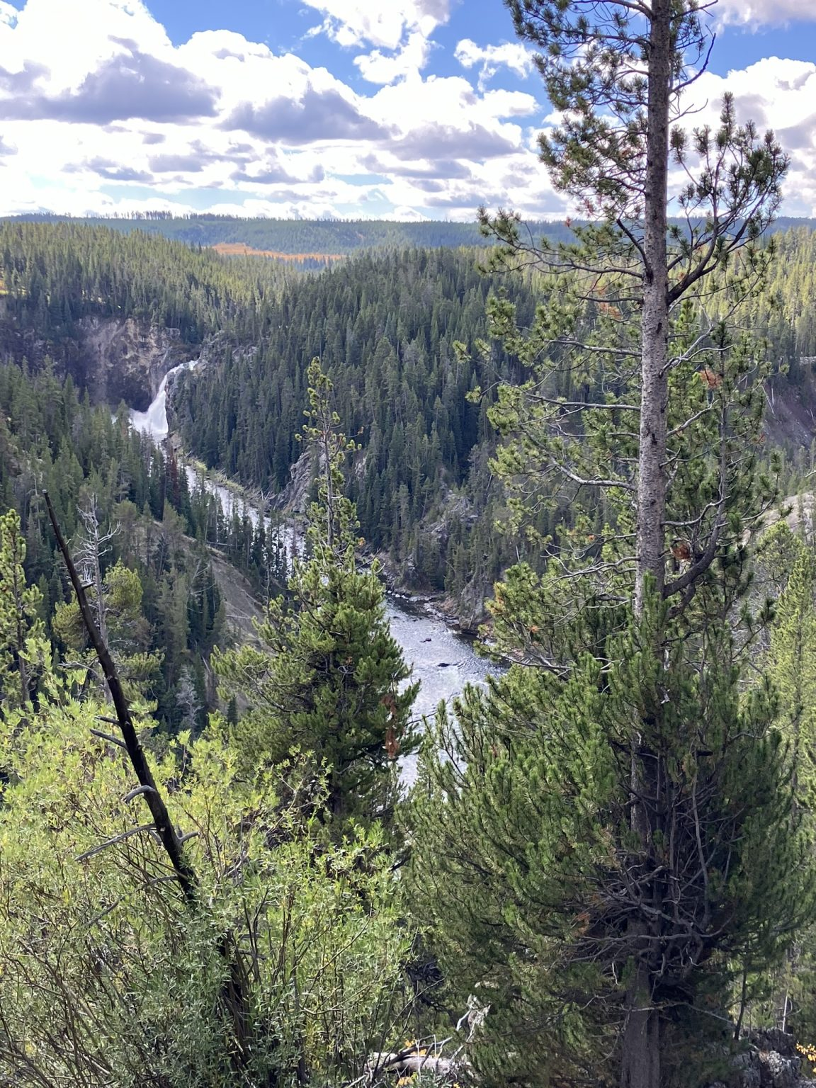
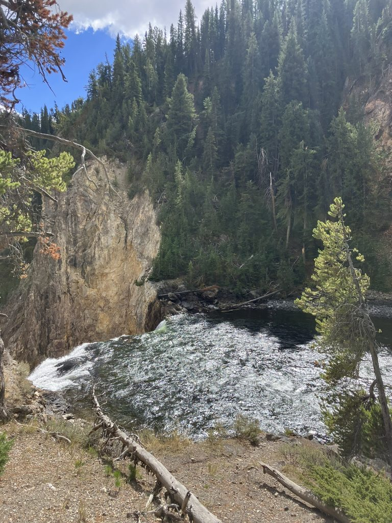
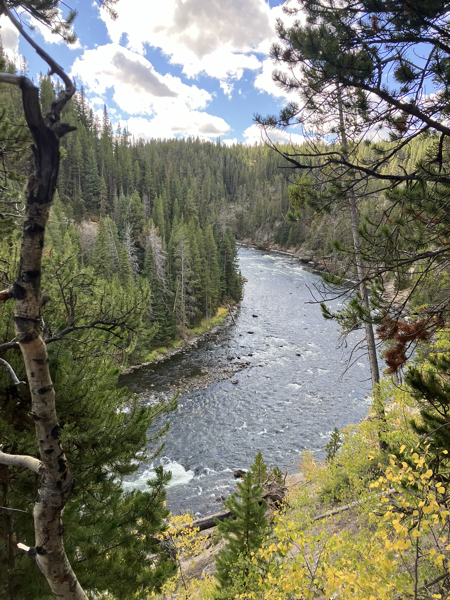
At the north rim, there’s a pretty steep and meandering trail that takes you right down to the river and lower waterfall, about half a mile below, with wonderful views of the river and the falls. Getting down takes a while, but although steep is pretty simple. Getting back up is huff and puff.
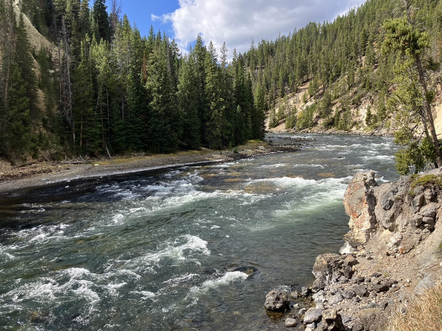
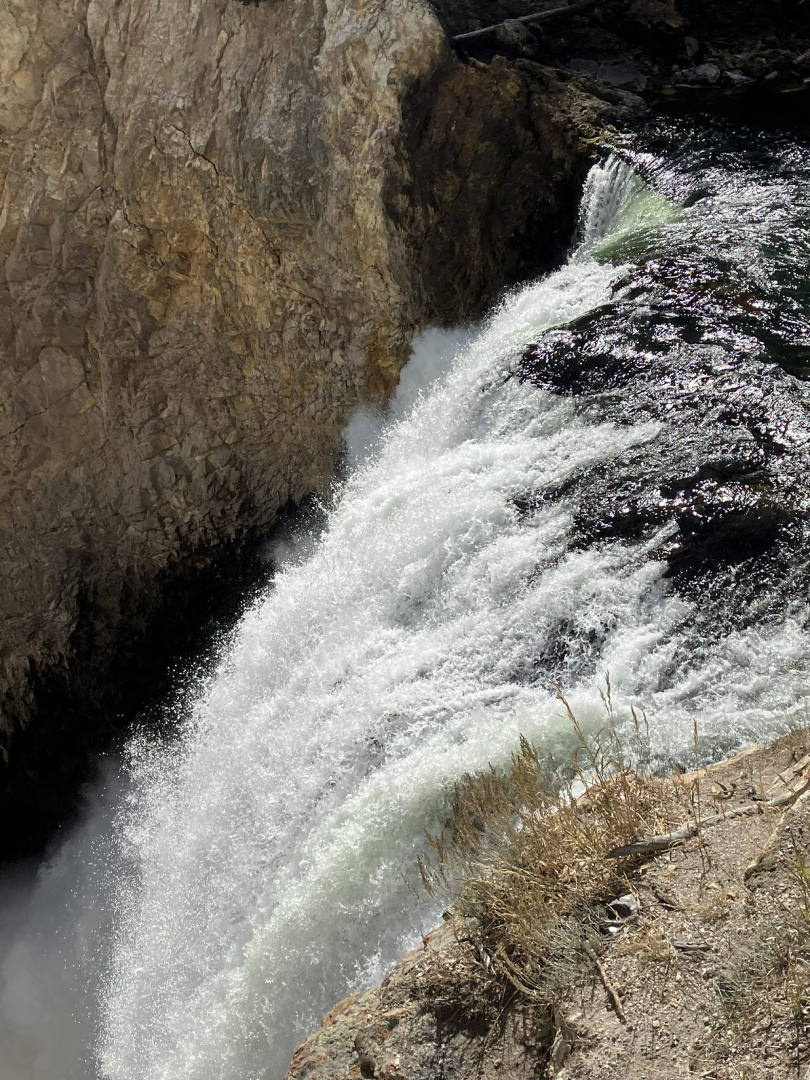
Walking back up from the lower falls, near the top, there’s a turnoff for the North Rim upper and lower trail, which I took. All in all, starting at the top of the north rim, heading down to the lower falls and back up, and then taking the trail, the round trip hike was about 4 miles, walking mostly through forest and then alongside the Yellowstone River, across the old Canyon Bridge, and to the Chittenden Bridge before turning back. Lovely walk, with not too many other hikers along the way.
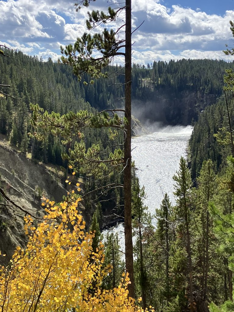
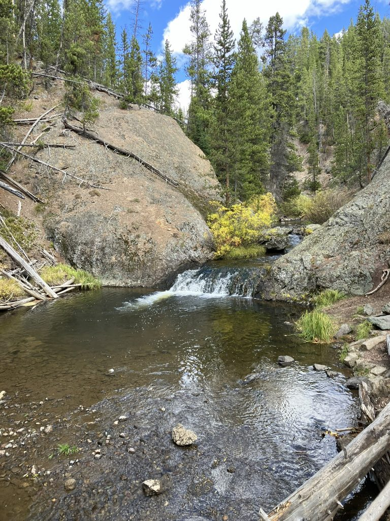
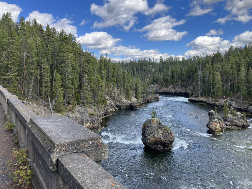
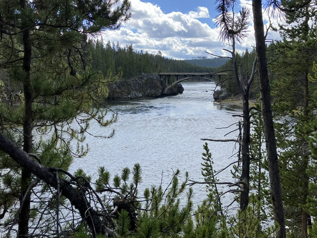
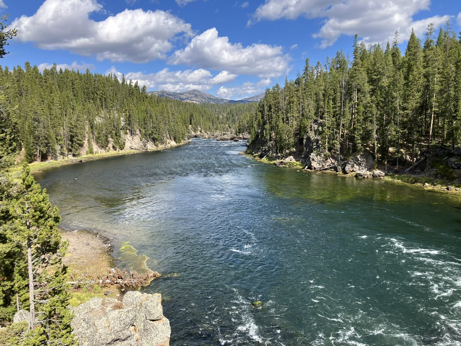
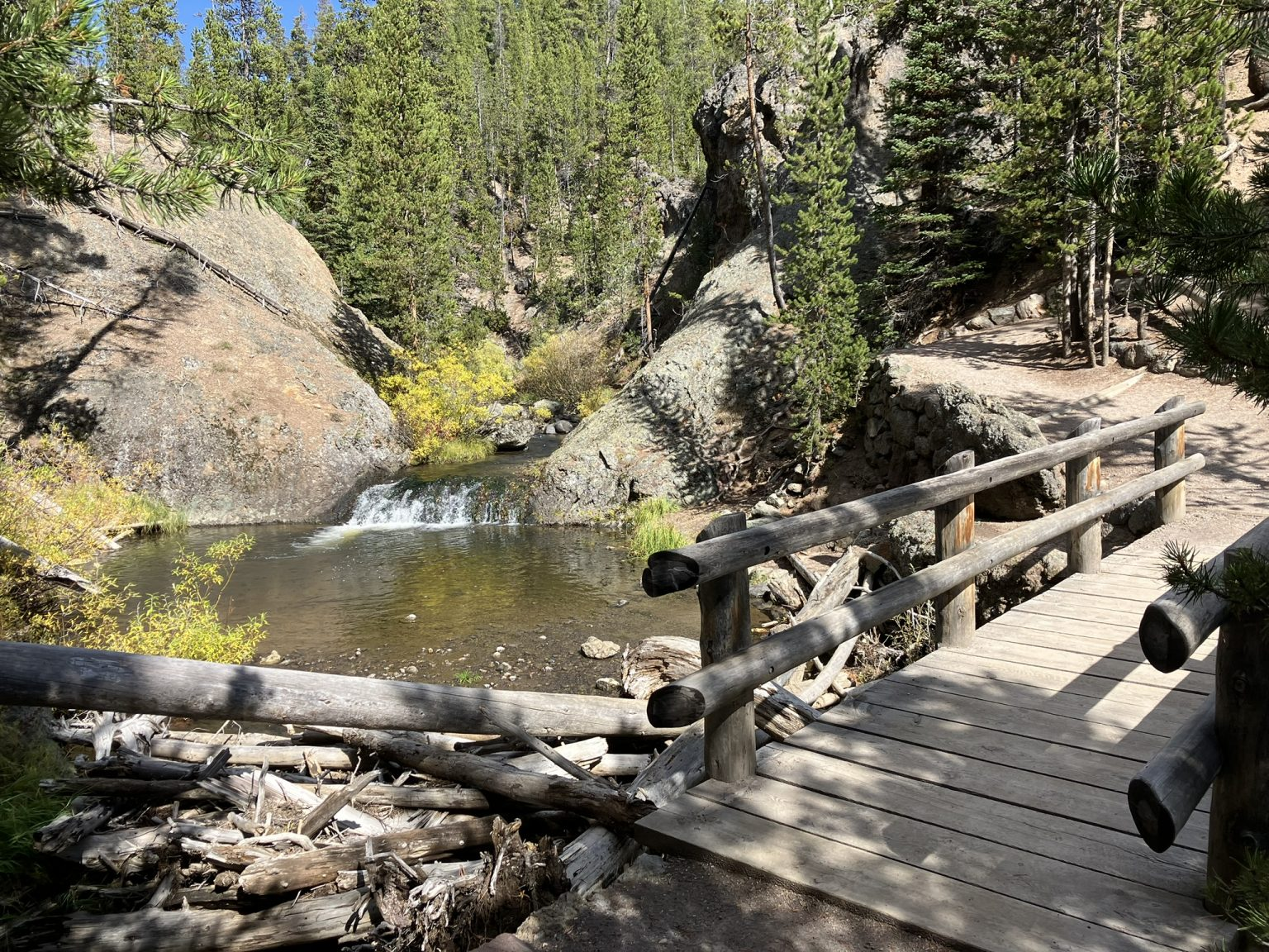
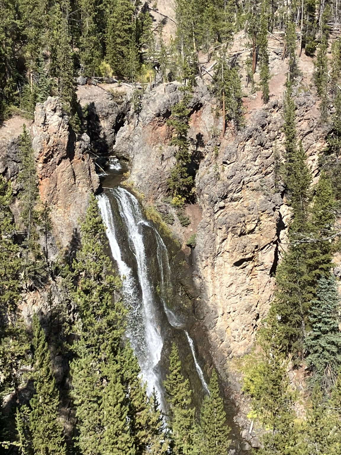
By now, of course, I was running out of time if I wanted to exit the park by 3 in order to drive the mountainous Beartooth Highway, and not worry about it getting dark in the mountains along the way. But I couldn’t leave, and wanted to at least visit Mammoth Hot Springs before exiting. The problem is, even though the distances are not great, maybe 30 miles from where I was, the drive is slow going through the park, so everything takes longer than you might think.
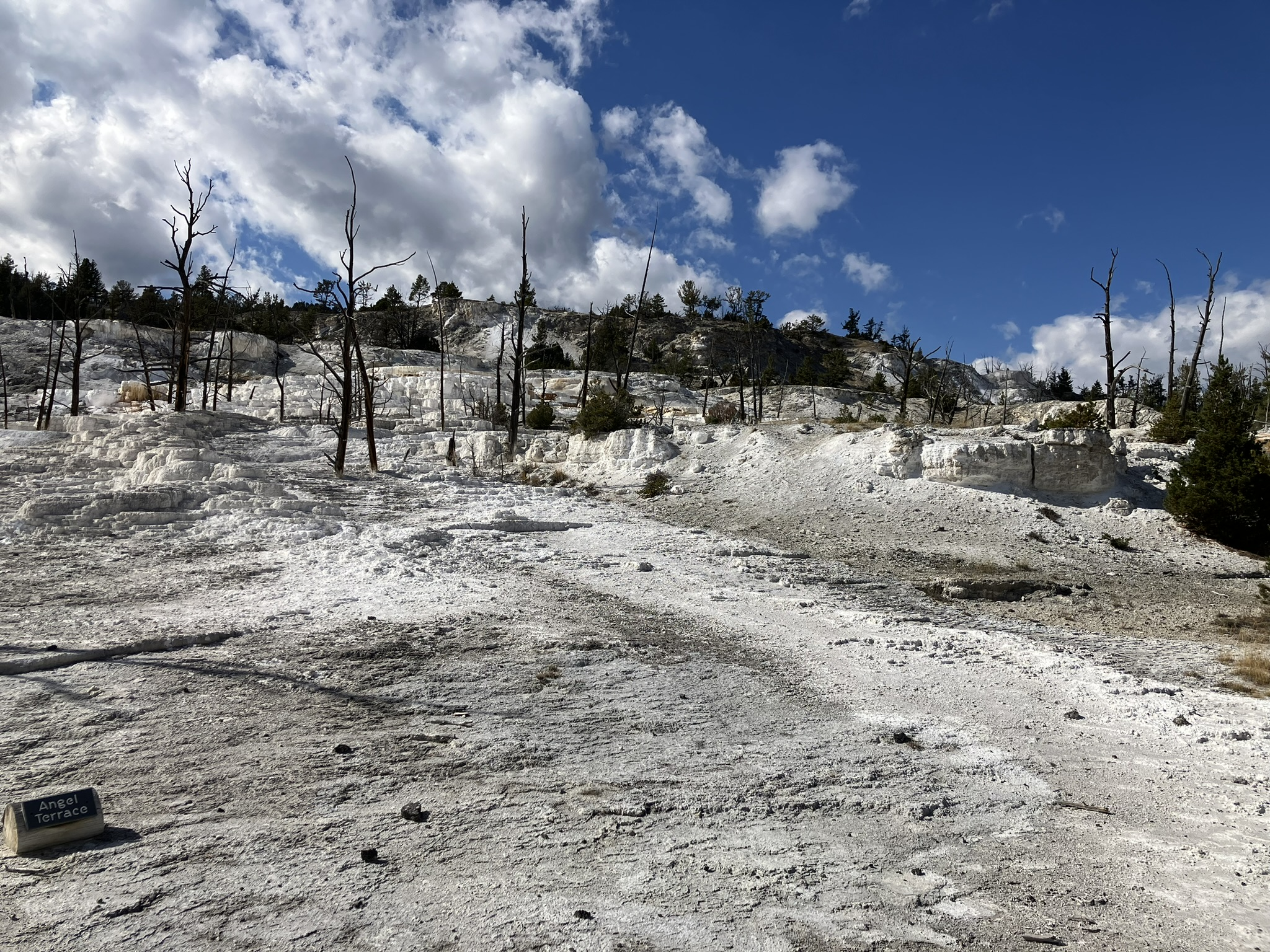
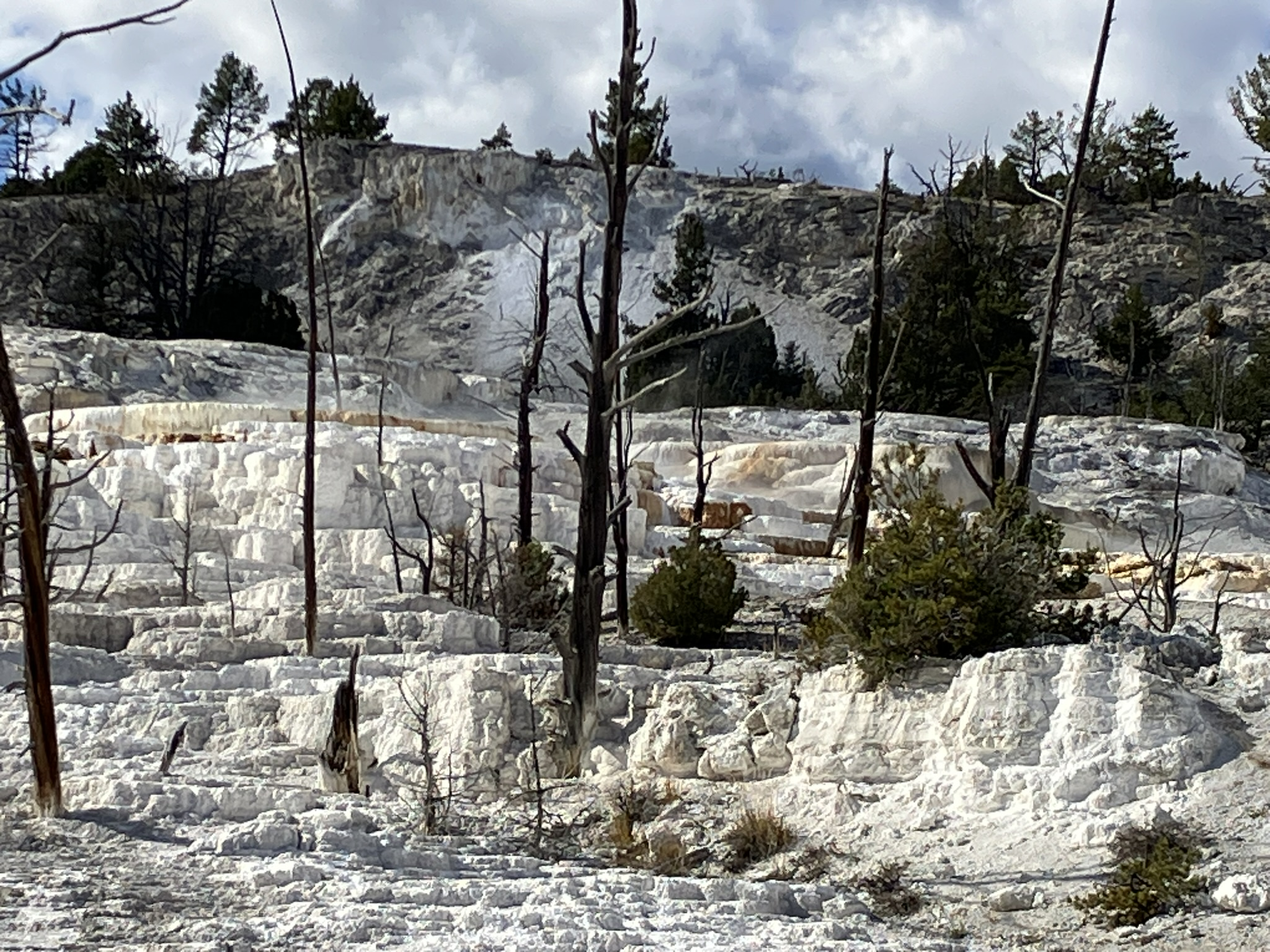
I visited Mammoth Springs and the natural spas spewing steam and sulphur the last time I was here, but wanted to at least drive by today, which I did. I realize that the way do do the park, or any of the national parks for that matter, is to allow at least three days, and each day just focus on one or two areas, and especially in a park as large as Yellowstone. Had I not already booked myself a room for the night in Billings, I would have stayed another day.
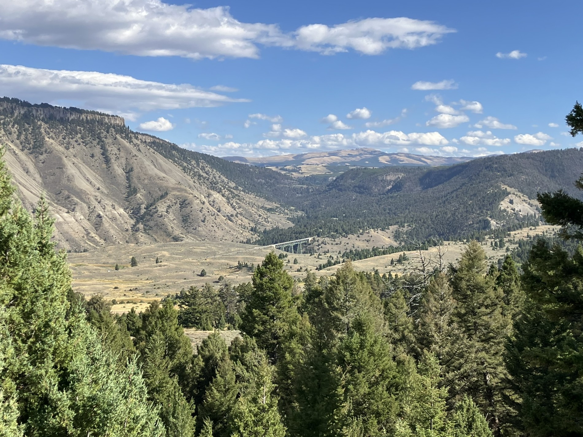
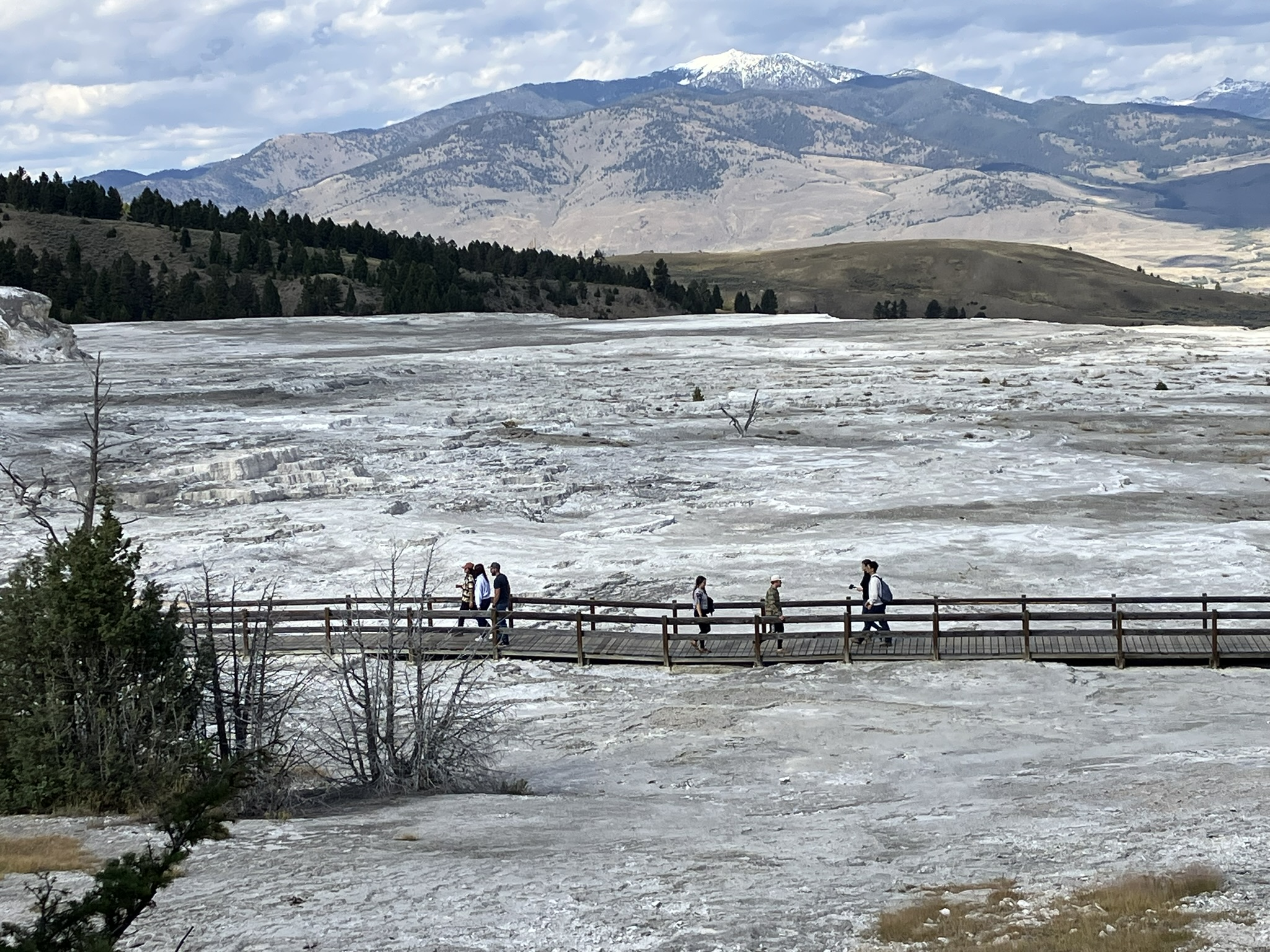
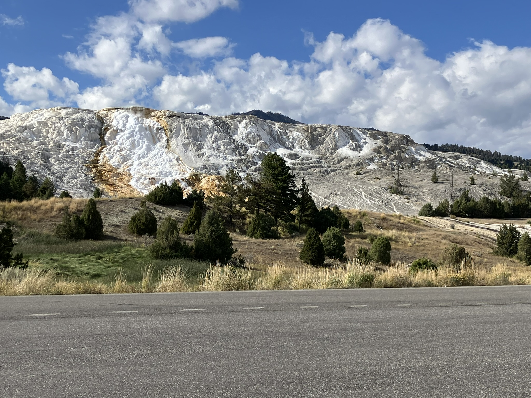
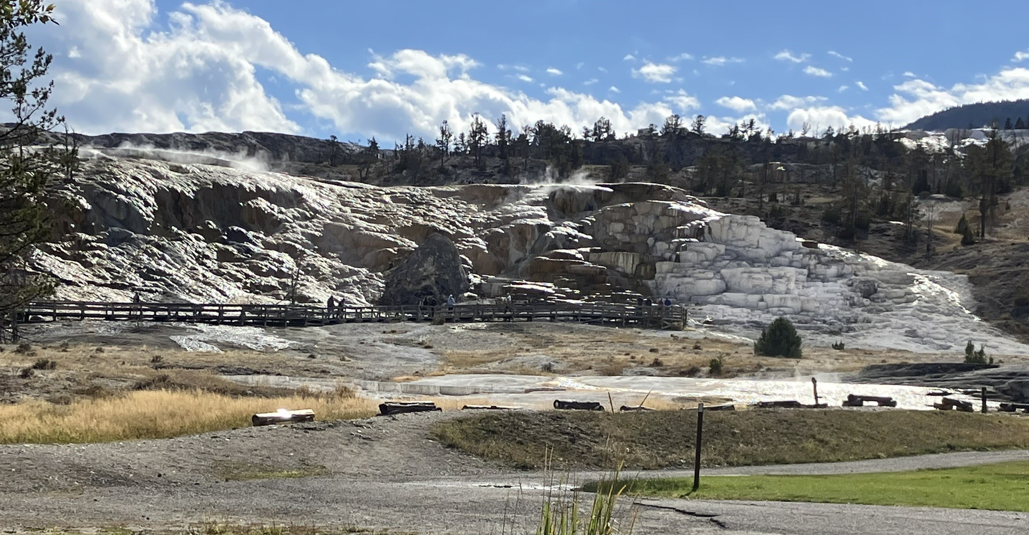
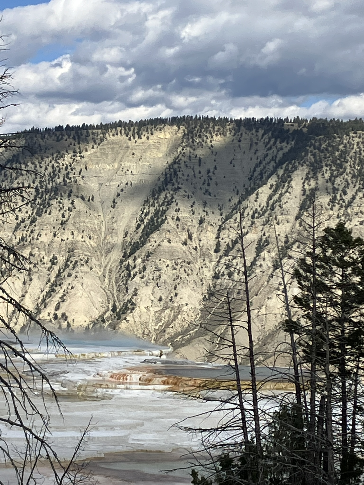
Needless to say, but I’ll say it anyway, I didn’t leave the park by 3, and actually not until about 4:30, with a slow moving 53 miles between Mammoth and the northeast exit, and from there another 2½ miles on the Beartooth Highway, across Beartooth Pass, to Billings.
As I couldn’t load Google Maps (no signal in the park, although there is a weak signal in the Mammoth Springs area, as there’s a large hotel, restaurant, and administrative buildings there), and my car’s GPS can’t figure out the park, wanting to completely misroute me, I almost got lost trying to get out, but thankfully knew enough about the park at this point to realize I was heading the wrong way, and didn’t go too far out of my way.
My main concern was not the map, as I knew that Beartooth Highway, route 212, starts in Cooke City and goes all the way through to Billings, so no map is really needed at that point. My concern was it would get dark with me in mountains, as the drive is over 2½ hours, covering about 125 miles, and it was getting late in the day. Plus, the Beartooth Pass was recently closed due to snow, although was now open, and I didn’t know what kind of conditions I might encounter passing through the Absaroka and Beartooth Mountains.
Turns out, there was no need to worry because the really thrilling and gorgeous part of the Beartooth, which rises to almost 11,000 feet and across winding mountain roads, takes perhaps 90 minutes, giving me plenty of time to clear the mountain pass before dusk started to fall. The remainder of the Beartooth, about an hour plus from Billings, is pretty standard, passing through a number of small towns along the way.
But, that said, that first 90 minutes was spectacular. Indeed, the Beartooth Highway is sometimes called the “most beautiful drive in America,” and for good reason. As I drove, the road got steeper and steeper, rising higher and winding into the mountains, eventually reaching the snow line. Mostly melted now, there was still plenty of snow spread around, with majestic views of all sorts along the way, including the alpine Beartooth Lake, at almost 9,000 feet, high in the mountains, and spectacular and ever changing views below, seen from the winding and dangerous road. I definitely wouldn’t want to drive it in the snow (which is why it was recently closed) or at night.
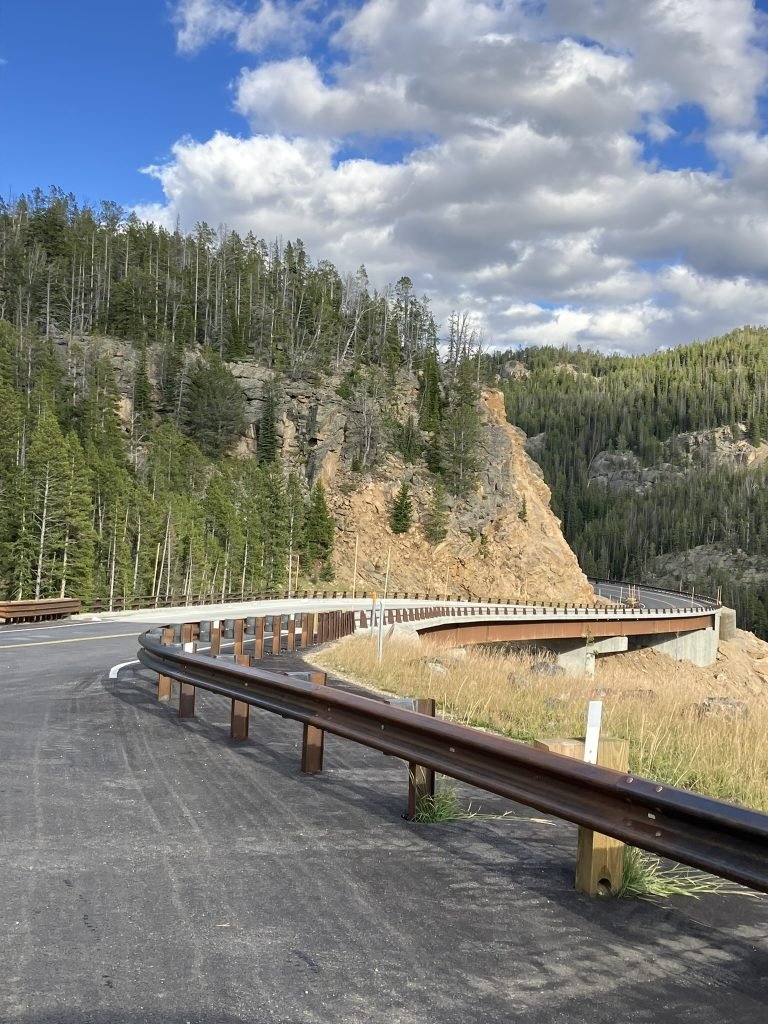
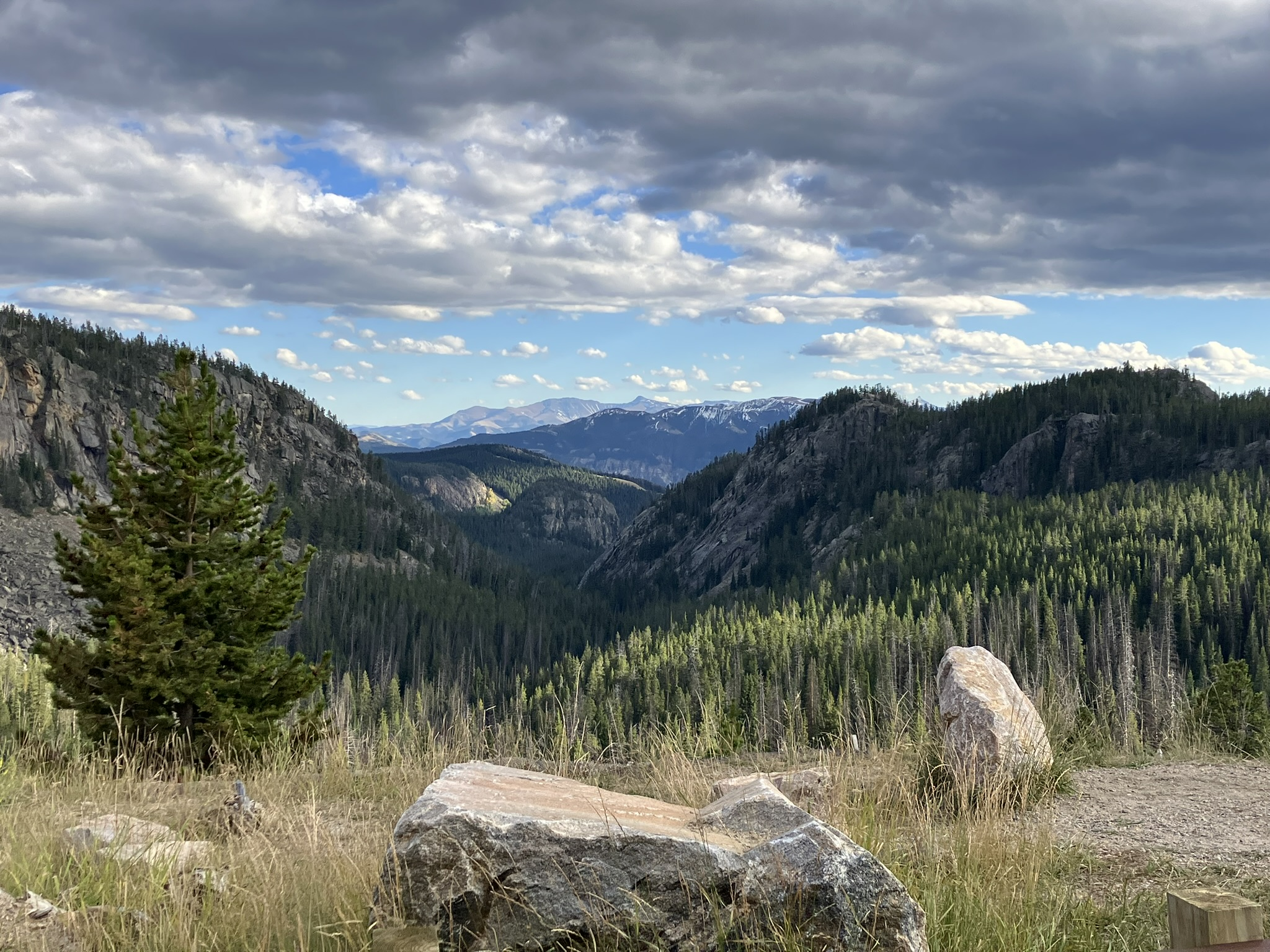
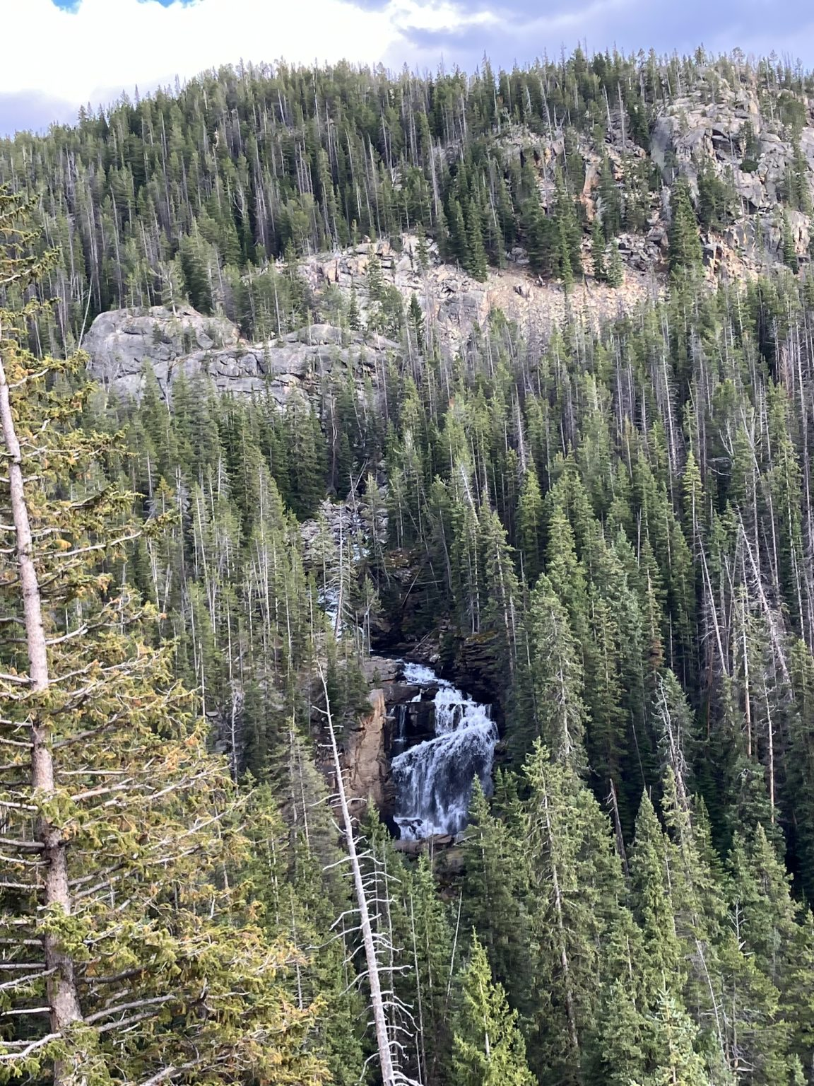
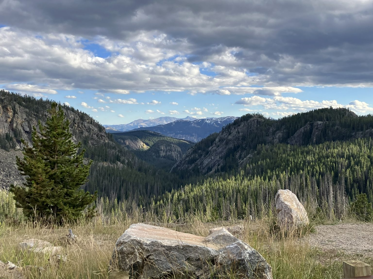
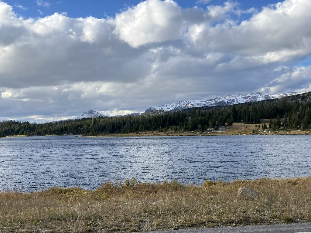

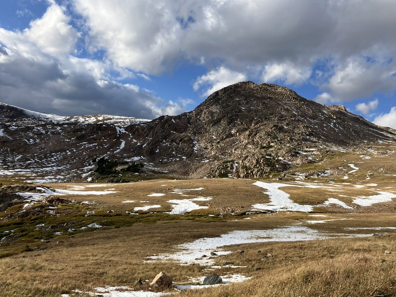
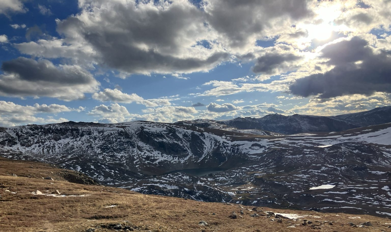
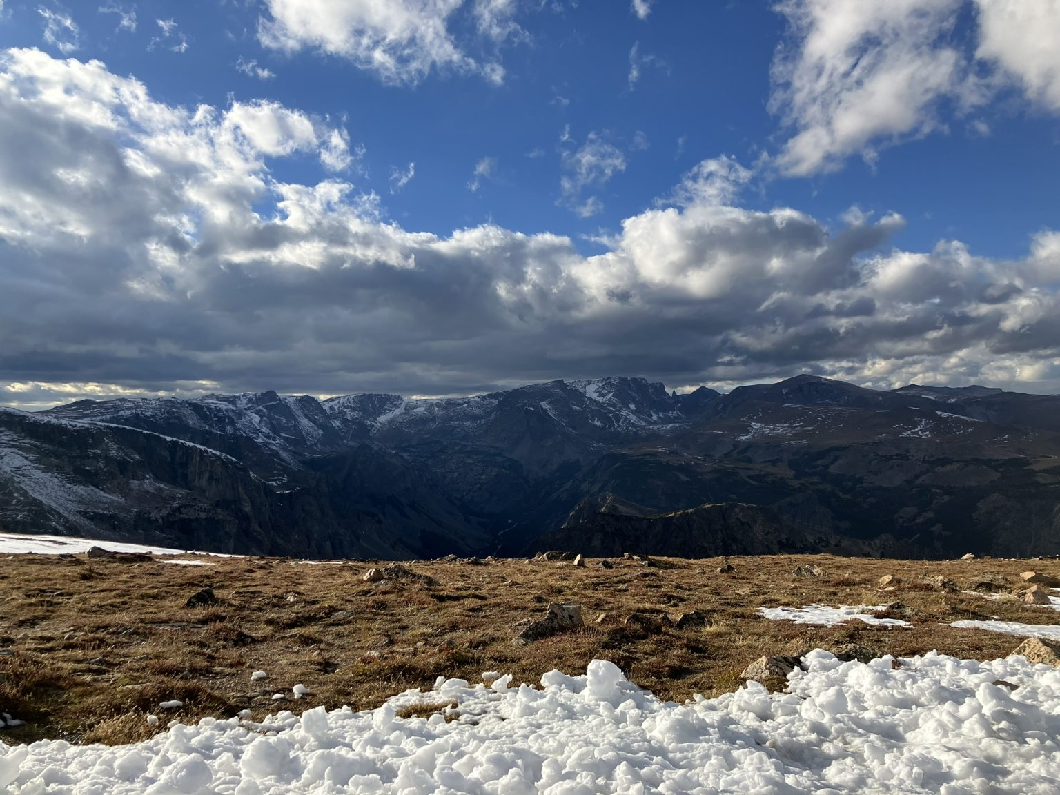
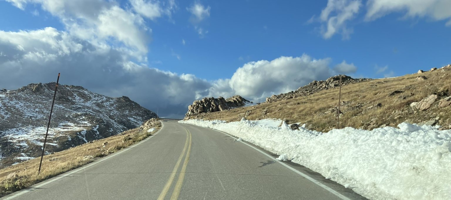
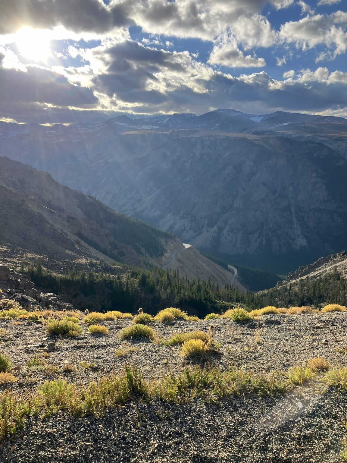
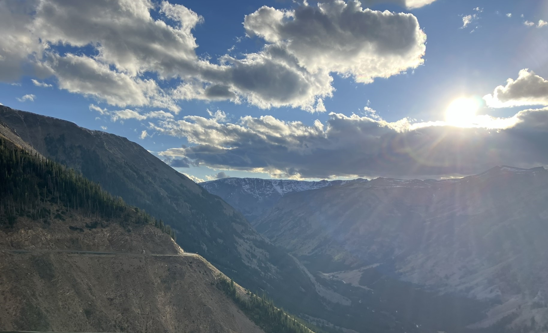
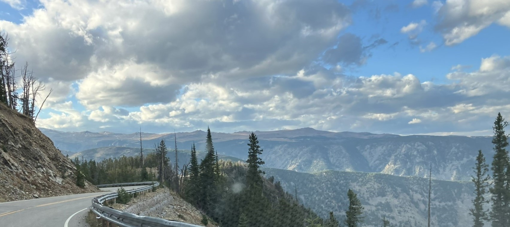
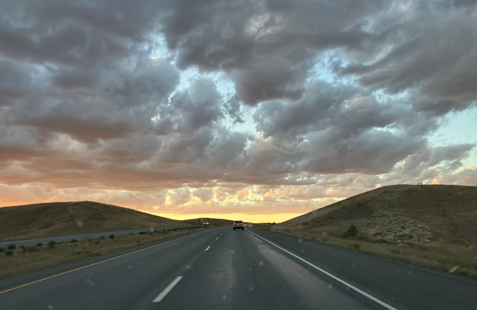
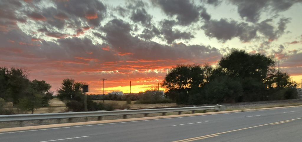
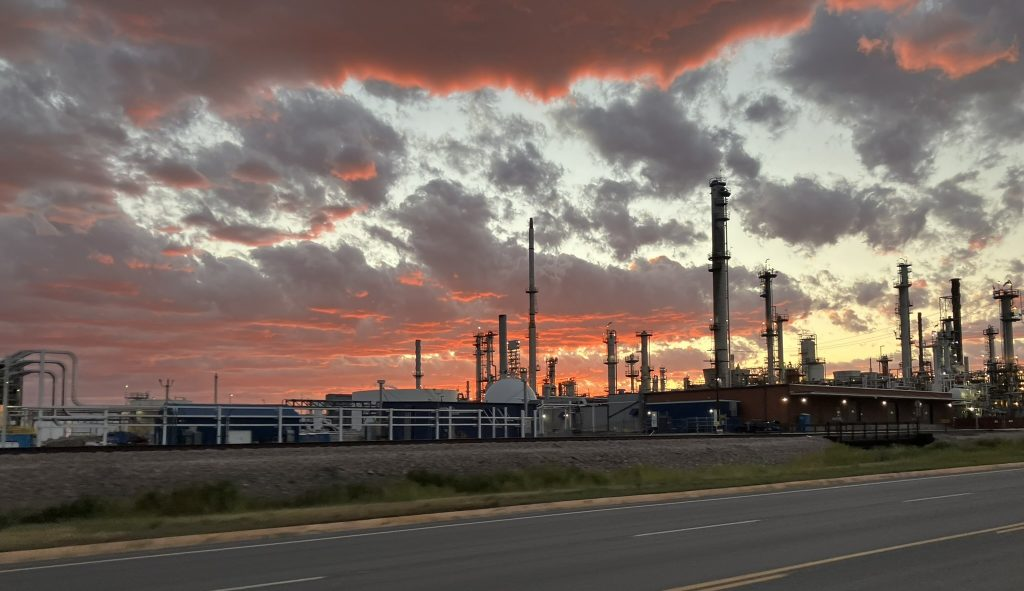
And then I was off the mountain, following that spectacular drive, and all that remained was the final hour along route 212, which is still the Beartooth Highway. As I neared Billings, I saw a lovely sunset.
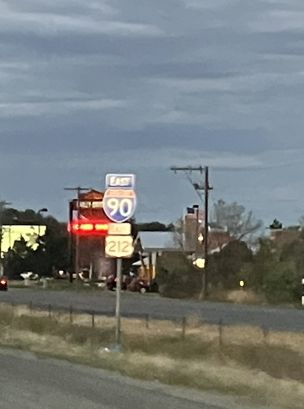
Pulling into Billings, I got on Interstate 90, heading east. Yes, Interstate 90… that’s the Massachusetts Turnpike, except the other end of it. Now if I only keep driving east, and don’t get off, I’ll wind up in Boston.
Before I got to my hotel, I checked in on a prescription that was meant to get called in this morning to a local pharmacy by my doctor’s office. Of course, no surprise, it had not been called in after all. A couple of calls to the on-call took care of that, even though by now it was pretty late in the evening in Amherst, and things worked out. Good thing I’m a persistent fellow (although some would describe me in a different way).
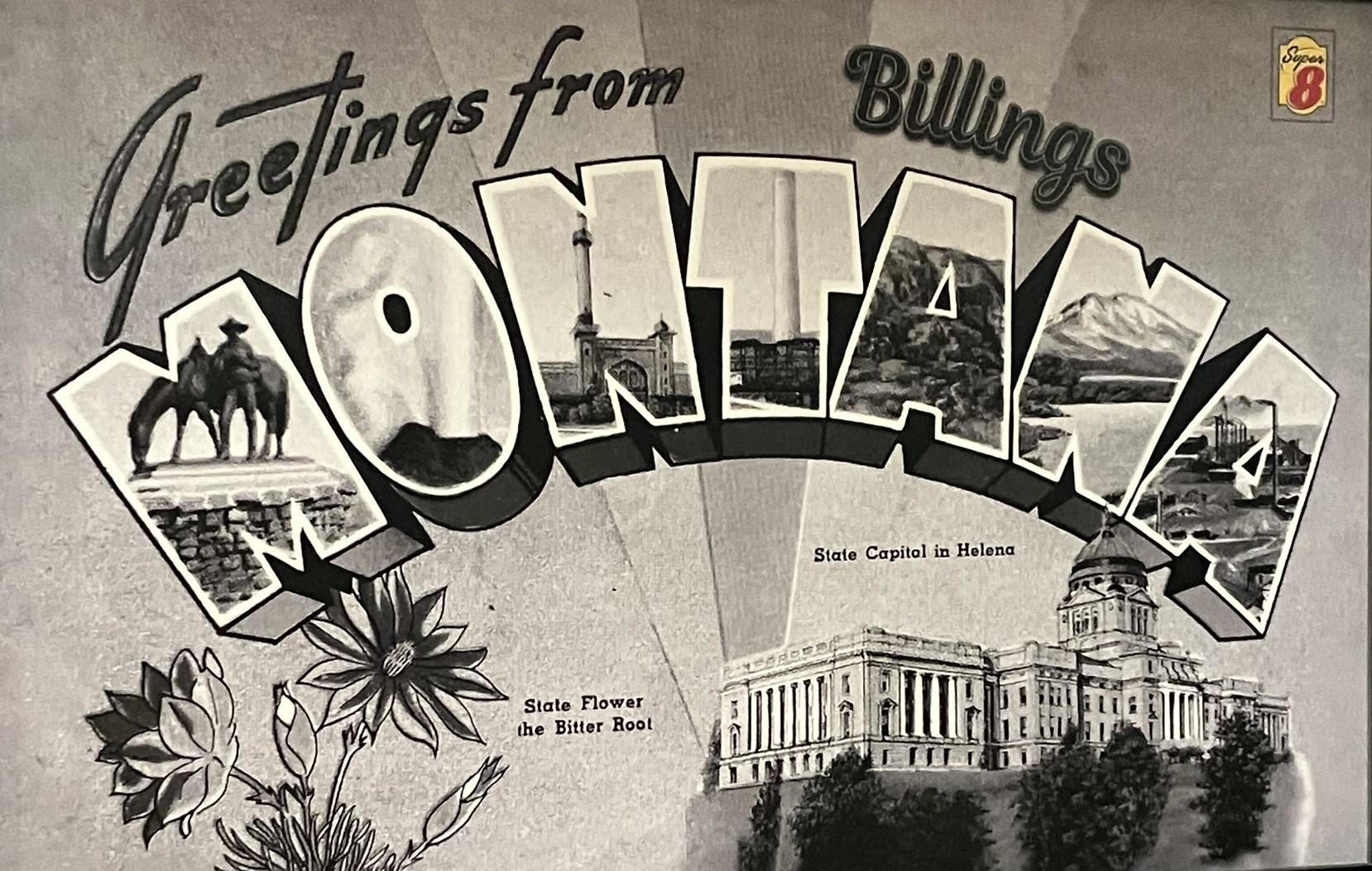
Got to my hotel – I favor Super 8 nowadays, which are generally decent and well priced motels – and settled in for the remainder of the evening, and booked my stay for the next two nights in Cut Bank, Montana (ever heard of it?), from where I’ll plan to visit Glacier National Park for one day (maybe two; we’ll see), following which I’ll be heading into Canada, to visit Banff, Alberta.